WMU 9B Hunting Bundle - Northern Ontario (7 maps)
Description
Description
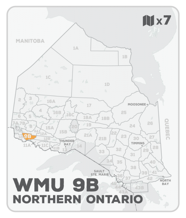
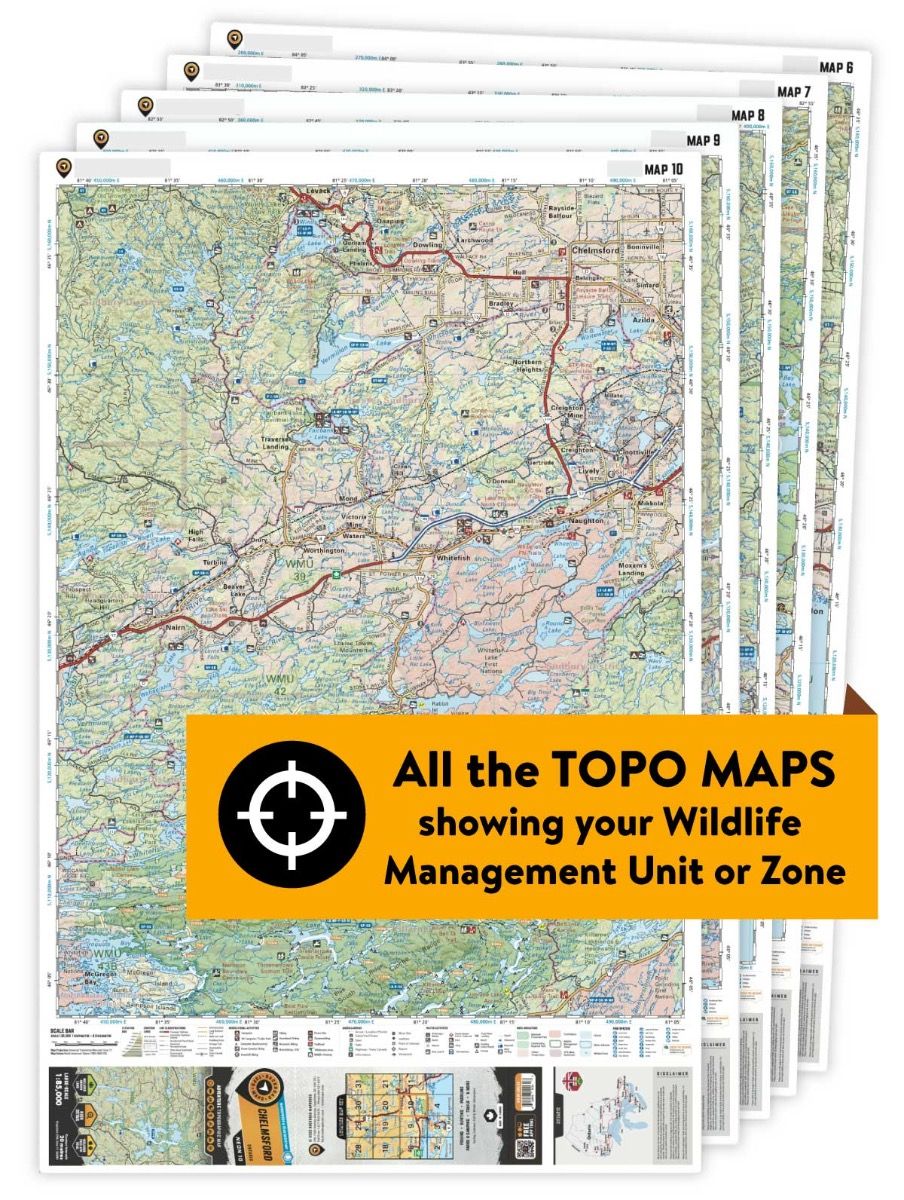
This hunting map bundle includes 7 individual topographic maps covering this zone. Printed at a 1:85,000 scale, these waterproof maps feature clearly marked Wildlife Management Units, along with private and crown land areas and motorized and hunting restricted areas. Updated road and trail systems, recreational points of interest, campsites, fish species and more make these the most detailed hunting maps available on the market. Bordered to the west by Highway 71 between Nestor Falls and Caliper Lake, Highway 502 also runs through WMU 9B connecting to Fort Frances which sits at the southwest corner of the unit. Highway 11 forms the southern border, while the northern border runs east from Nestor Falls to Highway 502 and then over to Turtle River, which forms the eastern boundary.
This hunting map bundle is available in print and includes BRMB TOPO maps NWON 8, 9, 10, 11, 21, 22 & 23. The digital or downloadable version is available through the Avenza Maps app and includes these same topographic maps that can be viewed and tracked on your phone or tablet when exploring the entire hunting area.
