WMU 9A Hunting Bundle - Northern Ontario (7 maps)
Description
Description
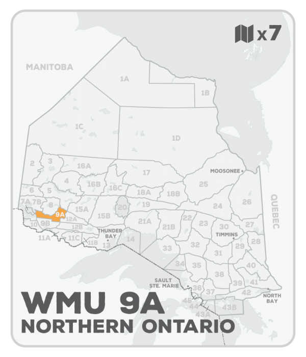
This hunting map bundle includes 7 individual topographic maps covering this zone. Printed at a 1:85,000 scale, these waterproof maps feature clearly marked Wildlife Management Units, along with private and crown land areas and motorized and hunting restricted areas. Updated road and trail systems, recreational points of interest, campsites, fish species and more make these the most detailed hunting maps available on the market. WMU 9A is found east of Lake of the Woods in the southern portion of northwest Ontario. Highway 502 runs through the WMU and connects the community of Dryden in the north to Fort Frances in the south. From Sioux Narrows, the northern boundary heads east down to Lawrence Lake before heading northeast through Lower and Upper Manitou Lakes to Dinorwic. Highway 71 forms a portion of its western boundary while Highway 17 part of its northern border. Larger lakes include Dogpaw, Caviar, Bowan and Lawrence Lakes.
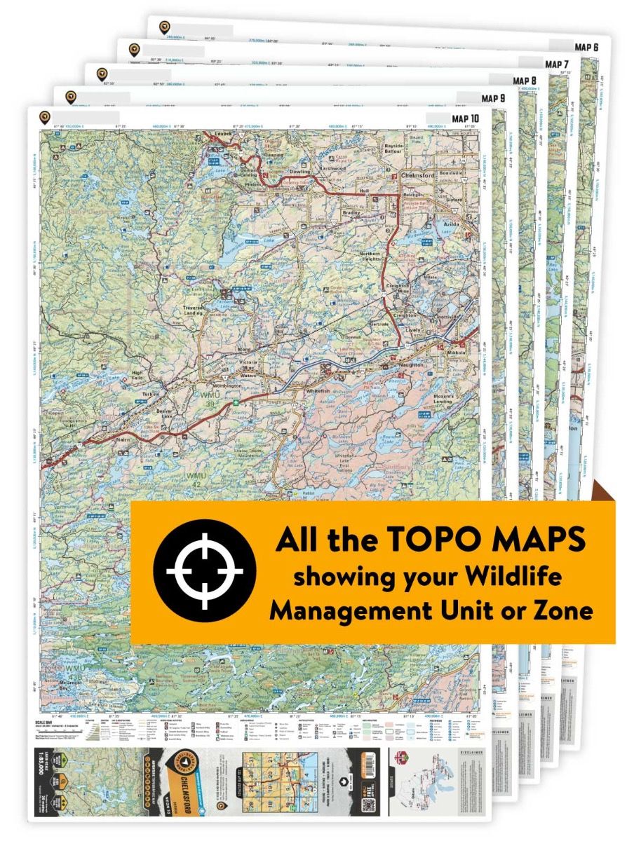
This hunting map bundle is available in print and includes BRMB TOPO maps NWON 10, 11, 21, 22, 23, 24 & 37. The digital or downloadable version is available through the Avenza Maps app and includes these same topographic maps that can be viewed and tracked on your phone or tablet when exploring the entire hunting area.