WMU 8 Hunting Bundle - Northern Ontario (6 maps)
Description
Description
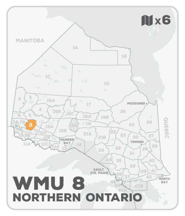
This hunting map bundle includes 6 individual topographic maps covering this zone. Printed at a 1:85,000 scale, these waterproof maps feature clearly marked Wildlife Management Units, along with private and crown land areas and motorized and hunting restricted areas. Updated road and trail systems, recreational points of interest, campsites, fish species and more make these the most detailed hunting maps available on the market. Highway 17 runs east-west through the centre of WMU 8 with Dryden being the main community and Dinorwic the furthest eastern point. Highways 105 and 665 lead north to the communities of Red Lake Road and Richan at the unitâs northern border which is defined by the rail line. Bowan and Lawrence Lakes along with the Lower and Upper Manitou Lakes designate the southern and eastern boundaries. Larger lakes within this WMU include Upper and Lower Manitou Lake and Wabigoon Lake.
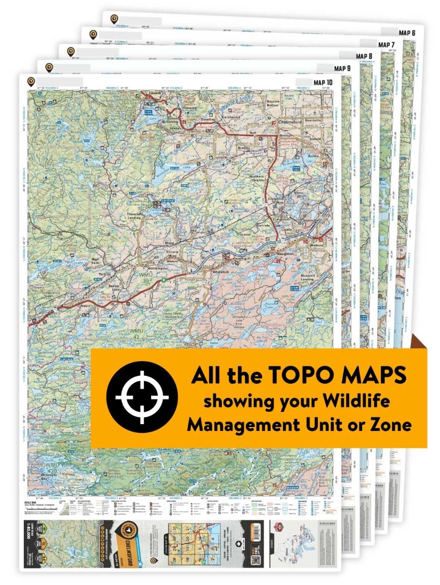
This hunting map bundle is available in print and includes BRMB TOPO maps NWON 22, 23, 24, 35, 36 & 37. The digital or downloadable version is available through the Avenza Maps app and includes these same topographic maps that can be viewed and tracked on your phone or tablet when exploring the entire hunting area.
