Description
Description
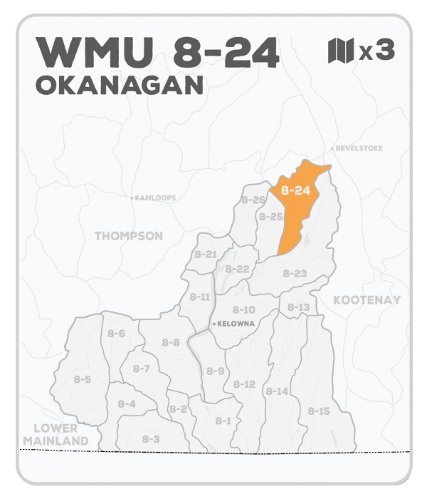
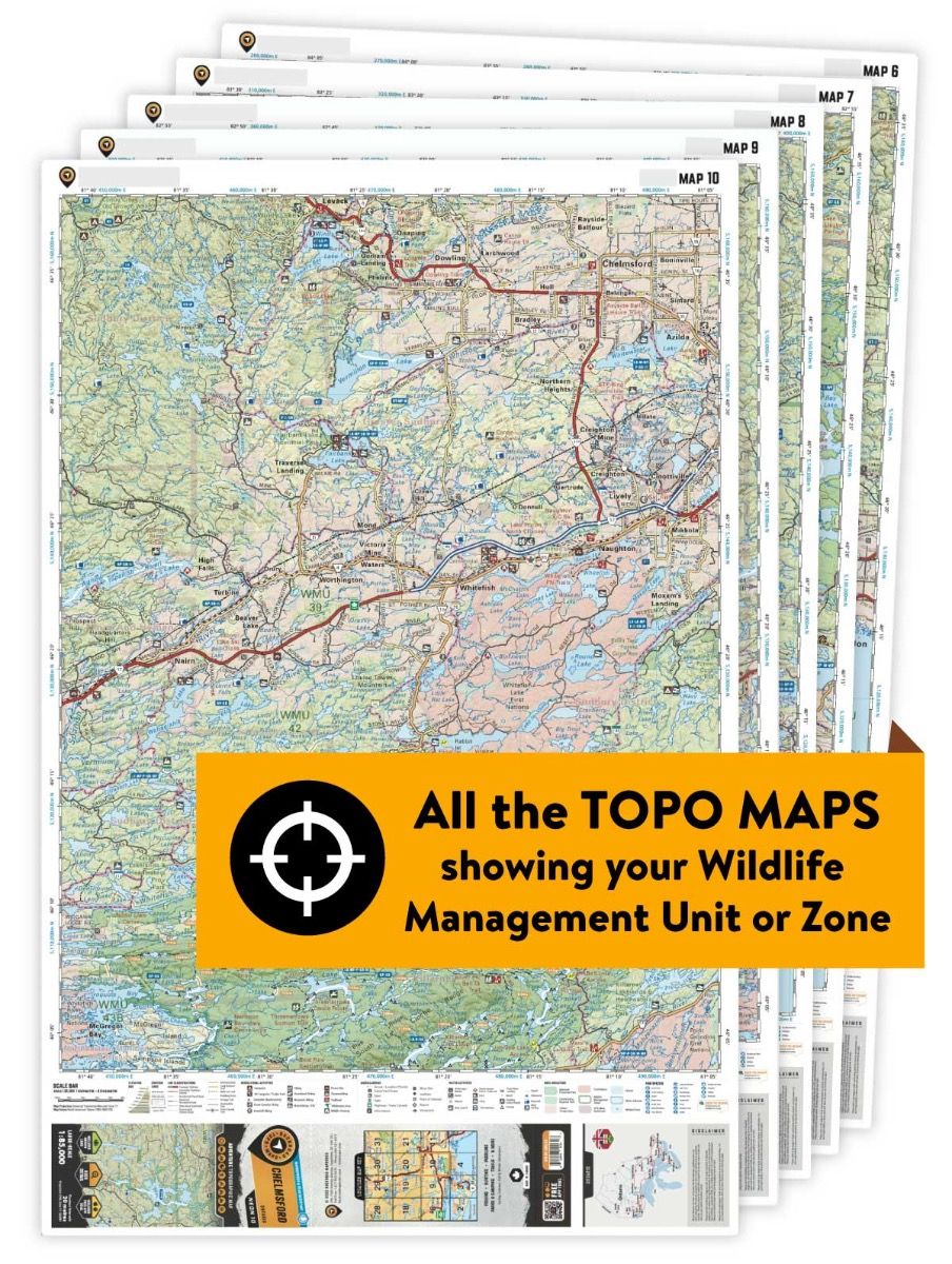
This hunting map bundle includes 3 individual topographic maps covering this zone. Printed at a 1:65,000 scale, these waterproof maps feature clearly marked Wildlife Management Units, along with private land areas and motorized and hunting restricted areas. Updated road and trail systems, recreational points of interest, campsites, fish species and more make these the most detailed hunting maps available on the market. WMU 8-24 covers an area to the north of the community of Mabel Lake, including around Mabel Lake and the Wap Creek drainage.
This waterproof hunting map bundle is available in print and includes BRMB TOPO maps TOBC 25, 31 and KRBC 34. There is also the option to add the regional mapbook to the bundle (at a discounted price).


