WMU 7B Hunting Bundle - Northern Ontario (8 maps)
Description
Description
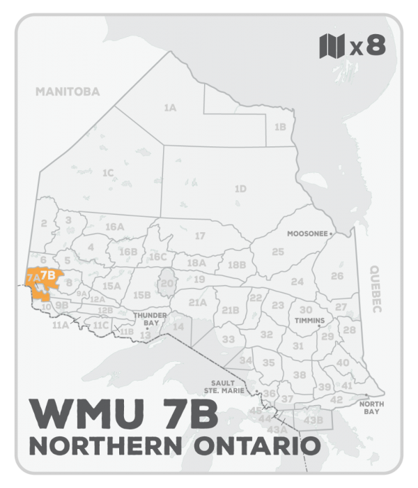
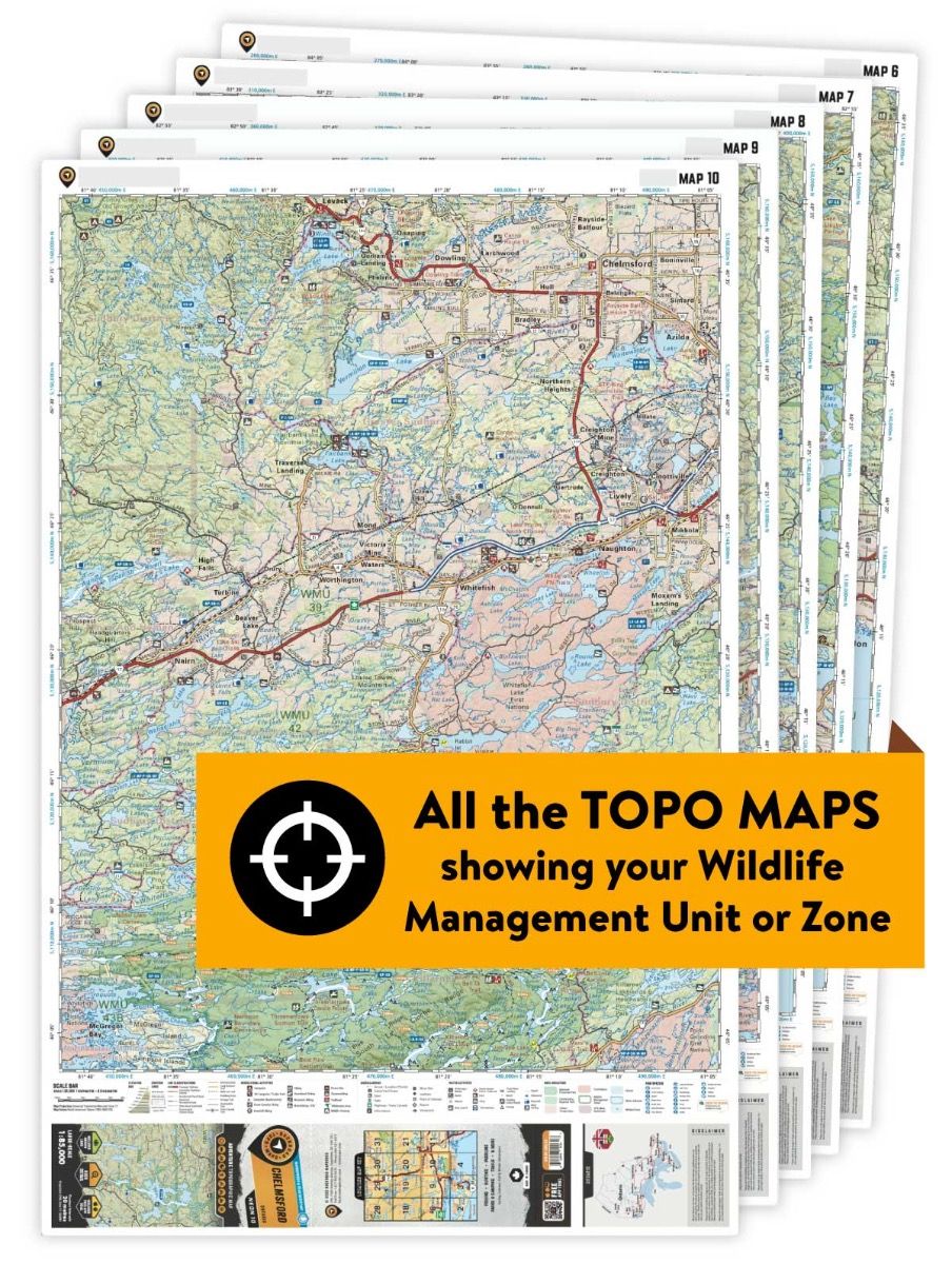
This hunting map bundle includes 8 individual topographic maps covering this zone. Printed at a 1:85,000 scale, these waterproof maps feature clearly marked Wildlife Management Units, along with private and crown land areas and motorized and hunting restricted areas. Updated road and trail systems, recreational points of interest, campsites, fish species and more make these the most detailed hunting maps available on the market. WMU 7B stretches up to the Manitoba border and follows the United States border along the state of Minnesota to the south with Highway 71, which runs up a portion of its eastern edge. The northern boundary of the WMU is defined by the rail line. Kenora, Keewatin, Vermillion Bay, Sioux Narrows and Rainy River are the bigger cities here, with Eagle Lake, Lake of the Woods, Silver Lake and Shoal Lake the lakes.
This hunting map bundle is available in print and includes BRMB TOPO maps NWON 7, 8, 20, 21, 22, 33, 34 & 35. The digital or downloadable version is available through the Avenza Maps app and includes these same topographic maps that can be viewed and tracked on your phone or tablet when exploring the entire hunting area.