WMU 5 Hunting Bundle - Northern Ontario (12 maps)
Description
Description
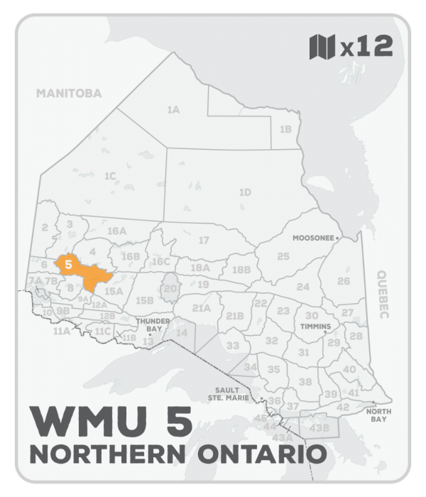
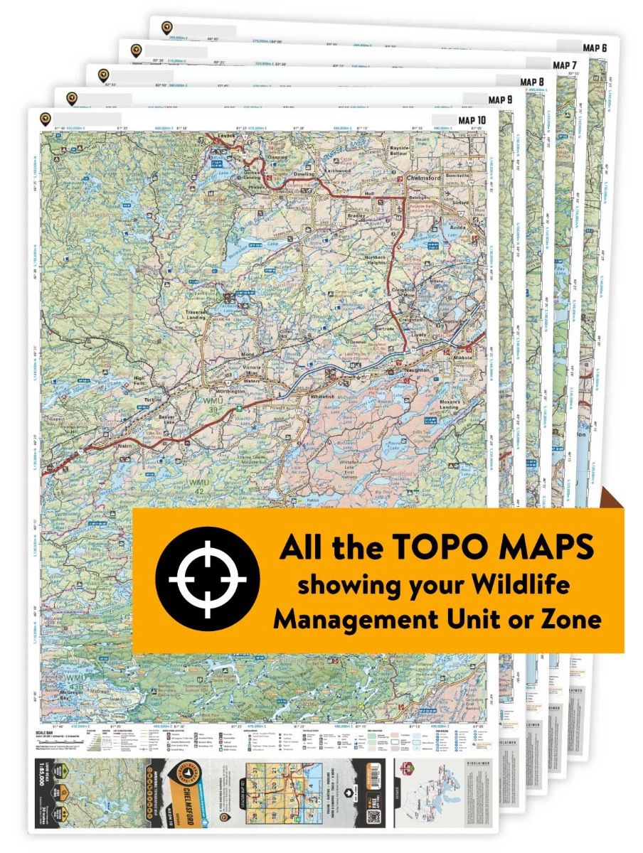
This hunting map bundle includes 12 individual topographic maps covering this zone. Printed at a 1:85,000 scale, these maps feature clearly marked Wildlife Management Units, along with private and crown land areas and motorized and hunting restricted areas. Updated road and trail systems, recreational points of interest, campsites, fish species and more make these the most detailed hunting maps available on the market. WMU 5 covers the Sioux Lookout area from Highway 17 in the south to Lac Seul in the north, with Highway 105 providing good access to the western reaches, and Highways 72, 516 and 642 good access to the eastern part of the unit. Heading north on Highway 72 from Dinorwic offers access to large lakes including Big Sandy Lake, Big Vermillion Lake and Minnitaki Lake.
This hunting map bundle is available in print and includes the Northwestern Ontario Backroad Mapbook along with Backroad TOPO maps NWON 24, 35, 36, 37, 38, 39, 47, 48, 49, 50, 51 & 52. The digital or downloadable version is available through the Avenza Maps app and includes these same topographic maps that can be viewed and tracked on your phone or tablet when exploring the entire hunting area.