WMU 402 Hunting Bundle - Livingstone Alberta (4 maps)
Description
Description
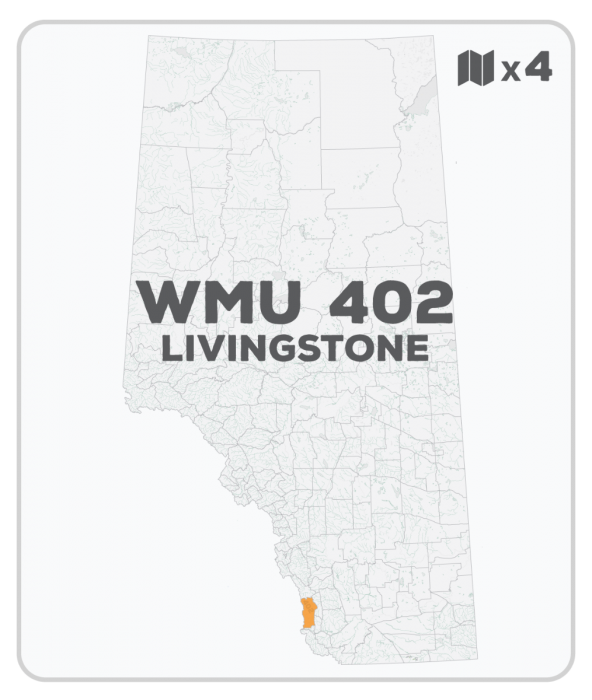
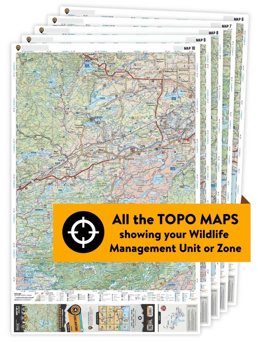
This hunting map bundle includes four individual topographic maps covering this zone. Printed at a 1:75,000 scale, these maps feature clearly marked Wildlife Management Units, along with Crown land areas, provincial grazing reserves and public land use zones. Updated road and trail systems, recreational points of interest, campsites, fish species and more make these the most detailed hunting maps available on the market. WMU 402 stretches north from the Crowsnest Pass area and is bordered by the BC boundary in the west, Secondary Roads 940 and 532 in the north and the Livingstone Range in the east.
This hunting map bundle is available in print and includes BRMB TOPO maps SOAB 9, 10, 18 and 19. The digital or downloadable version is available through the Avenza Maps app and includes these same topographic maps that can be viewed and tracked on your phone or tablet when exploring the entire hunting area.