WMU 4 Ontario Hunting Bundle - Northern Ontario (10 maps)
Description
Description
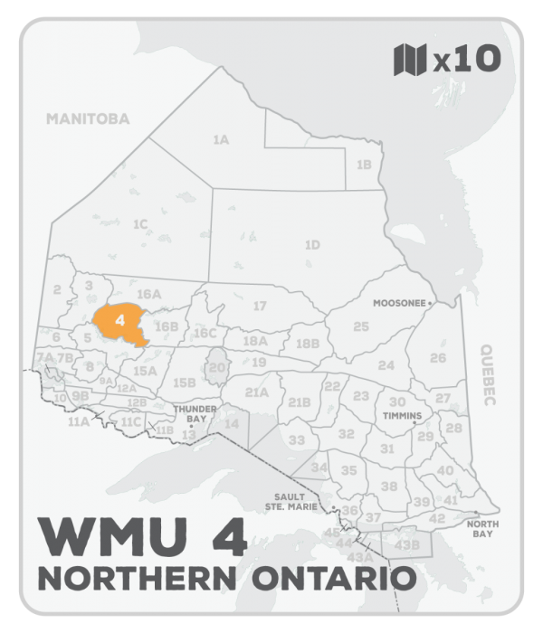
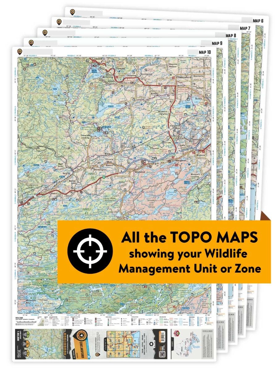
This hunting map bundle includes 10 individual topographic maps covering this zone. Printed at a 1:85,000 scale, these waterproof maps feature clearly marked Wildlife Management Units, along with private and crown land areas and motorized and hunting restricted areas. Updated road and trail systems, recreational points of interest, campsites, fish species and more make these the most detailed hunting maps available on the market. WMU 4 sits northeast of Sioux Lookout and extends east to the western edge of Lake St. Joseph with a portion of its southern border following the northern shores of Lac Seul. The communities of South Bay and Slate Falls are found along the WMUâs northern edge.
This hunting map bundle is available in print and includes BRMB TOPO maps NWON 38, 39, 48, 49, 50, 51, 52, 63, 64 & 65. The digital or downloadable version is available through the Avenza Maps app and includes these same topographic maps that can be viewed and tracked on your phone or tablet when exploring the entire hunting area.
