WMU 21B Hunting Bundle - Northern Ontario (13 maps)
Description
Description
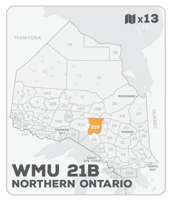
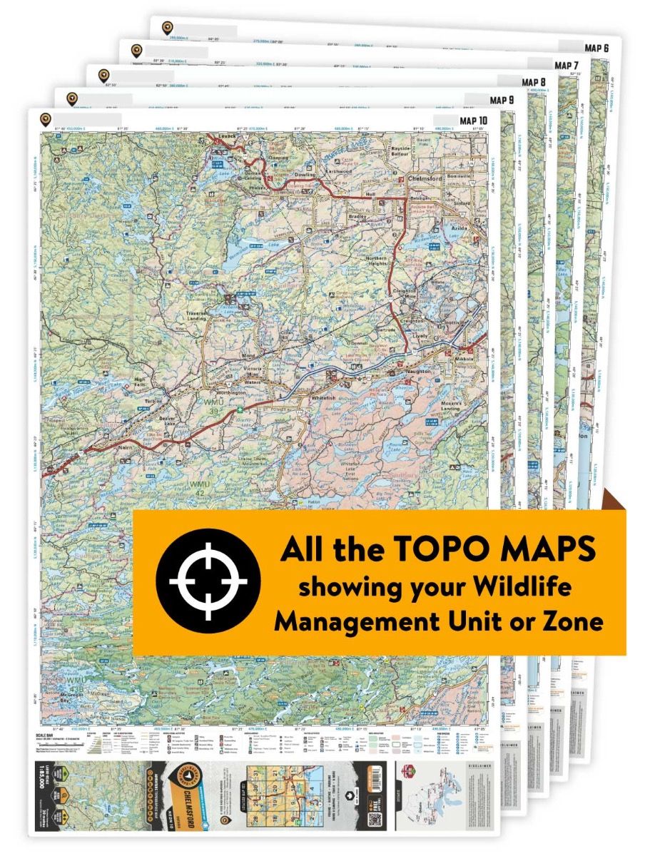
This hunting map bundle includes 13 individual topographic maps covering this zone. Printed at a 1:85,000 scale, these waterproof maps feature clearly marked Wildlife Management Units, along with Crown land areas, parks and game preserves. Updated road and trail systems, recreational points of interest, campsites, fish species and more make these the most detailed hunting maps available on the market. WMU 21B is located north of White River and is bounded by the Pic River in the west, Highway 631 in the east, Highway 11 in the north, and the White River and Highway 17 in the south. Highway 614 in the southwest provides good access to the Manitouwadge area, while Highway 631 links White River with Hornepayne and Palmquist in the east.
This hunting map bundle is available in print and includes BRMB TOPO maps NEON 45, 46, 47, 48, 57, 58, 59, 60, 69, 70, 71, 72 and 81. The digital or downloadable version is available through the Avenza Maps app and includes these same topographic maps that can be viewed and tracked on your phone or tablet when exploring the entire hunting area.
