Description
Description
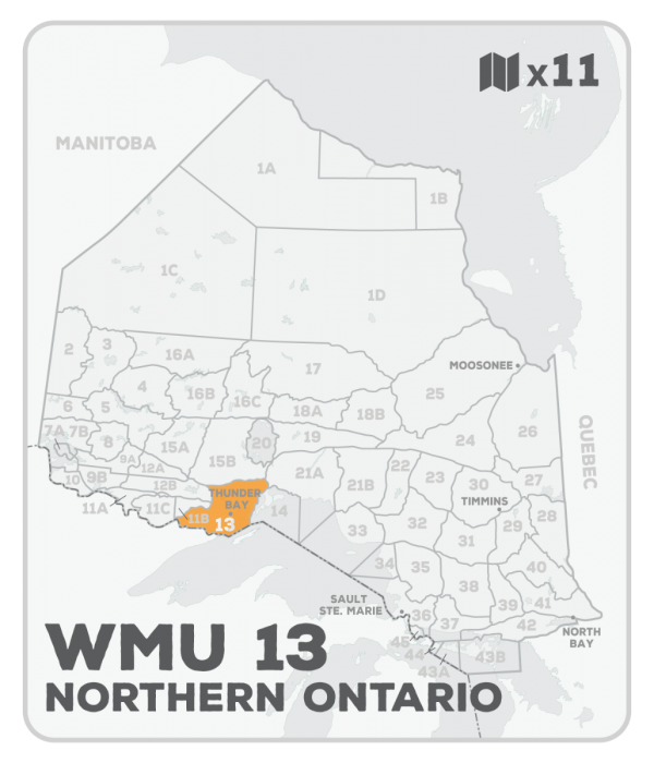
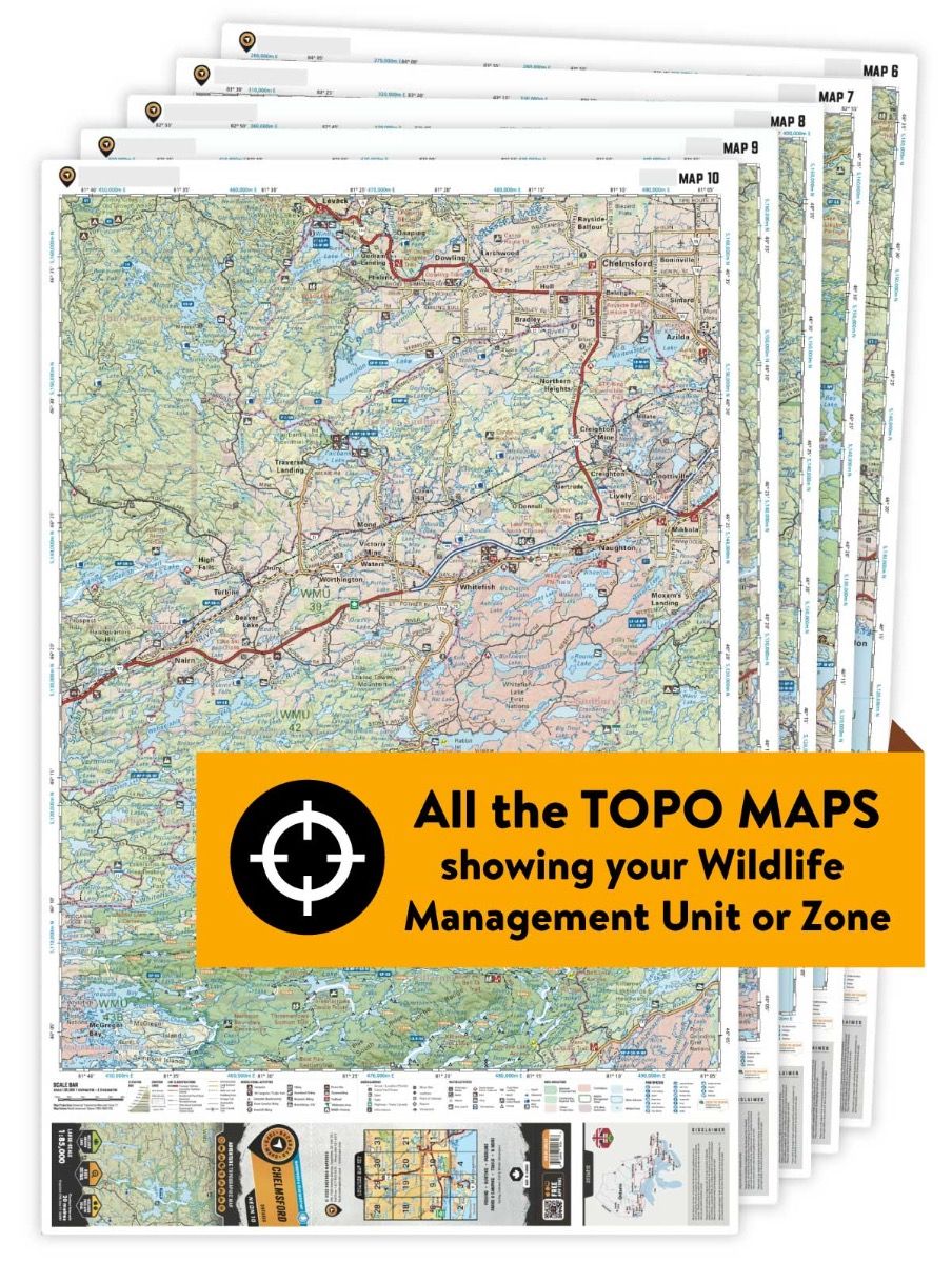
This hunting map bundle includes 11 individual topographic maps covering this zone. Printed at a 1:85,000 scale, these waterproof maps feature clearly marked Wildlife Management Units, along with private and crown land areas and motorized and hunting restricted areas. Updated road and trail systems, recreational points of interest, campsites, fish species and more make these the most detailed hunting maps available on the market. WMU 13 radiates out from Thunder Bay, following the Lake Superior shoreline south to the Minnesota border and north to Nipigon, while spreading west to the border of Quetico and following Highway 17 to just south of Upsala in the northwest. The unitâs northern border follows a transmission line west from Nipigon to Highway 17. The Boundary Waters Canoe Wilderness Area sits along the WMUâs southern boundary and Highway 588 leads to several large lakes including Arrow and Whitefish Lake. The communities of Pearl, Ouimet, Dorion and Hurkett provide good access as well.
This hunting map bundle is available in print and includes BRMB TOPO maps NWON 3, 4, 5, 6, 14, 15, 16, 17, 29, 30 & 31. The digital or downloadable version is available through the Avenza Maps app and includes these same topographic maps that can be viewed and tracked on your phone or tablet when exploring the entire hunting area.


