Unlock the Outdoors with 25% Off! Ends December 2nd, 2024

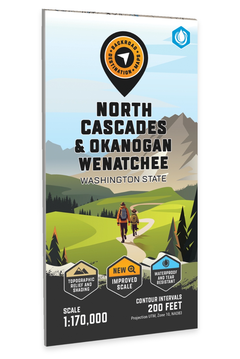
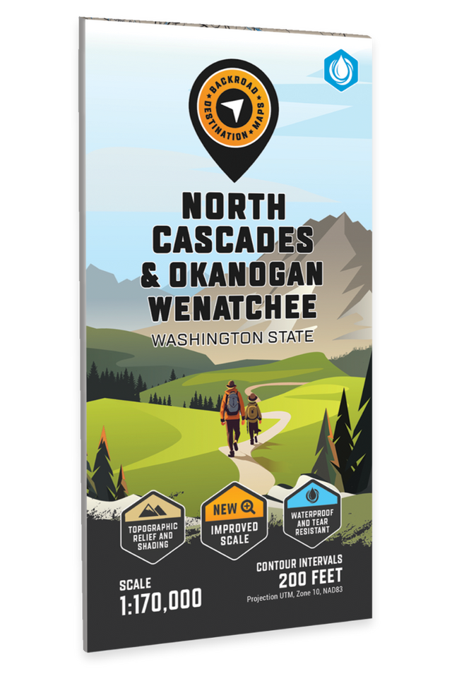
North Cascades, Okanogan Wenatchee, Washington State - Destination Map

Washington State 💧 Waterproof Map
$2124 $2499

Barcode: 6-22098-11012-8

Specs

Map Scale: 1:170,000
Release:
2020
Dimensions: 91.5 x 114 cm (36 x 45 inches)

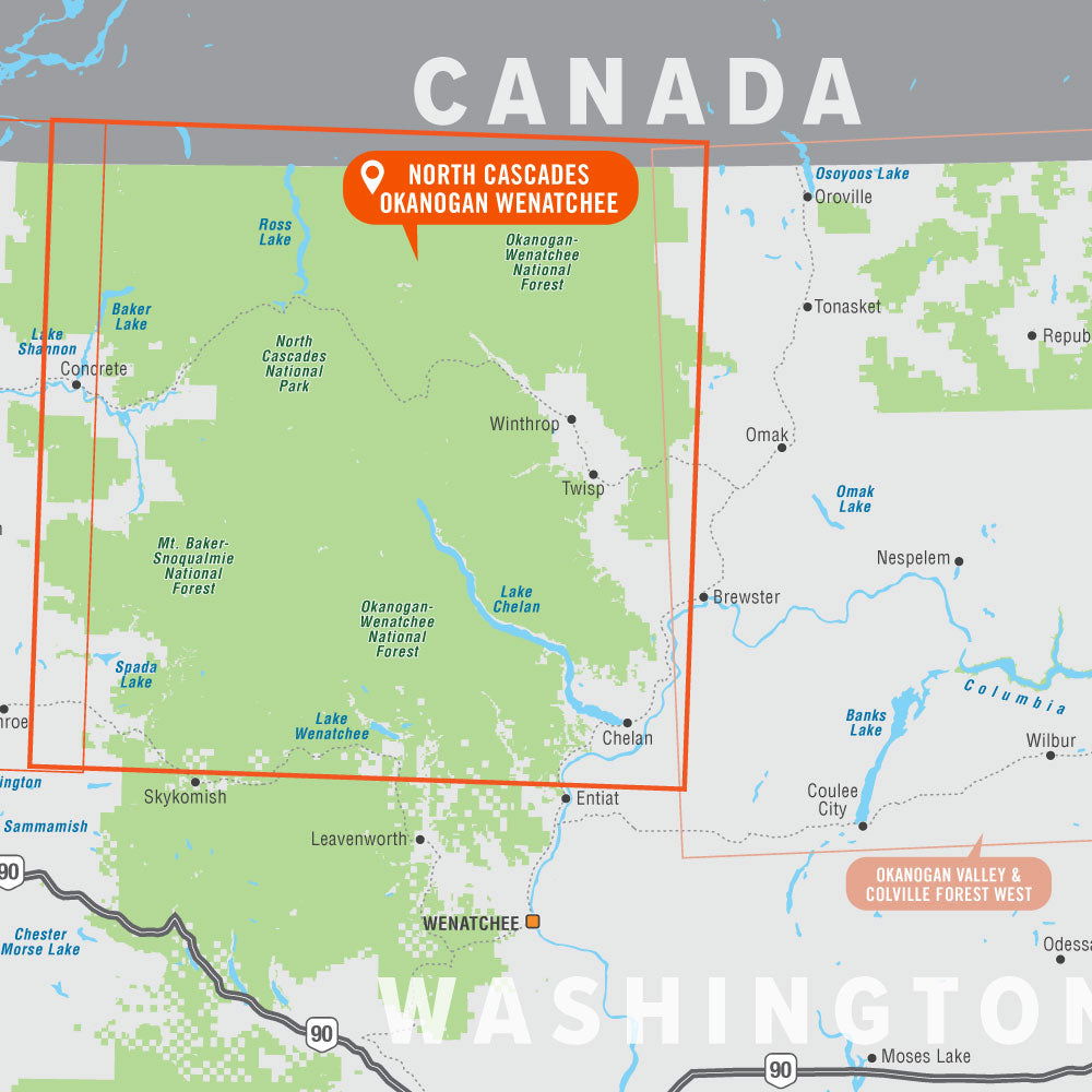
Area Covered

Chelan, Darrington, Gold Bar, Lake Wenatchee, Mount Baker, Sultan, Winthrop, North Cascades National Park, Mount Baker-Snoqualmie & Okanogan-Wenatchee National Forest, Chelan, King, Okanogan, Skagit, Snohomish & Whatcom County, Washington State

Map Features

Highways, Logging Roads, Land & Water Features, Parks & Forests, State & Public Land Areas, Adventure Points of Interest, Campgrounds, Cabins & Huts, Hiking & Motorized Trails, Paddling Routes, Hunting & Fishing Areas, Wildlife Viewing, Winter Rec

Description

North Cascades - Okanogan Wenatchee Recreation Map

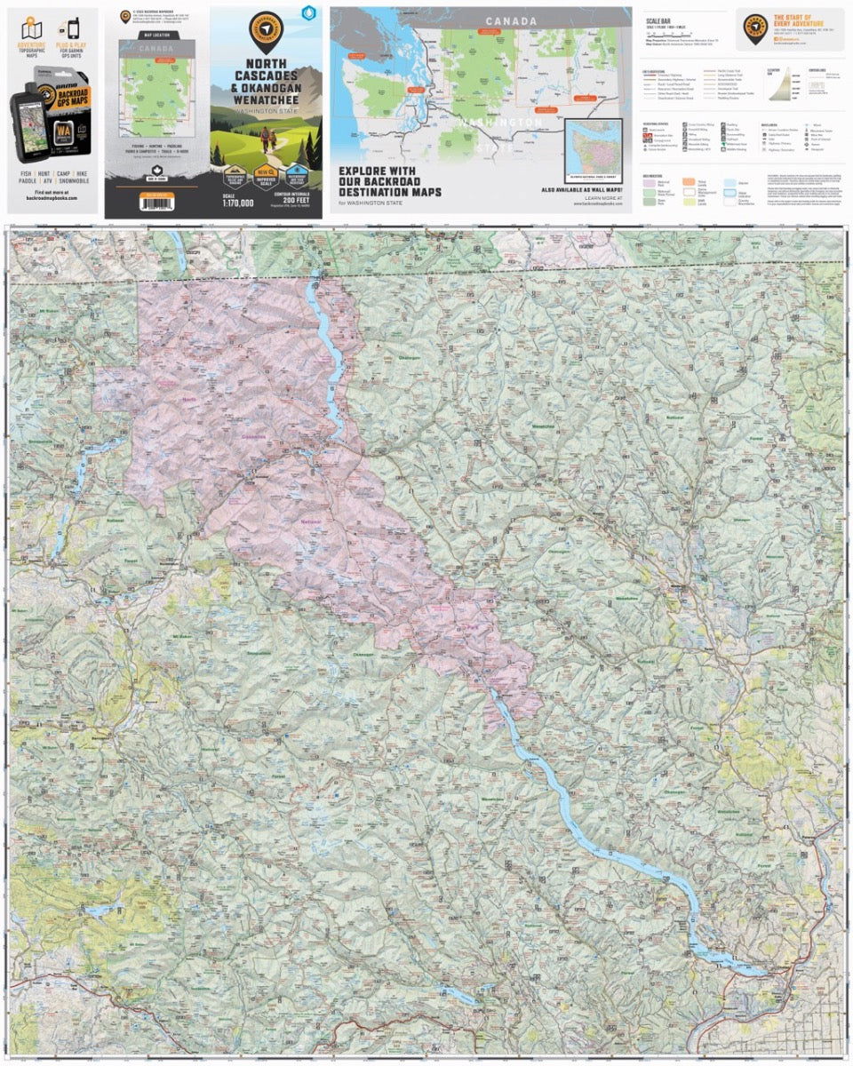
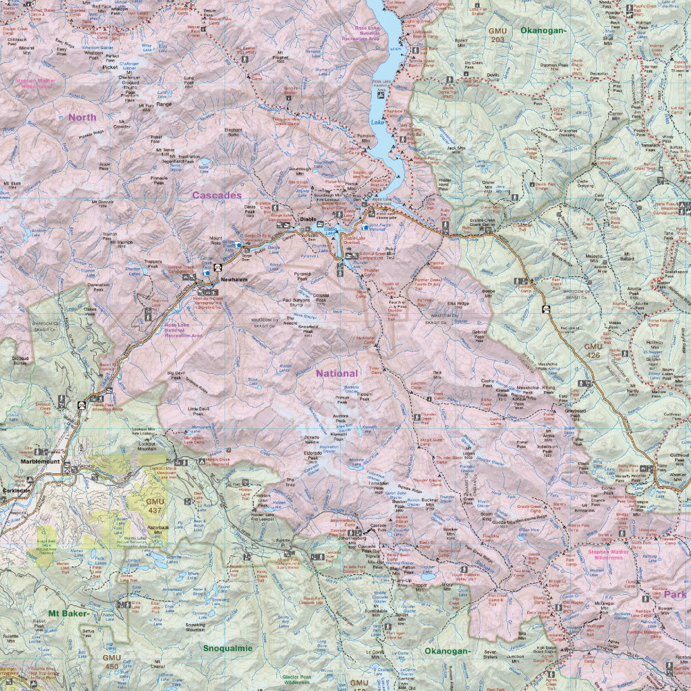
Stretching all the way from Mount Baker southeast to Lake Chelan, this topographic recreation map covers the North Cascades National Park as well as the Mount Baker-Snoqualmie and Okanogan-Wenatchee National Forests. The map highlights all the access roads, multi-use trails for hikers, mountain bikers, horseback riders, cross-country skiers and snowshoers, motorized trails for ORVers and snowmobiles as well as local fishing lakes and rivers, recreation areas, campgrounds, day-use areas, viewpoints, backcountry campsites, backcountry huts and more.


With industry-leading cartographic detail and special features including federal BLM, regional and DNR state owned land, private land and national forests, countless roads, trails and recreational Points of Interest, you won't find this level of recreational information anywhere else! Using 1:24,000-1:66,000 scale water and road data, this map covers 8,727 square miles and includes Baker Lake, Chelan, Darrington, Diablo, Gold Bar, Lake Chelan, Lake Wenatchee, Marblemount, Mount Baker, Pateros, Ross Lake, Sultan, Twisp, Winthrop and much more!


The printed version of the map is displayed at 1:170,000 scale on 36 x 45 inch paper on a durable waterproof synthetic material You can also choose the more decorative wall map version which is designed to fit into standard picture frame sizes to hand on your home, office or cabin wall.


Print Features:

  • Printed on a durable waterproof tear-resistant synthetic material
  • Includes industry leading cartographic detail and state-of-the-art relief shading
  • Countless points of interest, hiking trails, campsites, boat launches, paddling routes and more!
  • Easy to read, large-scale 36 x 45 inch map at 1:170,000 scale
  • Seamless map coverage requires no page turning

Looking for a different area?

Browse our TOPO Maps: Zoom into your province to see the map grid, then click on any of the highlighted areas to select your TOPO Map

North Cascades, Okanogan Wenatchee, Washington State - Destination Map - Park & Destination Map

North Cascades, Okanogan Wenatchee, Washington State - Destination Map

$2124 $2499
North Cascades - Okanogan Wenatchee Recreation Map Stretching all the way from Mount Baker southeast to Lake Chelan, this topographic recreation map covers the North Cascades National Park as well as the Mount Baker-Snoqualmie and Okanogan-Wenatchee National Forests. The map highlights all the access roads, multi-use trails for hikers, mountain...

Scale

1:170,000

Area

Chelan, Darrington, Gold Bar, Lake Wenatchee, Mount Baker, Sultan, Winthrop, North Cascades National Park, Mount Baker-Snoqualmie & Okanogan-Wenatchee National Forest, Chelan, King, Okanogan, Skagit, Snohomish & Whatcom County, Washington State

Dimensions

91.5 x 114 cm (36 x 45 inches)

Pages

1

Release

2020

Features

Highways, Logging Roads, Land & Water Features, Parks & Forests, State & Public Land Areas, Adventure Points of Interest, Campgrounds, Cabins & Huts, Hiking & Motorized Trails, Paddling Routes, Hunting & Fishing Areas, Wildlife Viewing, Winter Rec
View product