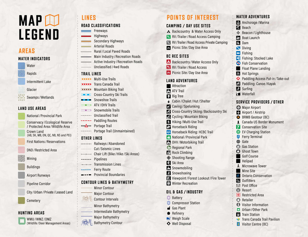
So Much More Than Just Maps!
Backroad Mapbooks’ industry-leading, Garmin-licensed Manitoba GPS Maps are the most detailed, comprehensive and up-to-date GPS maps available on the market. These are the maps of choice for recreation, industry, and search-and-rescue, with 3D views, shaded relief and countless geographic and activity based points-of-interest. Updated annually, these GPS maps are Garmin licensed for compatibility with Garmin GPS and Garmin Basecamp. Available in Micro SD format, these Manitoba GPS Maps are easy to install and use and bring you all of the detail of our wildly popular Backroad Mapbook series directly to your GPS device or computer. Keep your adventure rolling with the latest topographic data, routable roads, oil and gas data, Game Hunting Areas, trails, rec sites, paddling routes, scenic viewpoints and so much more. With the latest edition of our Manitoba GPS Maps in hand, your options for adventure are limitless.
Manitoba Backroad GPS Map Features
- Garmin-licensed & compatible with Garmin GPS™, Basecamp™, MapSource™ and RoadTrip™.
- Includes all standard Garmin features such as the Find tool, city navigation and more.
- Includes a Free One-Year Pro Subscription to the BRMB Maps smartphone App and Web Map.
- Preloaded 1:20,000 / 1:50,000 base scale seamless topographic maps.
- Provides 3D views and the highest level of map detail available on select Garmin GPS units and Basecamp™.
- Compatible with the latest Garmin 66i unit and inReach technology.
- The most complete Resource, Industry, and Logging road coverage available for Manitoba.
- Extensive routable road network including City, Resource, and Industry Roads.
- Highlights tens of thousands of kilometres of trail systems, including defined ATV, Paddling, Snowmobile, Long distance & Multi-use trails.
- Features smart background & Searchable Game Hunting Areas for hunters.
- Includes National, Provincial, Regional, and other Parks & Campsites.
- Extras like Lake & Stream Fishing information with boat launches, paddling access points, bathymetric depths, and more.
- Searchable BRMB descriptions and activity information for fishing, paddling, parks, trails and more.
- Thousands of Searchable cities, Geographic Land, and Water features.
- Includes Oil and Gas wellsites, cutlines, pipelines and more.
- Features Address and Land Survey Sections and Quarter Section grid searching to aid navigation.
- Industry leading cartographic contours and shaded relief for all of Manitoba.
- And much more!
Explore More by Using the Search Function
Search highly descriptive point of interest and recreation site write ups geo-referenced from our popular Backroad Mapbook guide book series.
Note: Backroad Extras or Points of Interest can be searched by selecting the Where To/Find > Extras and then Go! option, or read what each site offers through the More option.
Unique Road Classifications
Unique to the Backroad GPS Maps are our enhanced road classifications that help you distinguish the highways from the logging roads and the main roads from the side roads. This extra level of road classification helps you to know which roads can be driven in a car and which ones should be left to a four-wheel drive vehicle or ATV.
In addition, we offer more recreational points and symbols than any other map source. From RV accessible to backcountry campsites, hiking to snowmobiling trailheads, fishing to paddling access points, we have your adventure covered. Our area classifications include mines and gravel pits, conservation and restricted areas, and a host of other features that help you to see where you can play.
Get More Roads and Trails
Boasting more roads and trails than any other GPS maps, our road tracking classifications allow you to easily distinguish main industrial or logging roads from rarely travelled unclassified roads. Access over 92,500 km of routable city and rural roads, with 3 levels of industry roads (forest service, resource and recreational) along with close to 50,000 km of non-routable roads including unclassified and private roads. Close to 2,500 km of multi-use trails are separated for use by hikers, bikers and horseback riders, along with over 16,000 km of ATV and Snowmobile motorized trails. Trails are updated and expanded with the help of government agencies, off-road clubs and customers who contribute their own data.
Manitoba Road and Trail Highlights:
- 92,500+ kilometres of Routable Roads including city roads, rural roads, and 3 levels of Logging Roads (Industrial, Resource and Winter Access Roads)
- Close to 50,000 kilometres of non-routable roads including Old Logging Roads, Unclassified Roads, Alleyways, Leased and Private Roads and more
- Over 2,400 kilometres of Multi-Use Trails for hikers, mountain bikers, horseback riders, cross-country skiers, plus over 1,500 kilometres of the Trans Canada Trail
- 14,500+ kilometres of Snowmobile Trails
- Over 1,600 kilometres of ATV-QUAD Trails
- Over 13,200 kilometres of Paddling Routes