Description
Description
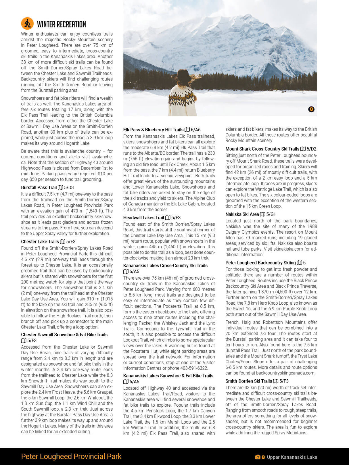
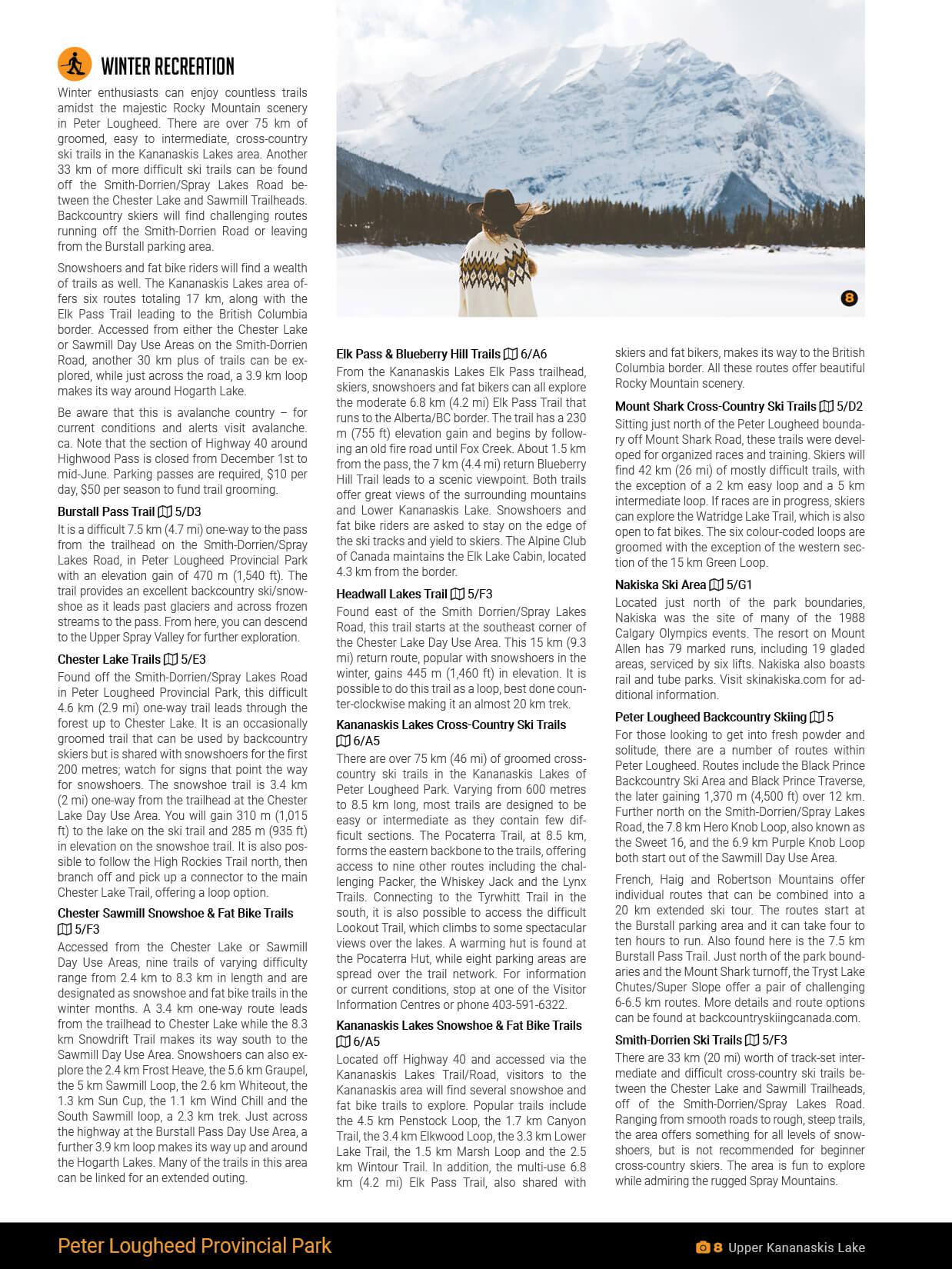
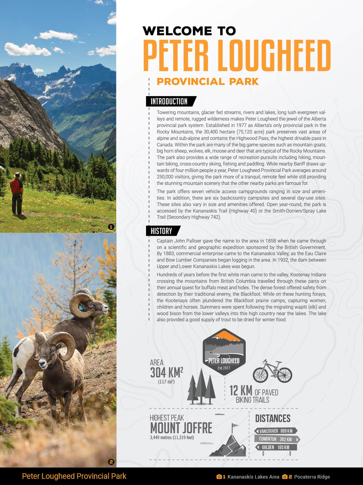
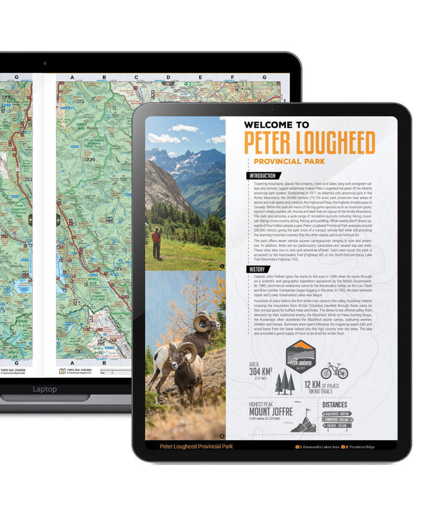
Peter Lougheed Park encompasses vast areas of sub-alpine and alpine terrain, including the Highwood Pass, the highest altitude drivable pass in Canada, and the ever-popular High Rockies Trail. This park receives relatively fewer visitors than Banff, however it is gaining in popularity as its phenomenal scenery and ample opportunities for outdoor recreation, such as hiking, mountain biking, fishing, camping and paddling, do not disappoint. In the winter, snowshoeing around the Kananaskis Lakes in Peter Lougheed Provincial Park is a popular activity Ã_x0090_ our PDF booklet provides information on where to find the best snowshoeing trails in the park.
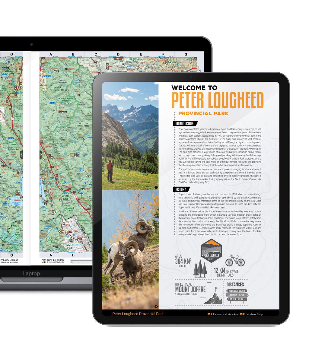
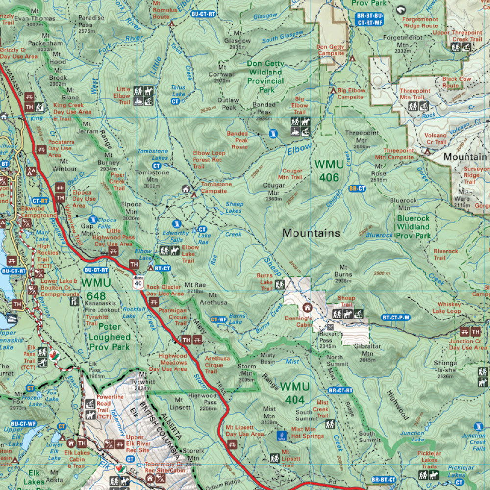
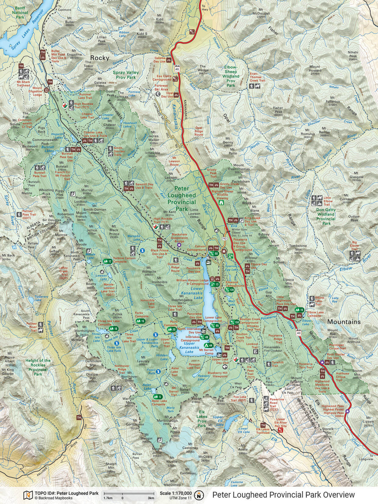
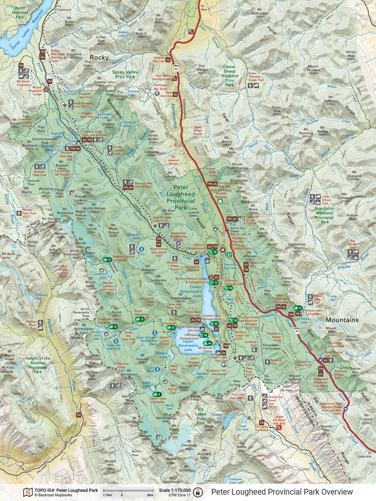
The PDF bundle includes large and small scale topographic maps, including a detailed park overview map and trail map of the Kananaskis Lakes area, making it easy to find the Peter Lougheed destination you are looking for. The 12 page booklet also highlights Things to Know, Things to See & Do, contact information, places to camp or stay, day-use areas, and countless recreational activities for things like fishing, trails, paddling, rock climbing, wildlife viewing and winter sports. Covering Peter Lougheed Provincial Park like no other guidebook or map, this is the perfect guide to get you away from it all!
Adventures
Adventures
Features
Features
The PDF booklets are zoomable for easier reading of small text, lightweight and easily carried with you. Featuring all of the park information found in the Canadian Rockies Backroad Mapbook in one downloadable booklet, they are a must have on any park adventure. Features include:
- Easy to Read: zoom into the maps or text for easy route planning
- Lightweight: transport several mapbooks at once using your phone, tablet, or computer
- Easy to Navigate: use the index or search function for easy navigation between pages and maps
- Eco-Friendly: zero paper waste!
The Peter Lougheed Provincial Park PDF Booklet Contains:
Park Information:
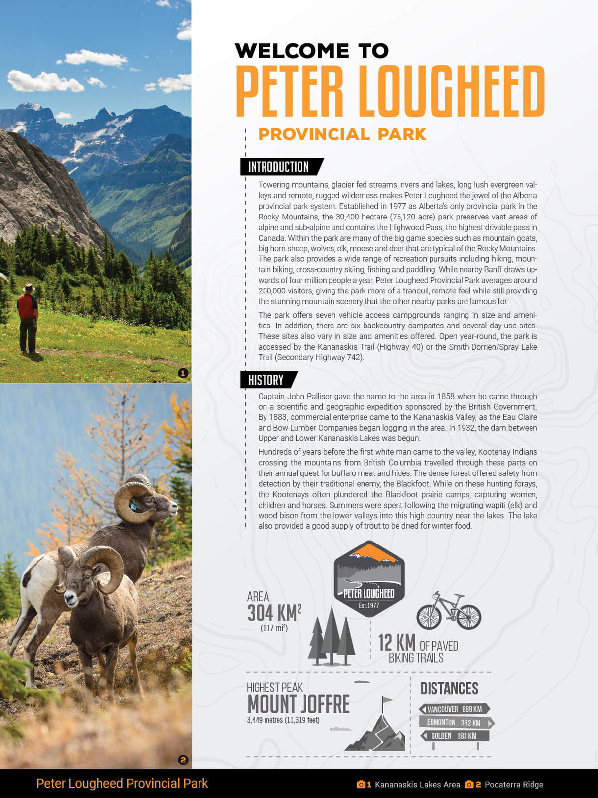
- Introduction & History
- Things to Know
- Facilities & Activities
- Contact Information
- Things to See & Do
- Trip Planning Tools
Topographic Maps:
- Two 1:200,000 Scale Maps
- A Park Overview Map @ 1:170,000 scale
- A detailed Trail Map of Kananaskis Lakes @ 1:60,000 scale
Adventures:
- Camping & Accommodations
- Fishing
- Paddling
- Rock Climbing
- Trails
- Wildlife Viewing
- Winter Activities

