
Cape Breton, Nova Scotia - Wall Map
Nova Scotia
Couldn't load pickup availability
Scale & Dimensions
Scale & Dimensions
Map Scale: Created at
Note: In case of multiple options, the actual map scale will vary depending on the wall map size you choose.
Dimensions: 3 Options Available
Area Covered
Area Covered
This map includes
Map Features
Map Features
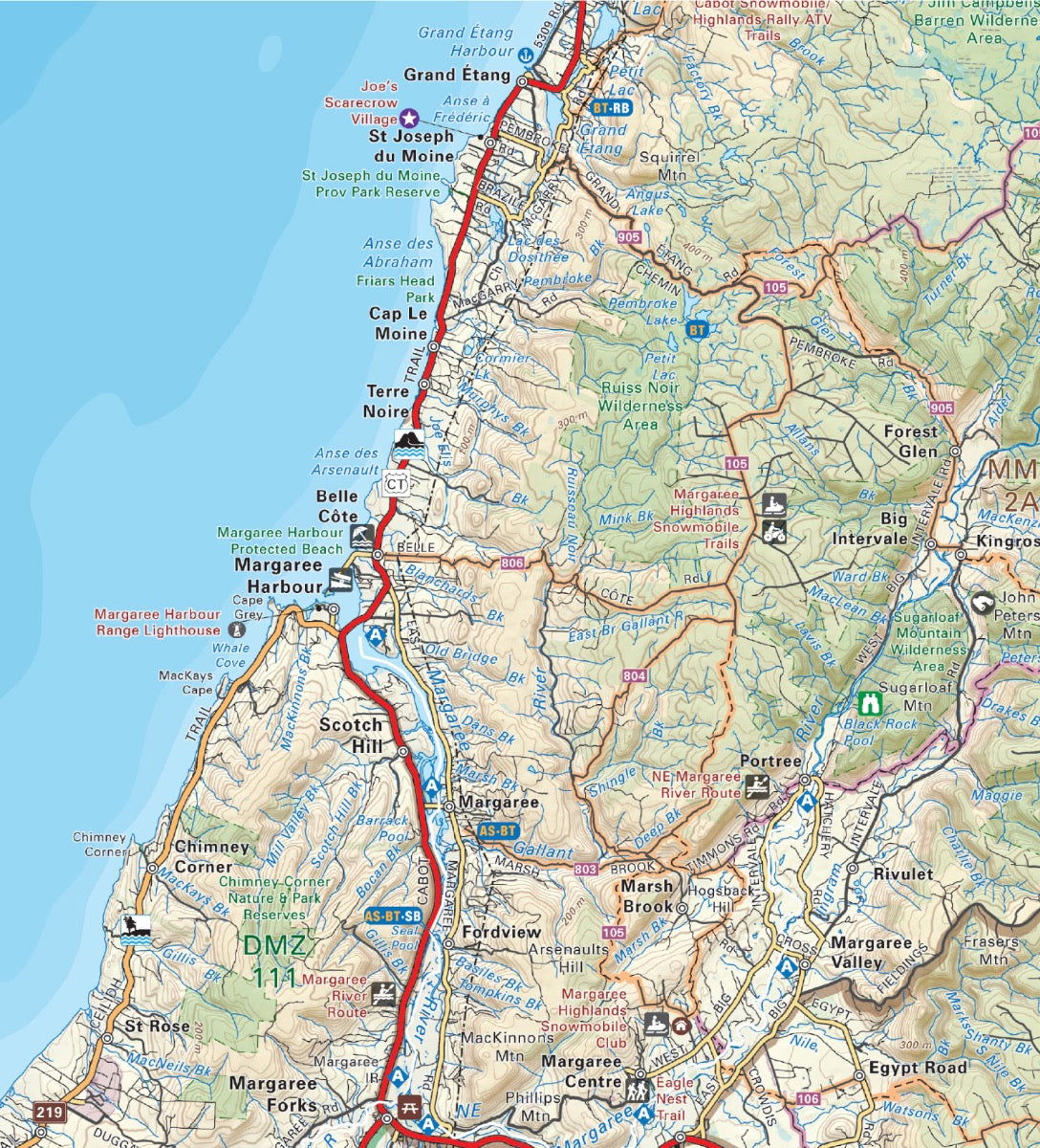
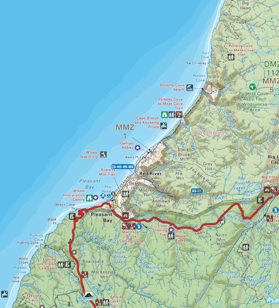
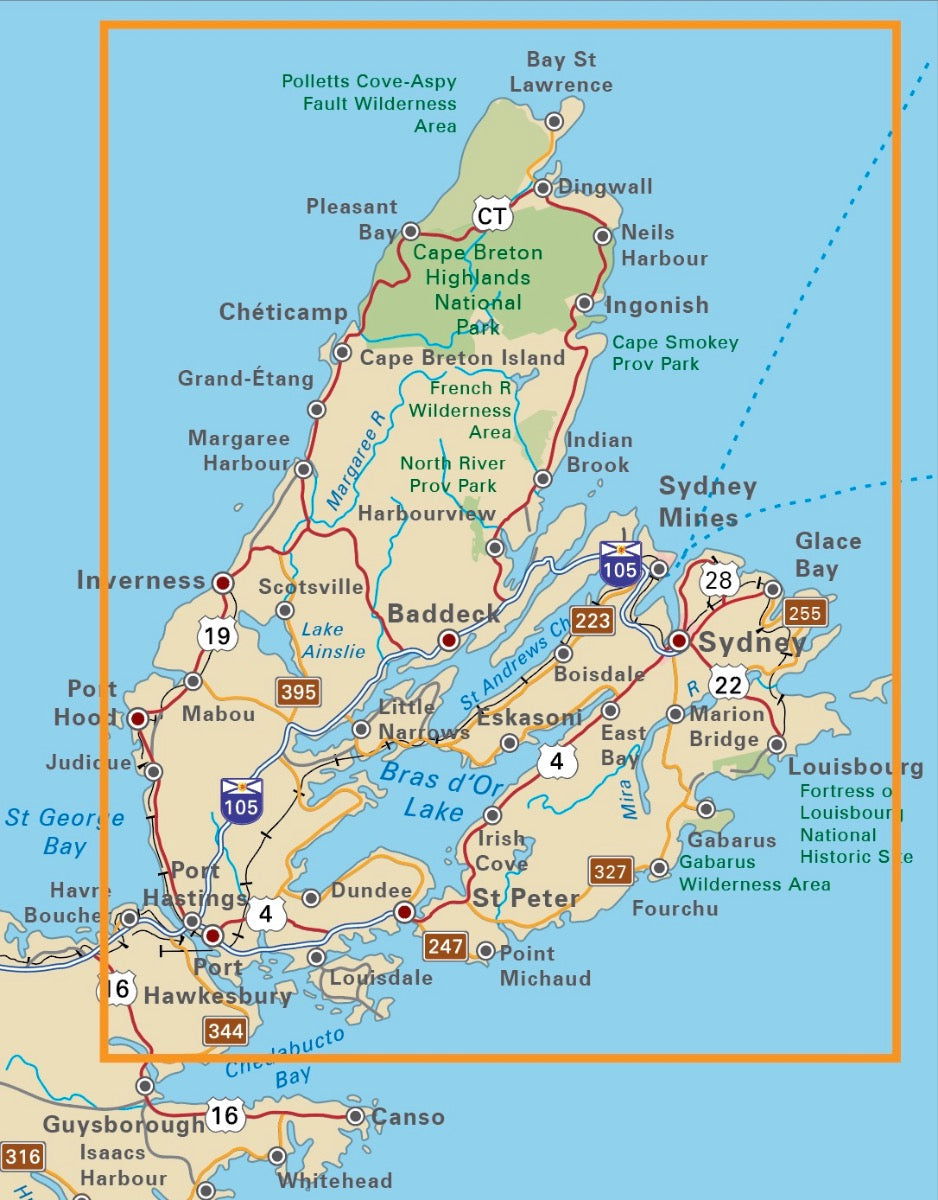
Covering all of Cape Breton Island, Nova Scotia, this topographic adventure map showcases this popular area of Atlantic Canada like never before. Produced using the ever-popular Backroad Mapbook series of maps, the map features all the highways and logging roads, attractions, campsites, fishing hot spots, hunting management zones, paddling routes and trails in the area. With 1:10,000 water and road data, no other map for the area provides you with this level of recreational or topographic detail. Unique to this Backroad Destination Map is information on camping and trails in Cape Breton Highlands National Park. Printed on a durable synthetic material, the map includes Bras d'Or Lake, Cabot Trail, Cape Breton Highlands National Park, Dingwall, Inverness, Louisbourg, Port Hawkesbury, Sydney and more!
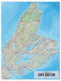
The Wall Map Format
The Wall Map version of this map features a minimal layout to display nicely to fit into common picture frame sizes so you can hang it on the cabin, home or workshop wall.
All maps come printed on waterproof synthetic material for extra durability.

