SKSK98 TOPO Map - Ile-A La-Crosse

Saskatchewan TOPO Map · Folded · Waterproof
$1995

Barcode: N/A

Scale & Dimensions

Map Scale: Created at 1:100,000
Note: In case of multiple options, the actual map scale will vary depending on the wall map size you choose.

Dimensions: 61 x 94 cm/24 x 37 inches

Area Covered

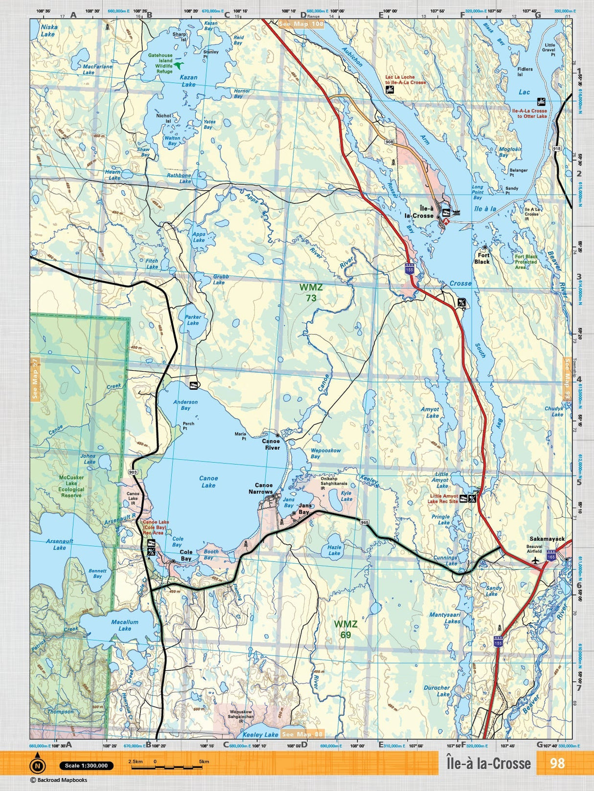
This map includes McCusker Lake, McCusker Lake Ecological Reserve, McCusker River, Carlton Lake, Armitage Lake, Arsenault Lake, Niska Lake, Cummins Lake

Map Features

Highways, Logging Roads, Land & Water Features, Parks, Adventure Points of Interest, Campgrounds, Hiking Trails, Motorized Trails, Paddling Routes, Hunting & Fishing Areas, Winter Recreation and More.

This recreation topographic map for the Ile-a la-Crosse area highlights all the logging and resource roads, multi-use trails for hikers, mountain bikers, horseback riders, cross-country skiers and snowshoers, motorized trails for ATVers and snowmobilers, fishing lakes and rivers, recreation areas, campgrounds, day-use areas, viewpoints, backcountry campsites, work camps, oil & gas sites and more. No other map for the area provides you with this level of recreational or topographic detail. Covering 4,450 km2 (1,620 mi2) in total, this 1:100,000 scale map measures 58 x 77 km (36 x 48 mi). Special features include the addition of Oil & Gas information including gas plants, disposal and compressor stations and updated seismic line corridors, the addition of Municipal Regional District Boundaries, new lake data and more. This map includes Ile-a-la-Crosse, Kazan Lake, Canoe Lake, Arenault Lake, Macallum Lake, Beaver River, McCusker Lake Ecological Reserve, Canoe River and more! This map also covers the following Wildlife Management Units: WMZ 45W, WMZ 47, WMZ 55, WMZ 68N, WMZ 68S. Ile-A La-Crosse - Saskatchewan is printed on demand at our office in Coquitlam (BC) and measures 61 x 94 cm (24 x 37 inches).

Also Available on Avenza

Want the whole book?
Get the whole book in one easily downloadable format from here: Shop Map Bundles

Only interested in one or two maps?
Get the individual TOPO PDF Maps from here: Shop Individual Maps

The TOPO Map Format

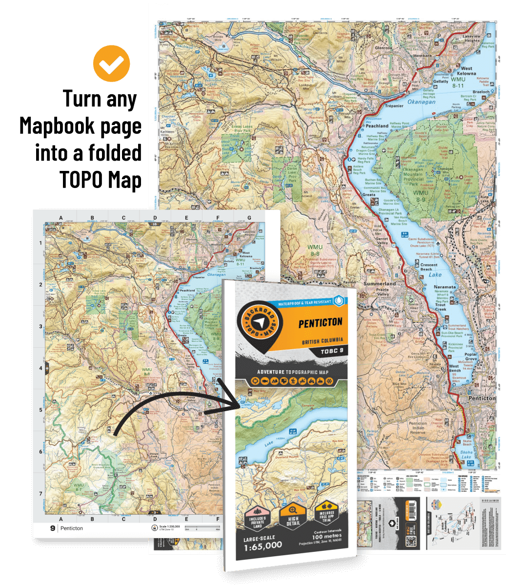
The TOPO Maps series lets you select any map from our Backroad Mapbooks collection, enlarged for a clearer and more detailed view of your area. These High-Detail Maps feature industry-leading topographic relief, making them ideal for your hunting, paddling, hiking, or camping trips.

Lightweight & Durable

Each map measures 24” by 37” flat and folds to a compact 4.25” by 9.25”. Printed on a waterproof synthetic material for extra durability.

Large-scale = More Detail

Starting at 1:50,000 scale with shaded relief and contour lines. Features UTM and Latitude/Longitude grid, along with a map location grid and scale bar for easy and accurate navigation.

Printed on Demand

Customizable map areas are available by request: contact us for special TOPO requests such as custom map areas, adding features or other customization requests at info@backroadmapbooks.com

See More
SKSK98 TOPO Map - Ile-A La-Crosse - Backroad Maps

SKSK98 TOPO Map - Ile-A La-Crosse

$1995
This recreation topographic map for the Ile-a la-Crosse area highlights all the logging and resource roads, multi-use trails for hikers, mountain bikers, horseback riders, cross-country skiers and snowshoers, motorized trails for ATVers and snowmobilers, fishing lakes and rivers, recreation areas, campgrounds, day-use areas, viewpoints, backcountry campsites, work camps, oil &...

Scale

1:100,000

Area

McCusker Lake, McCusker Lake Ecological Reserve, McCusker River, Carlton Lake, Armitage Lake, Arsenault Lake, Niska Lake, Cummins Lake

Dimensions

61 x 94 cm/24 x 37 inches

Pages

n/a

Release

2017

Features

Highways, Logging Roads, Land & Water Features, Parks, Adventure Points of Interest, Campgrounds, Hiking Trails, Motorized Trails, Paddling Routes, Hunting & Fishing Areas, Winter Recreation and More.
View product