From the Great Lakes to the Canadian Shield, Backroad Maps offers the most trusted outdoor maps for Ontario. Explore top destinations like Cottage Country, Algonquin, and the Northern wilderness with detailed guidebooks, folded maps, wall maps, and GPS maps for every adventure type, such as camping, hiking, paddling, fishing, and hunting.
Choose your Region: Southern Ontario | Cottage Country Ontario | Northeastern Ontario | Northwestern Ontario

 $1995Unit price /Unavailable
 $1995Unit price /Unavailable
-
$1995Unit price /Unavailable
-
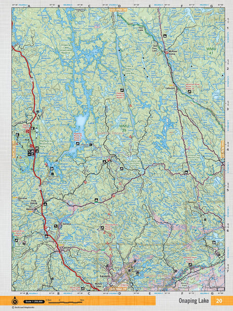
NEON20 TOPO Map - Onaping Lake
$1995Unit price /Unavailable -
$1995Unit price /Unavailable
-
$1995Unit price /Unavailable
-
$1995Unit price /Unavailable
-
$1995Unit price /Unavailable

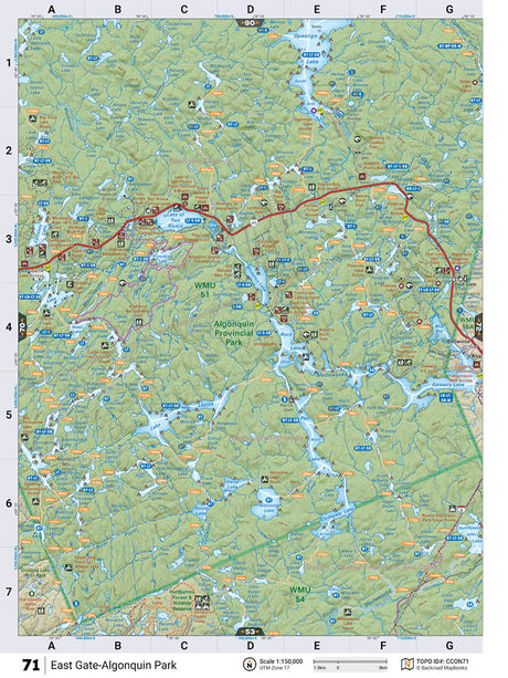
CCON71 TOPO Map - East Gate (Algonquin Park)
$1995Unit price /Unavailable-
$1995Unit price /Unavailable
-
$1995Unit price /Unavailable


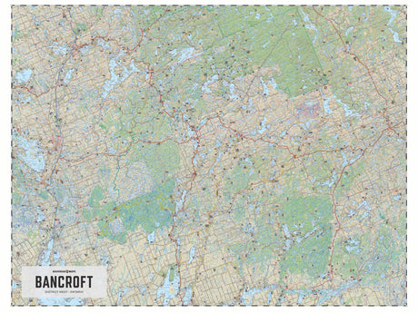
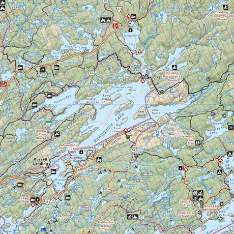
Bancroft District (West) Crown Land Ontario - Wall Map
From $5995Unit price /Unavailable

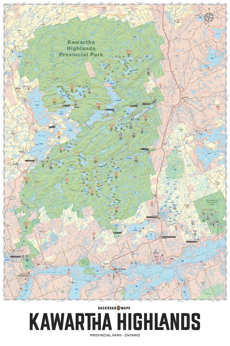
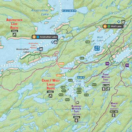
Kawartha Highlands Provincial Park ON - Wall Map
From $5995Unit price /Unavailable

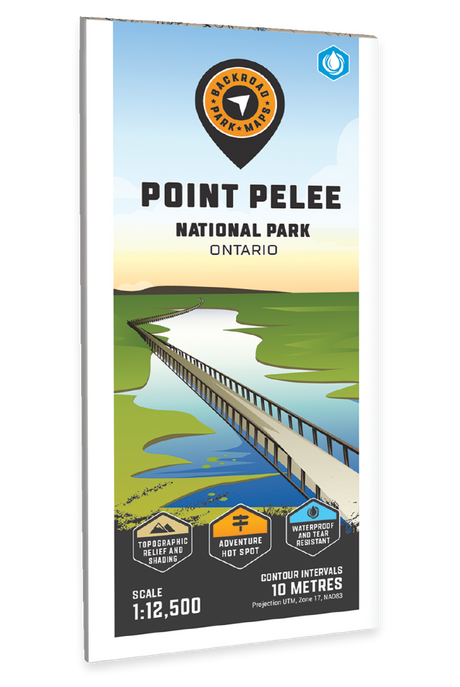
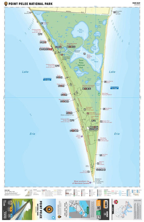
Point Pelee National Park Ontario - Park Map
$1999Unit price /Unavailable-
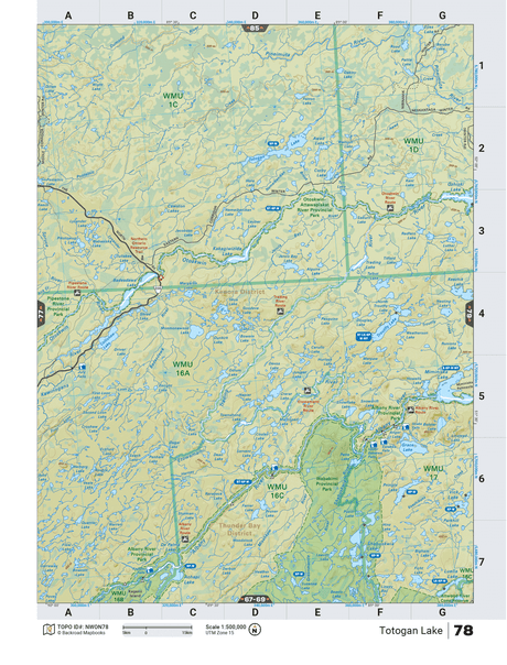
NWON78 TOPO Map - Totogan Lake
$1995Unit price /Unavailable