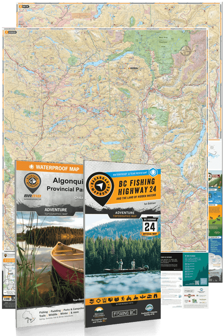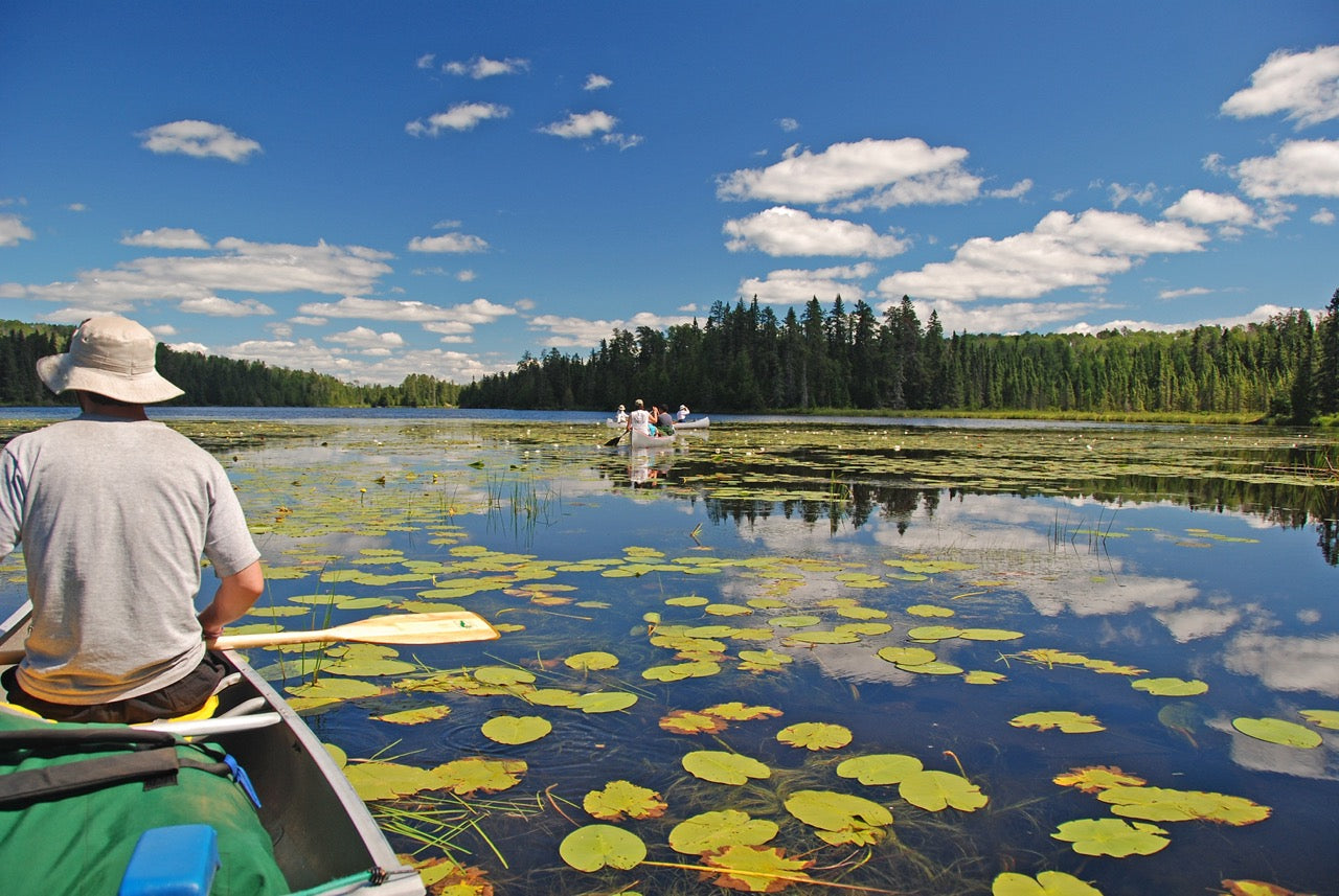
From the Great Lakes to the Canadian Shield, Backroad Maps offers the most trusted outdoor maps for Ontario. Explore top destinations like Cottage Country, Algonquin, and the Northern wilderness with detailed guidebooks, folded maps, wall maps, and GPS maps for every adventure type, such as camping, hiking, paddling, fishing, and hunting.
Choose your Region: Southern Ontario | Cottage Country Ontario | Northeastern Ontario | Northwestern Ontario

 $1995Unit price /Unavailable
-
$1995Unit price /Unavailable
-
$1995Unit price /Unavailable
-
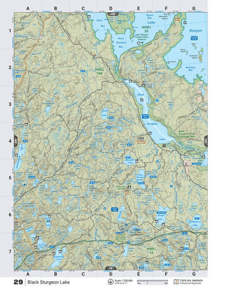
NWON29 TOPO Map - Black Sturgeon Lake
$1995Unit price /Unavailable -
$1995Unit price /Unavailable
-
$1995Unit price /Unavailable
-
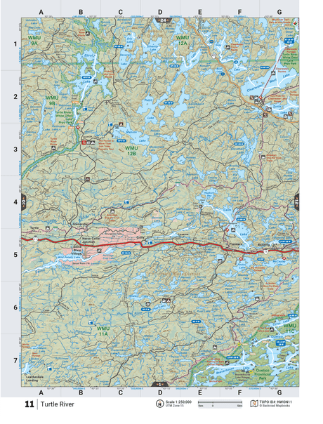
NWON11 TOPO Map - Turtle River
$1995Unit price /Unavailable  $1995Unit price /Unavailable
-
$1995Unit price /Unavailable
-
$1995Unit price /Unavailable
-
$1995Unit price /Unavailable
-
-
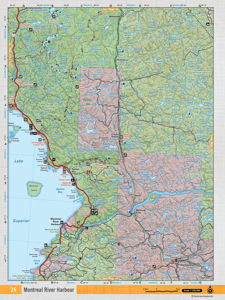
NEON25 TOPO Map - Montreal River Harbour
$1995Unit price /Unavailable -
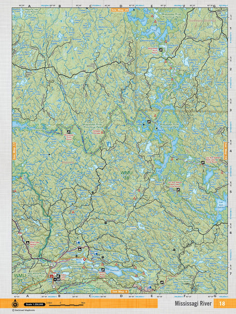
NEON18 TOPO Map - Mississaga River
$1995Unit price /Unavailable -
$1995Unit price /Unavailable