From the Great Lakes to the Canadian Shield, Backroad Maps offers the most trusted outdoor maps for Ontario. Explore top destinations like Cottage Country, Algonquin, and the Northern wilderness with detailed guidebooks, folded maps, wall maps, and GPS maps for every adventure type, such as camping, hiking, paddling, fishing, and hunting.
Choose your Region: Southern Ontario | Cottage Country Ontario | Northeastern Ontario | Northwestern Ontario


-
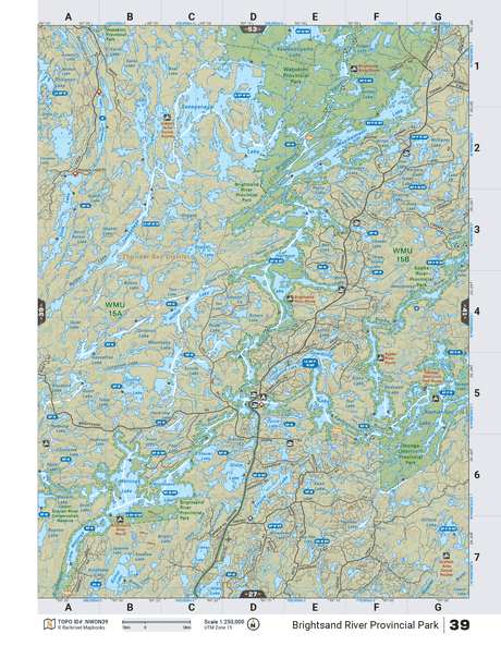
NWON40 TOPO Map - Brightsand River Provincial Park
$1995Unit price /Unavailable -
$1995Unit price /Unavailable
-
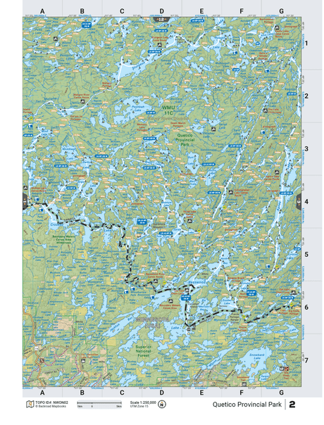
NWON2 TOPO Map - Quetico Provincial Park
$1995Unit price /Unavailable  $1995Unit price /Unavailable
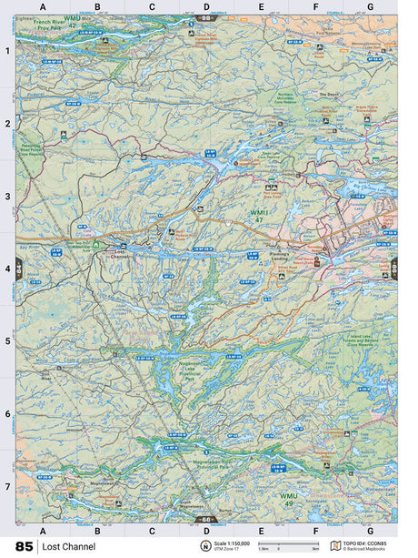
CCON85 TOPO Map - Lost Channel
$1995Unit price /Unavailable-
$1995Unit price /Unavailable

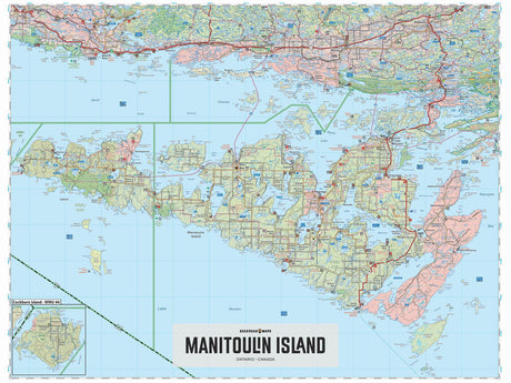
Manitoulin Island ON - Wall Map - Wall Map
From $5995Unit price /Unavailable-
$1995Unit price /Unavailable
-
$1995Unit price /Unavailable
-
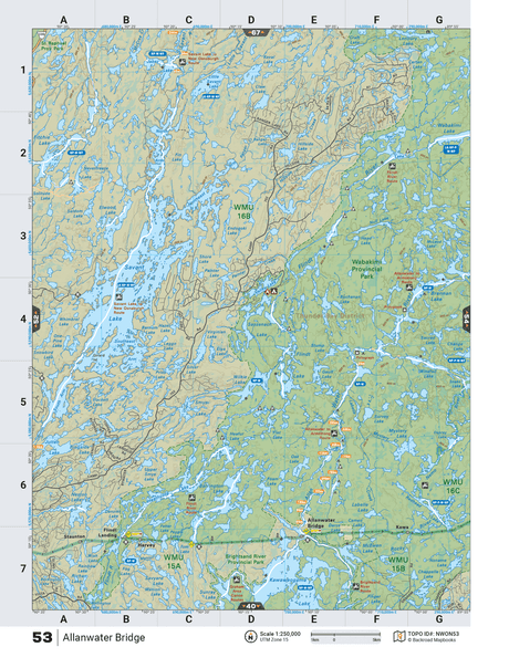
NWON53 TOPO Map - Allanwater Bridge
$1995Unit price /Unavailable -
$1995Unit price /Unavailable
-
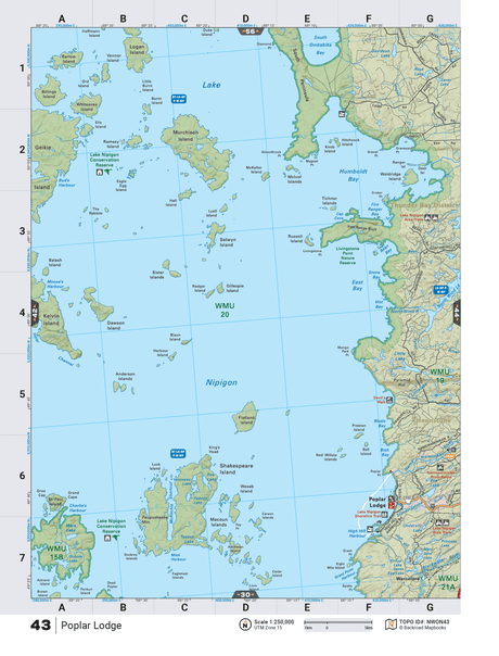
NWON43 TOPO Map - Poplar Lodge
$1995Unit price /Unavailable -
$1995Unit price /Unavailable
-
$1995Unit price /Unavailable