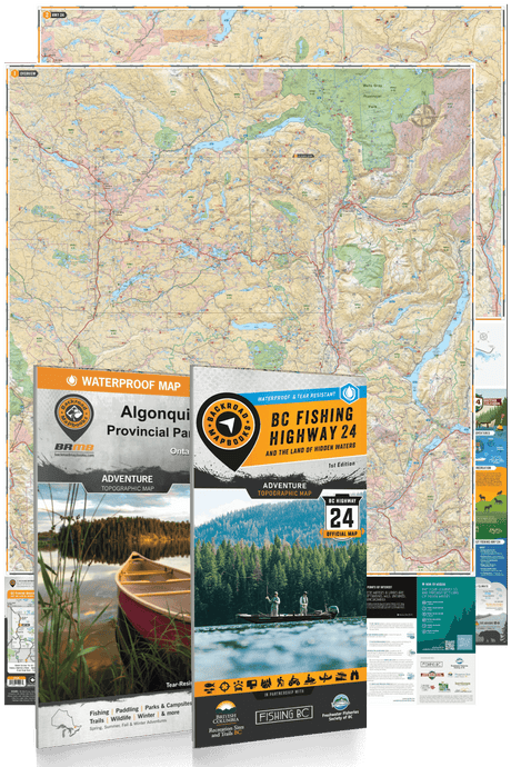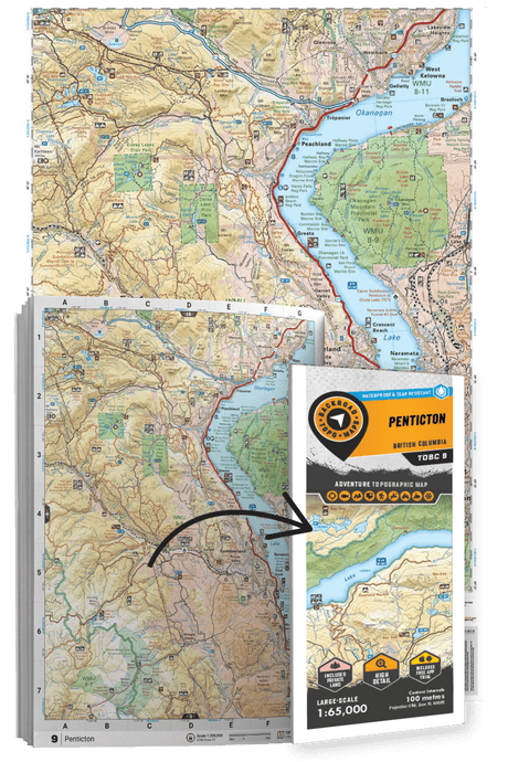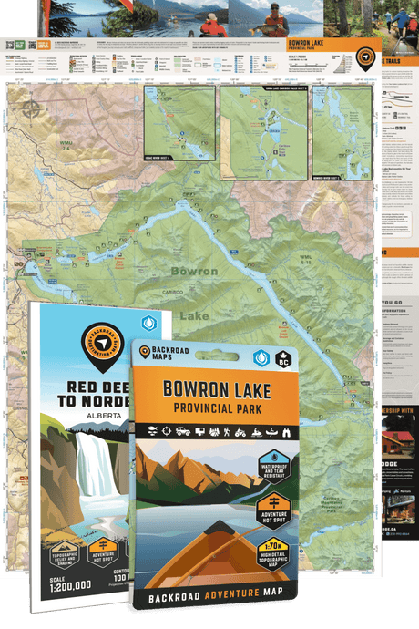
Discover the best outdoor maps for every corner of British Columbia. From the coastal rainforests of Vancouver Island to the rugged peaks of the Kootenay Rockies, Backroad Maps helps you explore BC like a local. Choose from guidebooks, folded maps, wall maps, GPS maps, and our mobile app. Perfect for hiking, camping, fishing, paddling, off-roading, and more.
Choose your BC Region: Vancouver Island | Vancouver, Coast & Mountains | Thompson Okanagan | Cariboo Chilcotin Coast | Kootenay Rockies | Northern BC

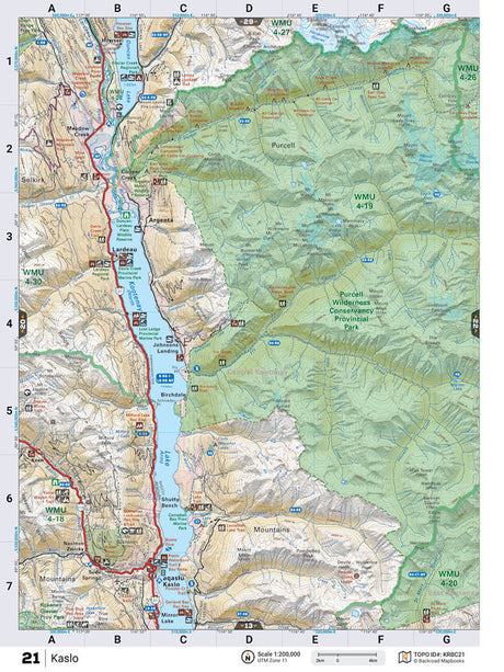
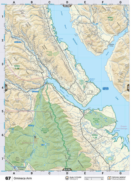
 From $4995Unit price /Unavailable
-
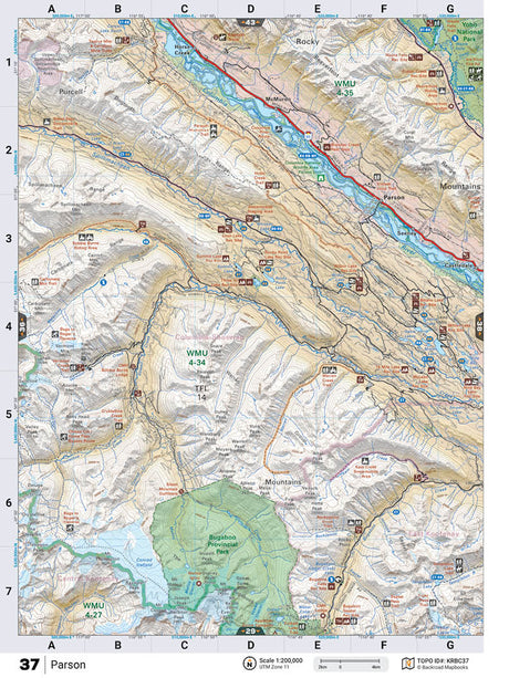
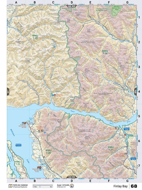
From $4995Unit price /Unavailable
-
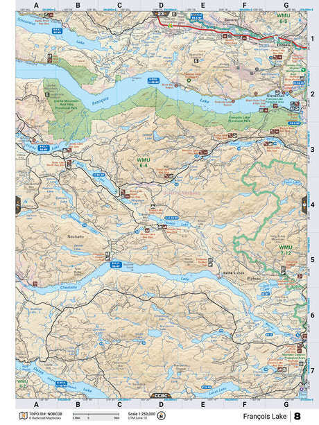
NOBC8 Wall Map - Francois Lake
From $4995Unit price /Unavailable -
From $4995Unit price /Unavailable
-
From $4995Unit price /Unavailable
-
From $4995Unit price /Unavailable
-
From $4995Unit price /Unavailable
-
From $4995Unit price /Unavailable
-
From $4995Unit price /Unavailable
-
From $4995Unit price /Unavailable
-
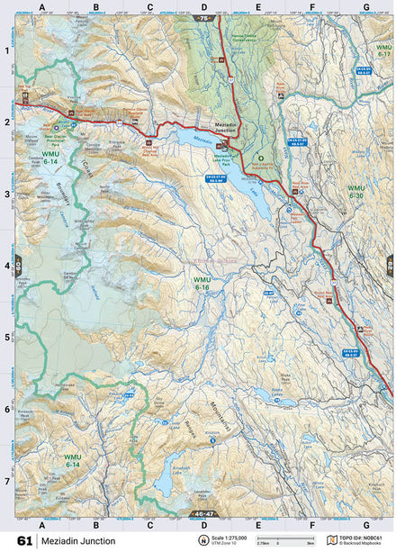
NOBC61 Wall Map - Meziadin Junction
From $4995Unit price /Unavailable -
From $4995Unit price /Unavailable
-
From $4995Unit price /Unavailable
-
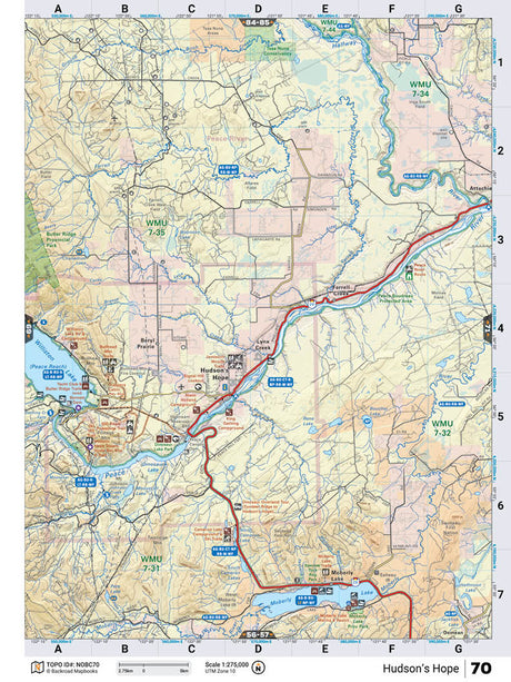
NOBC70 Wall Map - Hudson's Hope
From $4995Unit price /Unavailable -
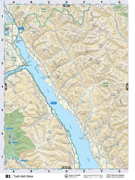
NOBC81 Wall Map - Tseh Keh Dene
From $4995Unit price /Unavailable