Unlock the Outdoors with 25% Off! Ends December 2nd, 2024

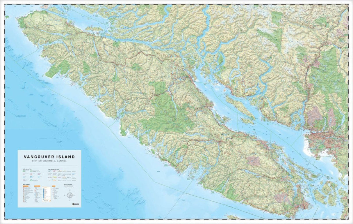
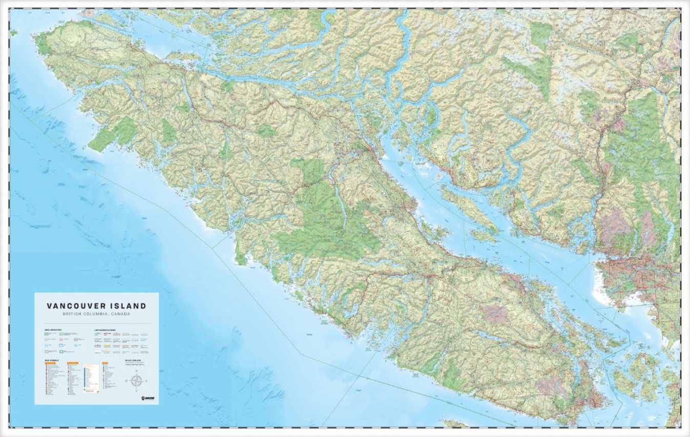
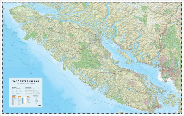
Vancouver Island, BC - Wall Map

Wall Map - 254 x 152 cm (100 x 60 inches)
$37500 $50000

Scale & Dimensions

Map Scale: Created at Single Sided Map @ 1:180,000 scale
Note: In case of multiple options, the actual map scale will vary depending on the wall map size you choose.

Dimensions: 254 x 152 cm (100 x 60 inches)

Area Covered

This map includes Campbell River, Comox, Courtenay, Duncan, Gulf Islands, Gold River, Lake Cowichan, Nanaimo, Parksville, Pemberton, Port Alberni, Port Hardy, Port McNeill, Powell River, Qualicum Beach, Sooke, Squamish, Sunshine Coast, Tofino, Ucluelet, Victoria, Whistler

Map Features

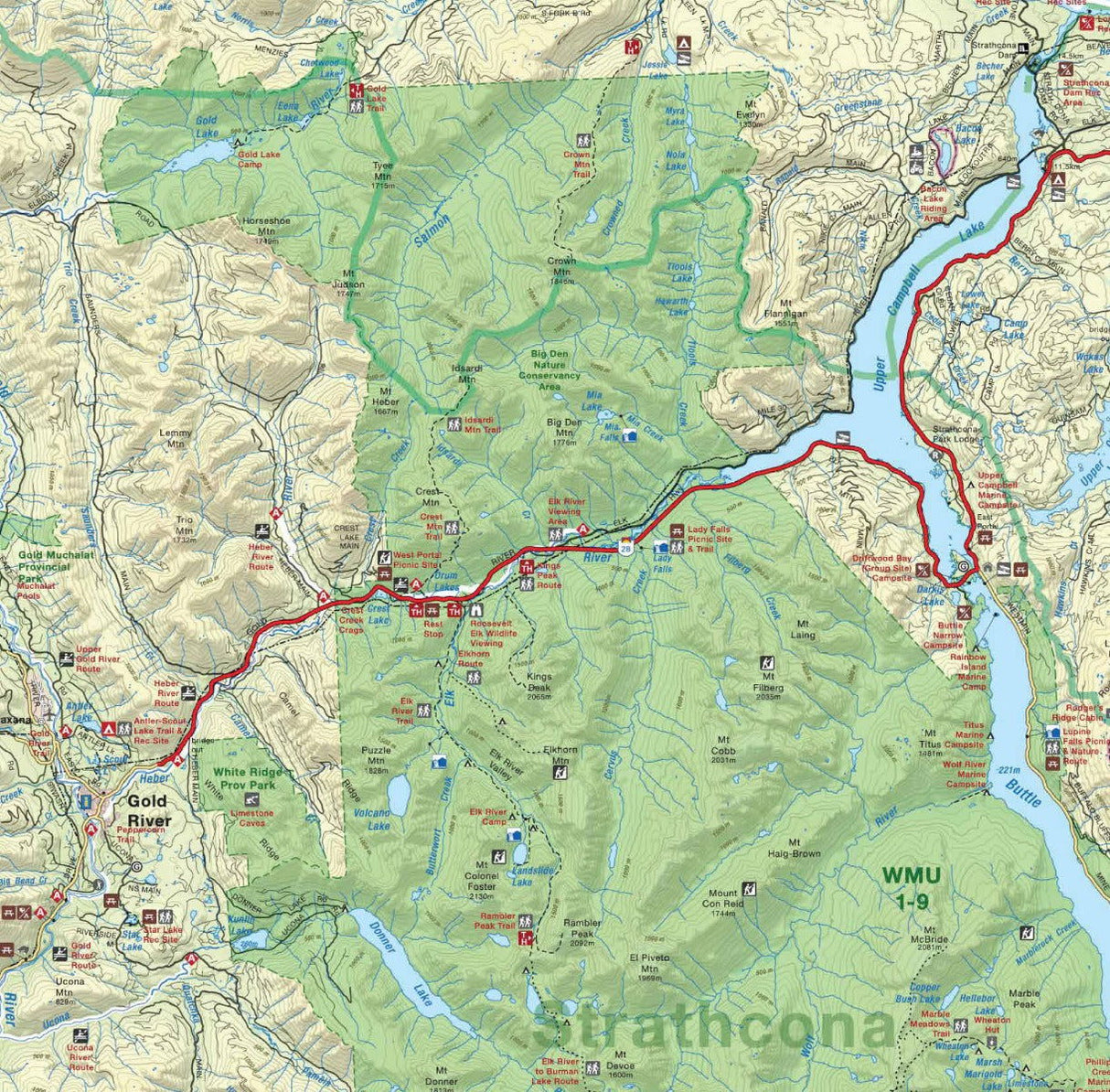
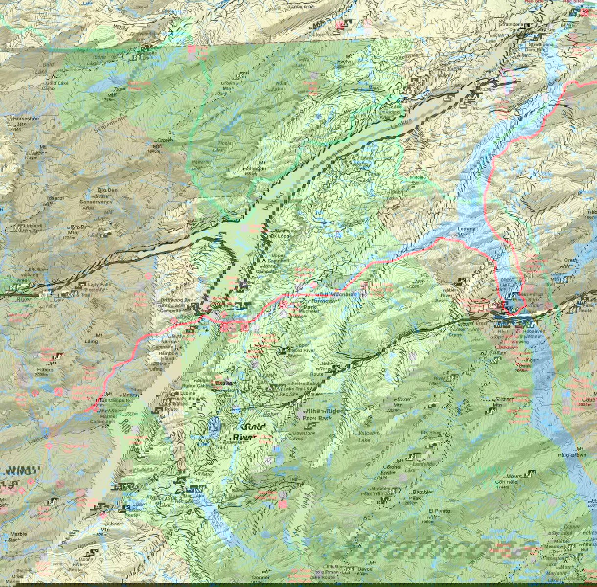
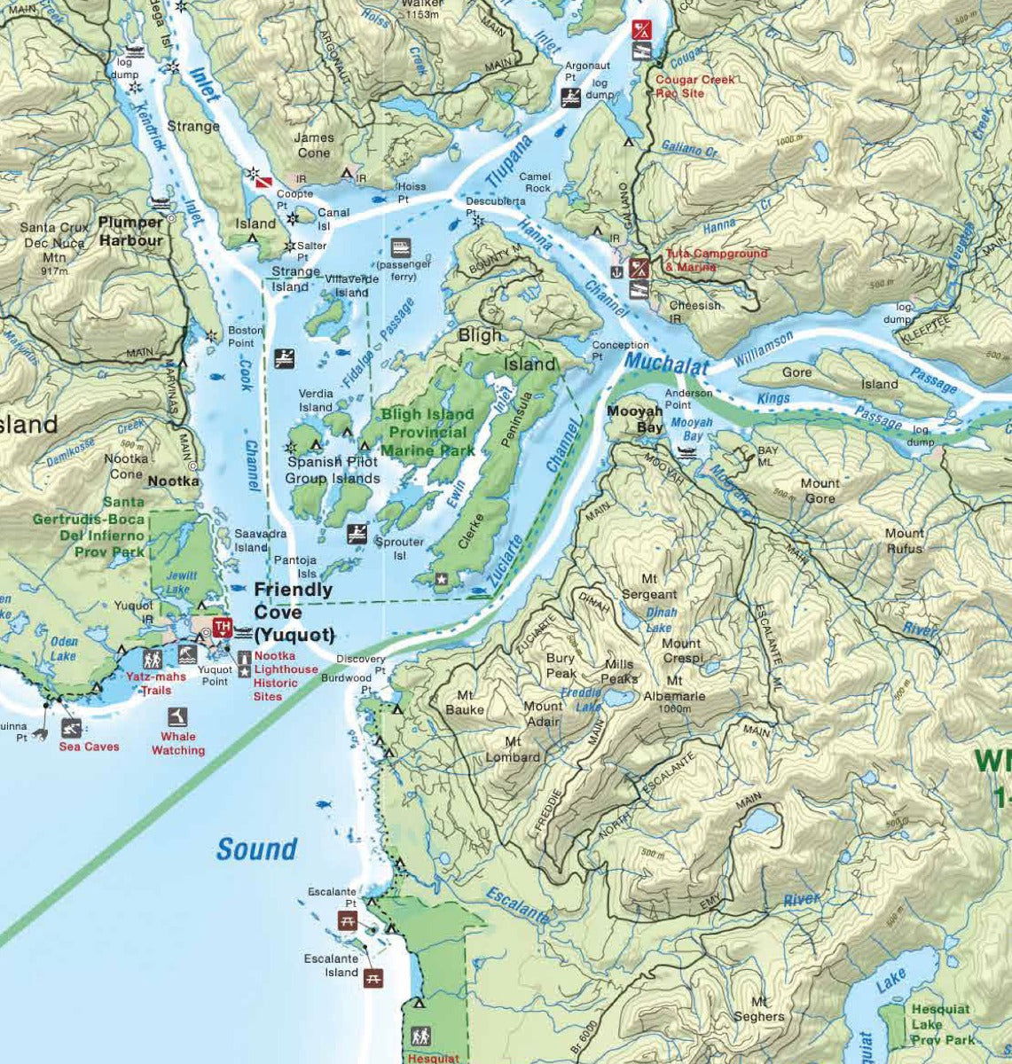
Highways, Logging Roads, Land & Water Features, Parks, Adventure Points of Interest, Campgrounds, Hiking Trails, Motorized Trails, Paddling Routes, Hunting & Fishing Areas, Winter Recreation and more

Description

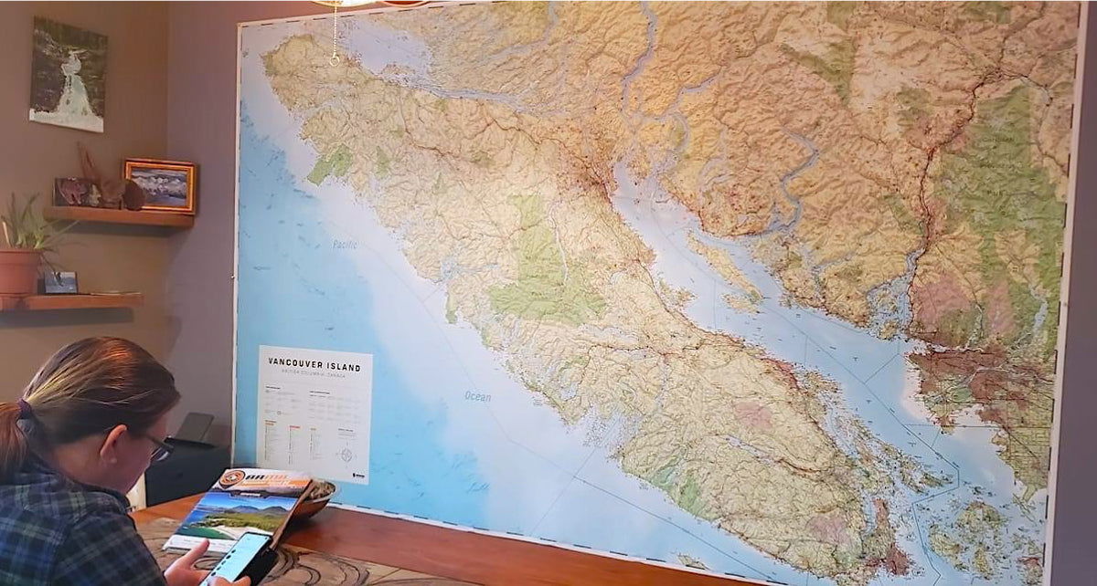
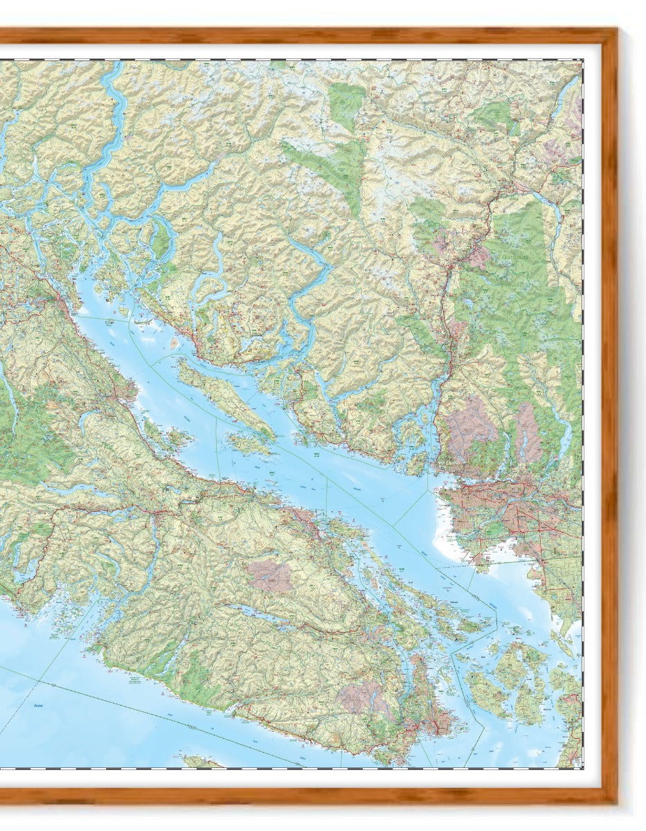
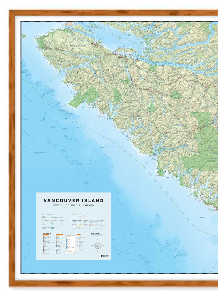
Covering all of Vancouver Island, the Sunshine Coast and Sea to Sky Highway area north to Pemberton, this custom designed map has been created to display nicely on your home, cabin or office wall. The map has been produced using the ever-popular Backroad Mapbook series of maps and showcases this popular area of British Columbia, Canada like never before. Featuring all the roads, trails and recreational hot spots on the Island and Sunshine Coast, this map is meant for large wall areas of at least 8.5 feet by 5 feet (254 x 152 cm). Incorporating Victoria to Port Hardy and Tofino to Campbell River, this map is printed on durable synthetic paper and includes Comox, Courtenay, Duncan, the Gulf Islands, Gold River, Ladysmith, Lake Cowichan, Nanaimo, Parksville, Pemberton, Port Alberni, Port McNeill, Powell River, Qualicum Beach, Sechelt, Sooke, Squamish, Sunshine Coast, Tofino, Ucluelet, Whistler and more!

If you are looking for a smaller area, we can create any size and scale custom map for Vancouver Island. Please call or email requests to info@backroadmapbooks.com.

Wall Map Format

The Wall Map version of this map features a minimal layout to display nicely to fit into common picture frame sizes so you can hang it on the cabin, home or workshop wall.

All maps come printed on waterproof synthetic material for extra durability.

  • Ready to Frame - specially sized to fit standard frame formats (frame not included)
  • Minimal design - these maps make great display pieces for any room
  • All the Adventures - find countless points of interest, paddling routes, hiking trails, campsites, beaches, and more!
  • High Quality - Printed on durable waterproof and tear-resistant material
  • Produced Locally - designed and printed on-demand in Coquitlam, BC - Canada
Vancouver Island, BC - Wall Map - Wall Map

Vancouver Island, BC - Wall Map

$37500 $50000
Covering all of Vancouver Island, the Sunshine Coast and Sea to Sky Highway area north to Pemberton, this custom designed map has been created to display nicely on your home, cabin or office wall. The map has been produced using the ever-popular Backroad Mapbook series of maps and showcases this...

Scale

Single Sided Map @ 1:180,000 scale

Area

Campbell River, Comox, Courtenay, Duncan, Gulf Islands, Gold River, Lake Cowichan, Nanaimo, Parksville, Pemberton, Port Alberni, Port Hardy, Port McNeill, Powell River, Qualicum Beach, Sooke, Squamish, Sunshine Coast, Tofino, Ucluelet, Victoria, Whistler

Dimensions

254 x 152 cm (100 x 60 inches)

Pages

n/a

Release

2021

Features

Highways, Logging Roads, Land & Water Features, Parks, Adventure Points of Interest, Campgrounds, Hiking Trails, Motorized Trails, Paddling Routes, Hunting & Fishing Areas, Winter Recreation and more
View product