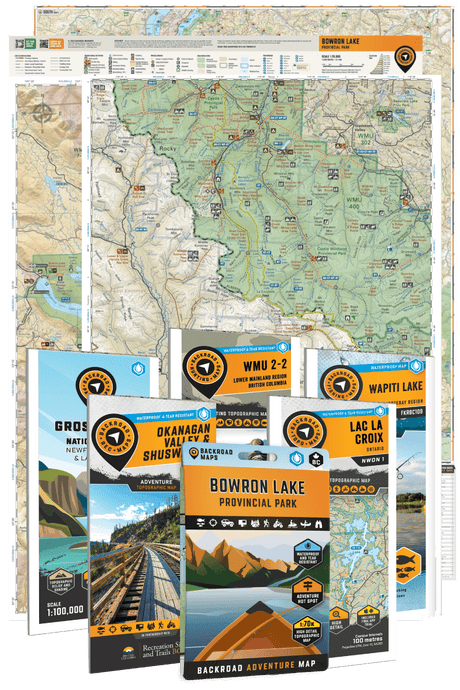
Backroad Mapbooks is pleased to announce that our industry-leading topographic maps for Canada are now available on the Gaia GPS app. Gaia is a user-friendly, versatile map application that combines dozens of map sources and overlays, allowing you to pick and choose which one is best for you. The combination of Gaia’s multitude of online and offline features with Backroad Mapbooks’ map data makes this a must-try for Canadian hikers, bikers, hunters and outdoor explorers of all stripes. Here are a few of the features that you will find on your Backroad Mapbooks maps while using the Gaia GPS app:
Download the Maps and Receive a Discount via Gaiagps.com
Gaia GPS Maps can be easily downloaded free of charge from the Apple App Store or Google Play. Once you have downloaded Gaia, you can upgrade to a premium membership to gain access to the Backroad Mapbooks maps (see link below). You will find the Backroad Mapbooks maps in the Layer tab at the top right corner of your screen. Limited Time Only: Get 10% off Gaia GPS Premium or Outside+. Get access to weather and terrain features, 300+ maps, and offline navigation. Download now.
Canada-wide Coverage
The Backroad Mapbooks map layer covers the entire country from coast to coast, including the northern territories. From the rugged shores of Newfoundland to the surf breaks of Vancouver Island and everywhere in between, you can depend on the most detailed and current topographic data possible.
Backroad Mapbooks Base Map for Gaia GPS
Easy-to-Read Topographic Relief and Shading
The Backroad Mapbooks map layer overlays our award-winning maps onto your Gaia GPS display, providing you with the topographic relief, contours and shading that help make our maps so popular. You will also see familiar map details like named mountain peaks, provincial and park boundaries, roadways and much more. Industry-leading hillshading gives you the clearest and most accurate representation of Canada’s topography available on the market.
Zoomed in view of Harrison Lake, BC area.
More Roads than any Other Map
Backroad Mapbooks’ maps provide you with an unprecedented level of road detail. In addition to highways, secondary highways and rural roads we show you thousands of logging and resource roads, recreation roads, unclassified roads and even deactivated roads. No other map source provides you with this level of road coverage.
Highway and city roads around Kelowna, BC.
Lake Bathymetry
Unique to the Backroad Mapbooks base map is the addition of lake bathymetry (depth contours) for Ontario, Saskatchewan, Alberta, BC and Yukon. This added feature is especially useful for anglers, allowing you to target the deep pools or shallows as the fishing conditions require.
Lake of Two Rivers in Algonquin Provincial Park, Ontario.
Full GPS Capabilities
More than just a set of digital maps, these dynamic mobile maps use your phone's GPS locator to pinpoint your exact location. You can then track your movements and drop waypoints, then share this information with friends once you are in cell or data range. Gaia GPS turns your phone into a fully-functioning GPS device ideal for hiking, hunting, ATVing, mountain biking and more.
Multiple Map Sources
Along with the Backroad Mapbooks map layer, Gaia GPS gives you access to a wide variety of maps from around the world, including topographic maps, road maps, satellite maps and even historic and classic print maps. In Canada, this includes OpenCycleMap HD and the Official National Resources Canada topographic raster maps. |
 |
You can discover all of these features and more by purchasing the Gaia GPS app on iTunes or Google Play. We’re confident that the Backroad Mapbooks base map will help you explore the backcountry with ease and accuracy!