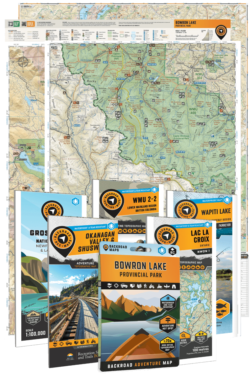
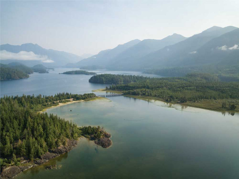
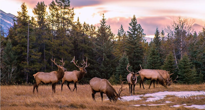
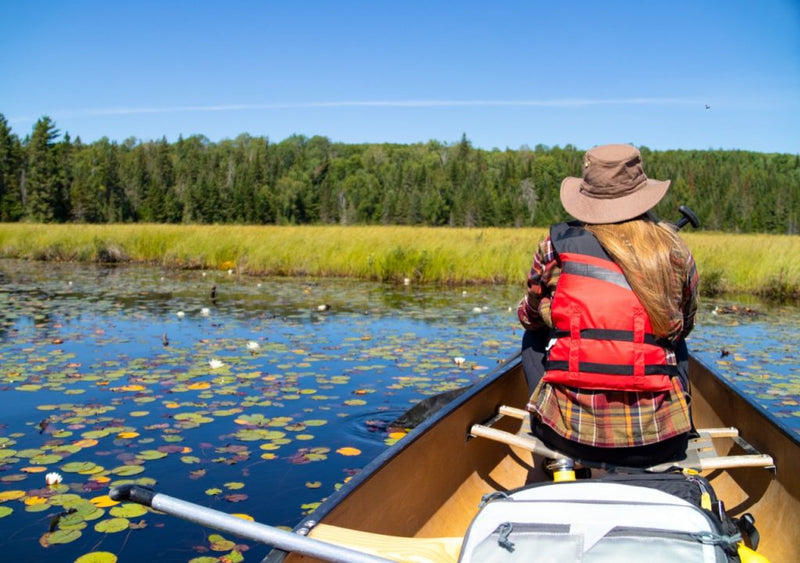
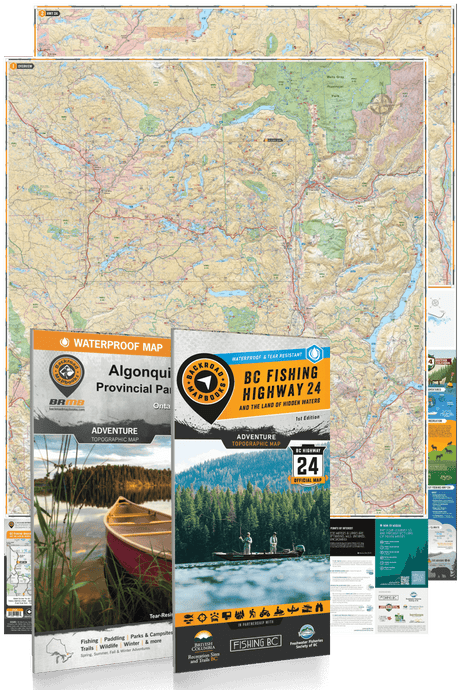
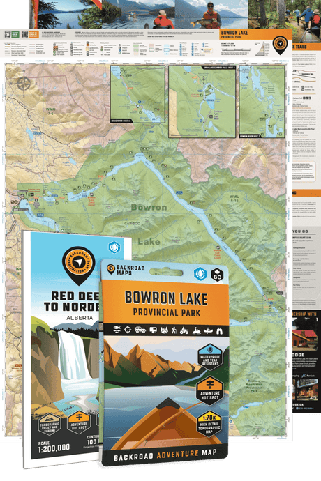
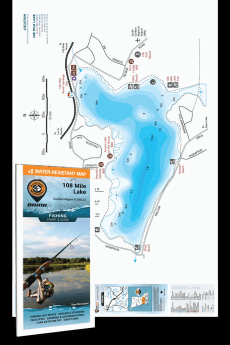
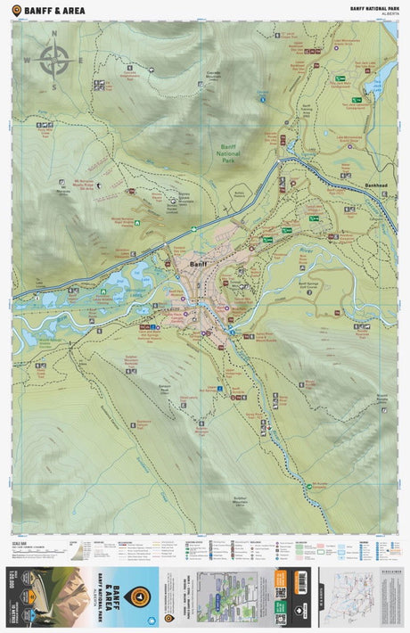
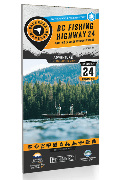
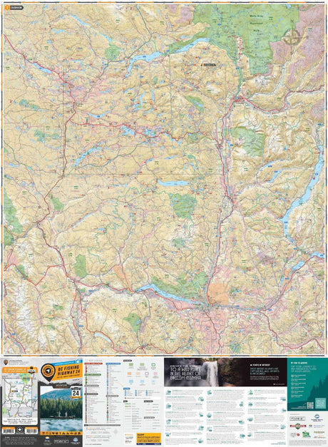
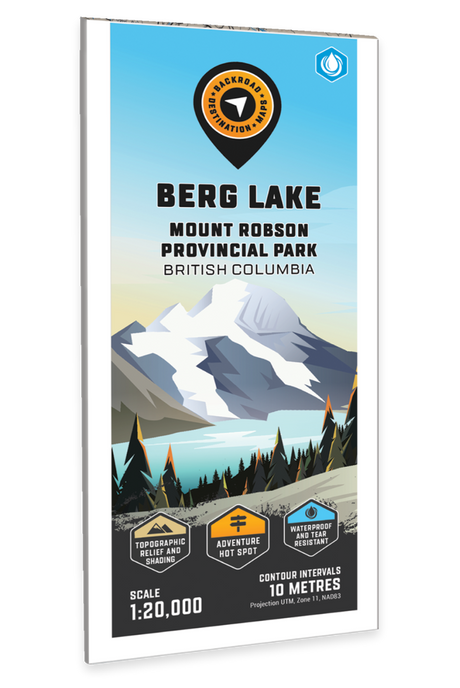
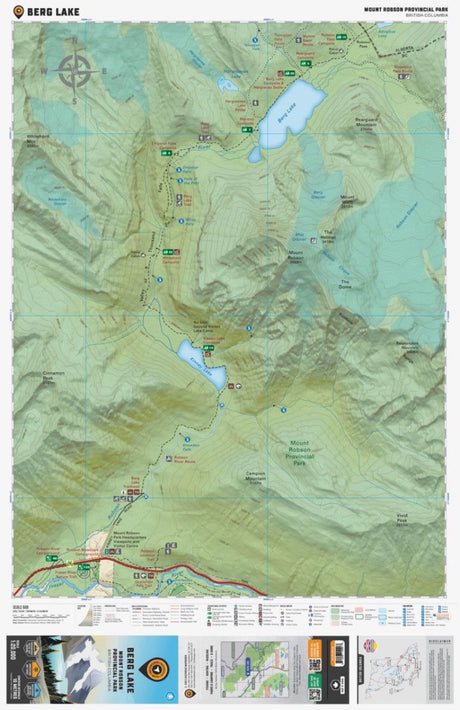
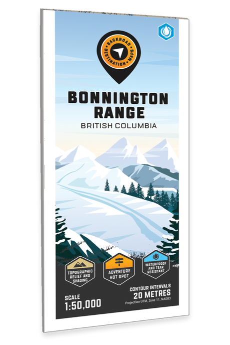
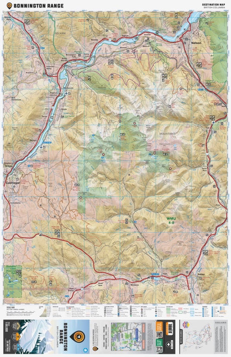
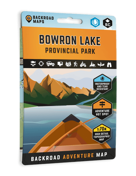
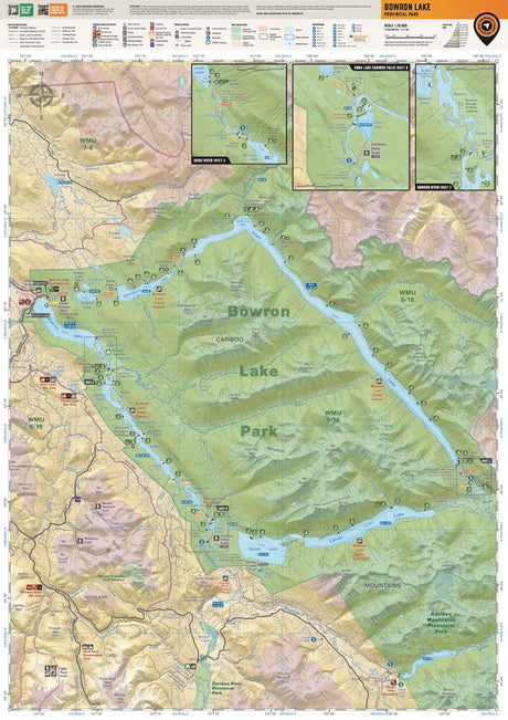
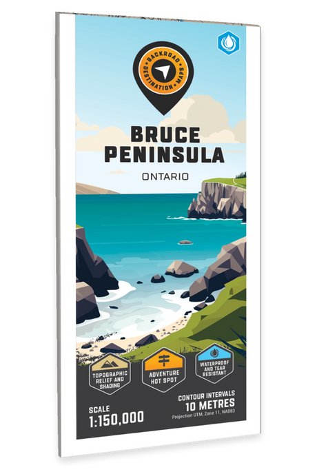
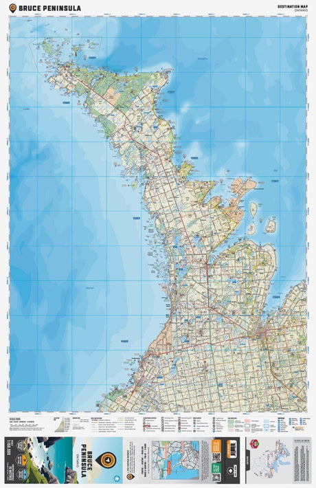
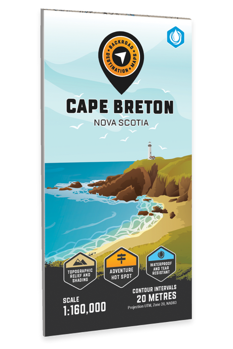
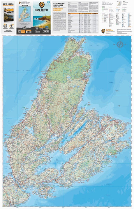
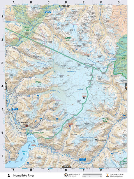
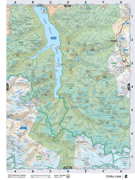
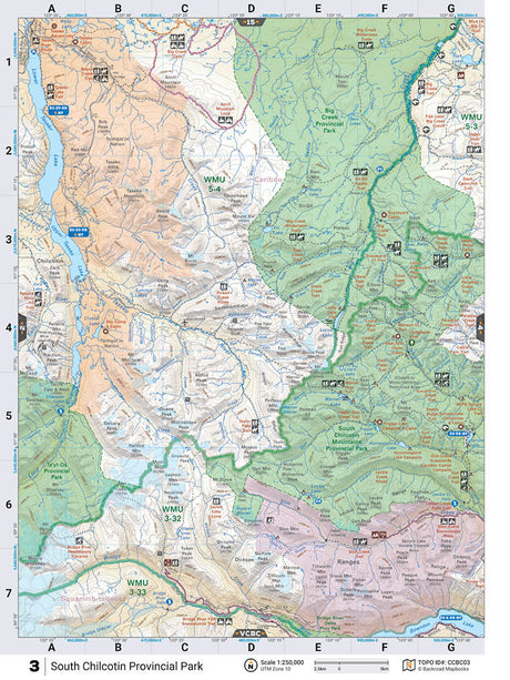
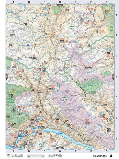
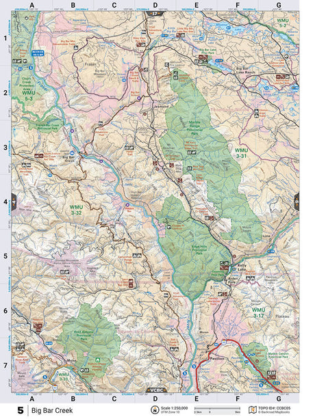
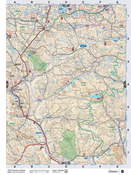
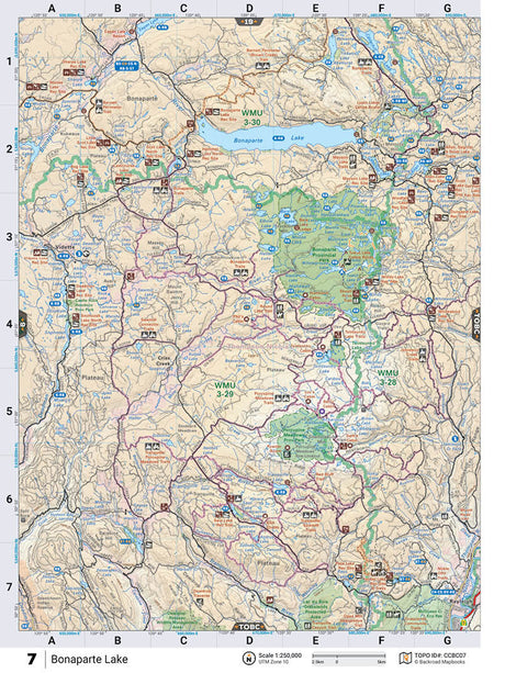
Uncover some of the best outdoor recreation hot spots in Canada and Washington State with the Recreation Maps and Park & Destination Map Series. From Harrison Hot Springs to the historic gold rush trails of the Kootenays, to the mystical sites of Haida Gwaii, BC provides endless opportunities for backcountry adventure. To the east, Ontario contains attractions such as the famous Algonquin Park, and recreation areas like Bobcaygeon and Haliburton. Alberta is packed with beautiful lakes and scenic parks such as Jasper and Banff that provide endless adventure opportunities and wildlife viewing. Down to the south, Washington State provides rustic west coast charm, the scenic San Juan Islands, and the Olympic National Park & Forest.
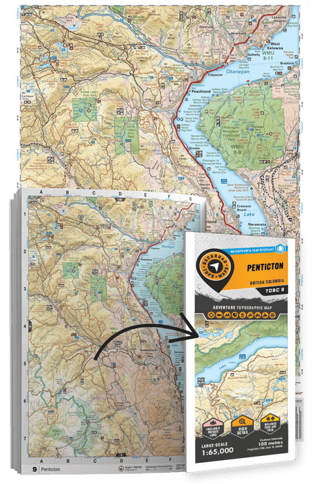
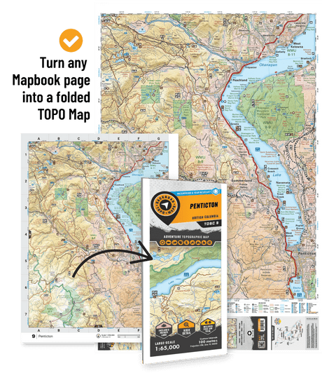
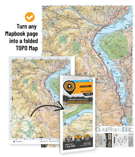
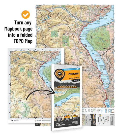
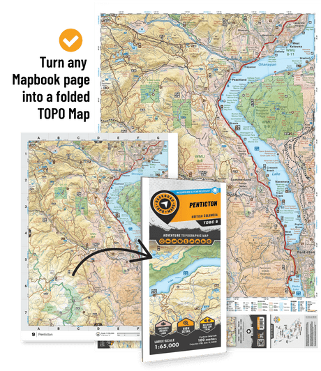
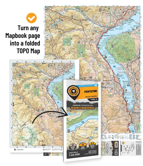
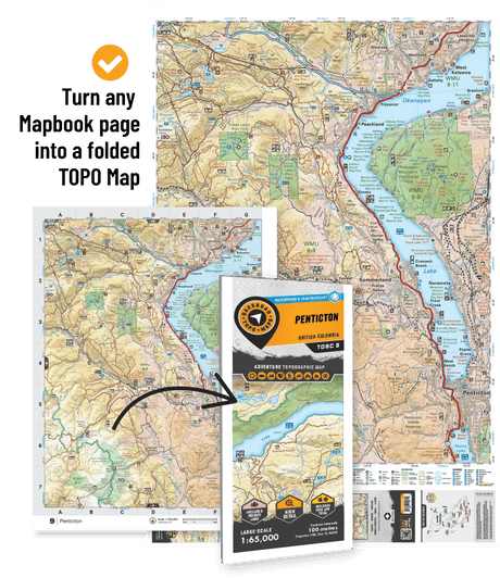
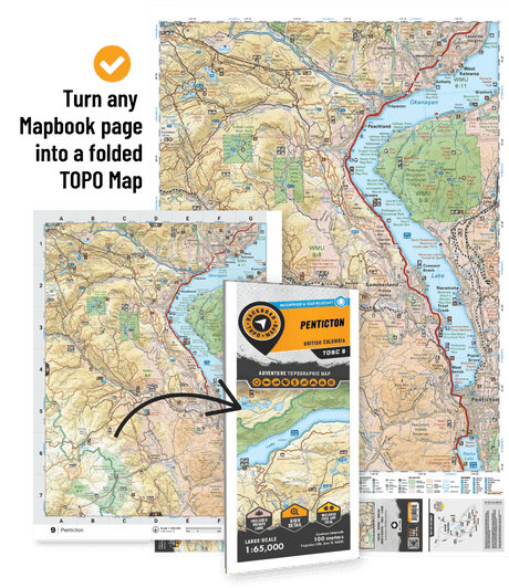
Plus, our Backroad TOPO Maps are the perfect option for outdoor adventurers looking for a more detailed view of a specific area. Choose from over 1500+ available maps across Canada, showing all the natural features, elevation changes, roads and trails, and Adventure Points of Interest. For high-resolution, large-scale coverage of a specific zone, these are the maps of choice for trip planning and navigation.
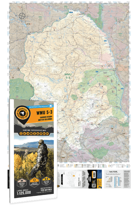
For hunters, our Hunting Maps feature marked Wildlife Management Units, Zones, and Game Hunting Areas, along with updated information on roads, trails, and campsites.
All maps come printed on waterproof synthetic material for extra durability.

