Unlock the Outdoors with 25% Off! Ends December 2nd, 2024

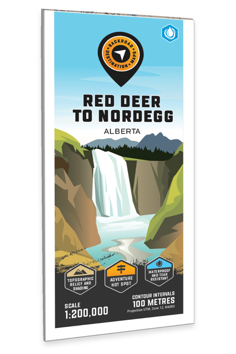
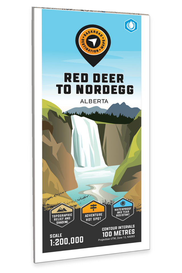
Red Deer to Nordegg, Alberta - Destination Map

Central Alberta 💧 Waterproof Map
$2120 $2495

Barcode: 6-22098-11160-6

Specs

Map Scale: 1:200,000
Release:
2023
Dimensions: 103 x 67 cm / 40.55" x 24" (Folded) OR 48" x 36" (Wall Map)

Area Covered

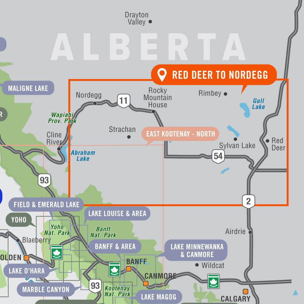
Red Deer, Rocky Mountain House, Caroline, Innisfail, Lacombe, Nordegg, Olds, Sundre, Sylvan Lake, Ya Ha Tinda Ranch, Clearwater River, Crimson Lake Park, Gull Lake, Kitsa/Wilson PLUZ, Ram Falls, Rocky Mountain Foothills, Alberta, Canada

Map Features

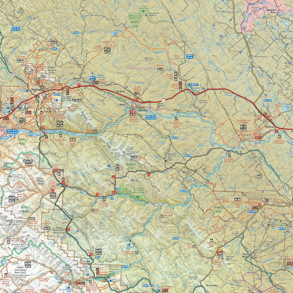
Highways, Logging Roads, Land & Water Features, Parks, Adventure Points of Interest, Campgrounds, Hiking Trails, Motorized Trails, Paddling Routes, Hunting & Fishing Areas, Winter Recreation and More.

Description


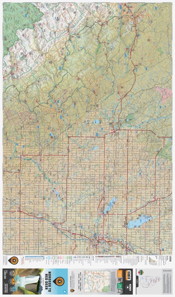
This recreation topographic map for the Rocky Mountain Foothills around Rocky Mountain House and Red Deer highlights all the roads, fishing lakes & streams, front and backcountry campsites, paddling routes for canoeing and kayaking, wildlife viewing areas, multi-use trails for hiking, backcountry skiing, snowshoeing, mountain biking, horseback riding & more. Covering 1,950 km2 (753 mi2) using 1:50,000 scale water and road data, this map measures 38 x 51 km (24 x 32 mi), providing you with more topographic and recreational detail for the Nordegg to Lacombe and Olds area of Alberta than any other map on the market. Special features include private land and countless roads, trails and recreational Points of Interest. Included on this map are Red Deer, Rocky Mountain House, Caroline, Innisfail, Lacombe, Nordegg, Olds, Sundre, Sylvan Lake, Ya Ha Tinda Ranch and more!


The printed version of the map is displayed at 1:200,000 scale on 61 x 103 cm (24 x 40.5") paper. You can choose between having the map printed on regular water-resistant paper or a more durable waterproof synthetic. The Wall Maps have been customized to display nicely and fit into common picture frame sizes so you can hang them on the cabin, home or workshop wall. They are available in three different sizes and come printed on waterproof synthetic material.


Print Features:

  • Printed on regular water-resistant paper or durable waterproof and tear-resistant material
  • Includes industry-leading cartographic detail and state-of-the-art relief shading
  • Countless points of interest, hiking trails, campsites, boat launches, paddling routes and more!
  • Easy to read, large-scale 61 x 103 cm (24 x 40.5") map at 1:200,000 scale
  • Seamless map coverage requires no page turning

Looking for a different area?

Browse our TOPO Maps: Zoom into your province to see the map grid, then click on any of the highlighted areas to select your TOPO Map

Red Deer to Nordegg, Alberta - Adventure Map - Park & Destination Map

Red Deer to Nordegg, Alberta - Destination Map

$2120 $2495
This recreation topographic map for the Rocky Mountain Foothills around Rocky Mountain House and Red Deer highlights all the roads, fishing lakes & streams, front and backcountry campsites, paddling routes for canoeing and kayaking, wildlife viewing areas, multi-use trails for hiking, backcountry skiing, snowshoeing, mountain biking, horseback riding & more....

Scale

1:200,000

Area

Red Deer, Rocky Mountain House, Caroline, Innisfail, Lacombe, Nordegg, Olds, Sundre, Sylvan Lake, Ya Ha Tinda Ranch, Clearwater River, Crimson Lake Park, Gull Lake, Kitsa/Wilson PLUZ, Ram Falls, Rocky Mountain Foothills, Alberta, Canada

Dimensions

103 x 67 cm / 40.55" x 24" (Folded) OR 48" x 36" (Wall Map)

Pages

1

Release

2023

Features

Highways, Logging Roads, Land & Water Features, Parks, Adventure Points of Interest, Campgrounds, Hiking Trails, Motorized Trails, Paddling Routes, Hunting & Fishing Areas, Winter Recreation and More.
View product