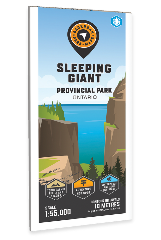
Sleeping Giant Provincial Park Ontario - Park Map

Northwestern Ontario 💧 Waterproof Map
$1995

Barcode: 6-22098-11076-0

Specs

Map Scale: 1:75,000
Release:
2022
Dimensions: 61 x 94 cm (24 x 37 inches)

Area Covered

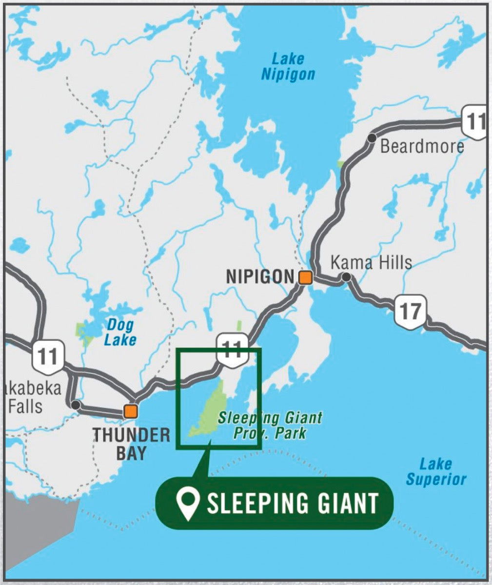
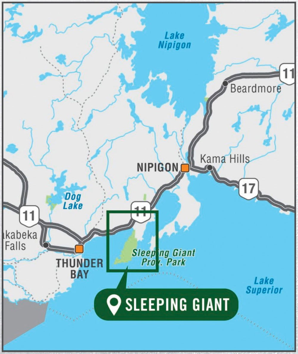
Sleeping Giant Provincial Park, Amethyst Harbour, Caribou Island, Edward Island Nature Reserve, Kabeyun Trail, Marie Louise Lake, Pass Lake, Sawyer Bay, Sea Lion Trail, Sibley Peninsula, Thunder Bay Lookout, Thunder Cape, Top of the Giant, Northern Ontari

Map Features

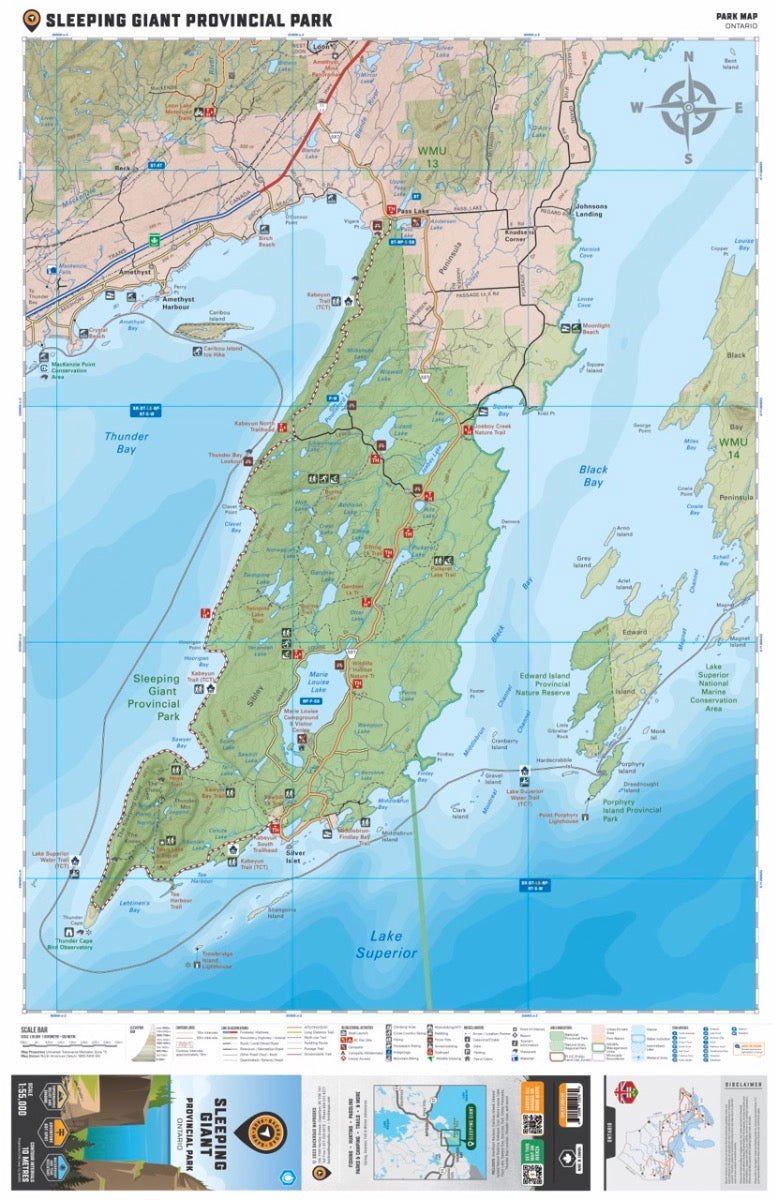
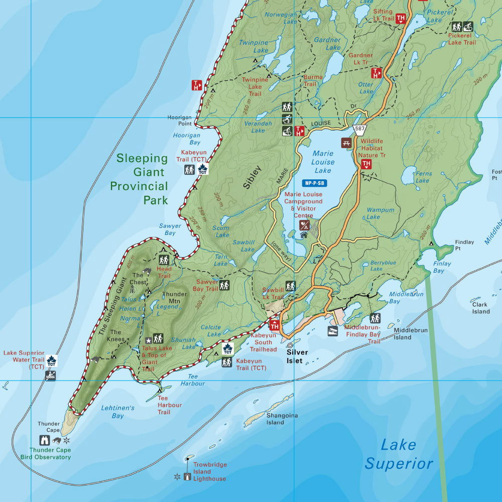
Highways, Logging Roads, Land & Water Features, Parks, Adventure Points of Interest, Campgrounds, Hiking Trails, Motorized Trails, Paddling Routes, Hunting & Fishing Areas, Winter Recreation and More.

Description

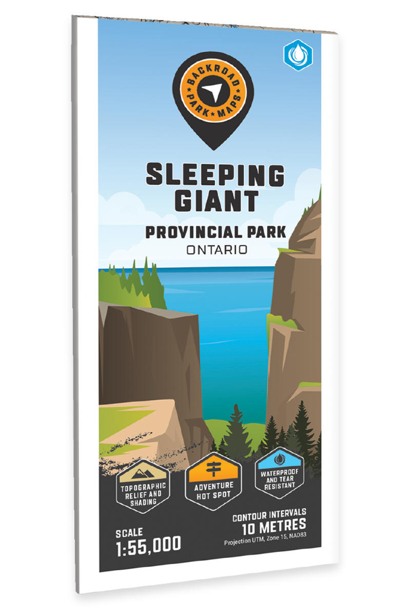
Sleeping Giant Provincial Park Map Ontario

Covering Sleeping Giant Provincial Park in Northern Ontario, this map features the hiking and ski trails, campsites, day use areas, paddling routes, lakes and visitor facilities. Use for hiking, skiing, camping, exploring, fishing, kayaking, wildlife viewing and more. With 1:75,000 water and trail data, no other map for the area provides you with this level of recreational or topographic detail. Covering 1,270 sq. km (490 sq. mi), this map includes Sleeping Giant Provincial Park, Amethyst Harbour, Caribou Island, Edward Island Nature Reserve, Kabeyun Trail, Marie Louise Lake, Pass Lake, Sawyer Bay, Sea Lion Trail, Sibley Peninsula, Thunder Bay Lookout, Thunder Cape, Top of the Giant and more!


The printed version of the map is displayed at 1:75,000 scale on 61 x 94 cm (24 x 37 in) paper on a durable waterproof synthetic material. The Wall Maps have been customized to display nicely and fit into common picture frame sizes so you can hang on the cabin, home or workshop wall. They are available in three different sizes and come printed on the waterproof synthetic material.


Print Features:

  • Printed on durable waterproof and tear-resistant material
  • Includes industry leading cartographic detail and state-of-the-art relief shading
  • Countless points of interest, hiking trails, campsites, boat launches, paddling routes and more!
  • Easy to read, large-scale 61 x 94 cm (24 x 37 in) map at 1:75,000 scale
  • Seamless map coverage requires no page turning

Looking for a different area?

Browse our TOPO Maps: Zoom into your province to see the map grid, then click on any of the highlighted areas to select your TOPO Map

Sleeping Giant Provincial Park Ontario - Park Map - Backroad Maps

Sleeping Giant Provincial Park Ontario - Park Map

$1995
Sleeping Giant Provincial Park Map Ontario Covering Sleeping Giant Provincial Park in Northern Ontario, this map features the hiking and ski trails, campsites, day use areas, paddling routes, lakes and visitor facilities. Use for hiking, skiing, camping, exploring, fishing, kayaking, wildlife viewing and more. With 1:75,000 water and trail data,...

Scale

1:75,000

Area

Sleeping Giant Provincial Park, Amethyst Harbour, Caribou Island, Edward Island Nature Reserve, Kabeyun Trail, Marie Louise Lake, Pass Lake, Sawyer Bay, Sea Lion Trail, Sibley Peninsula, Thunder Bay Lookout, Thunder Cape, Top of the Giant, Northern Ontari

Dimensions

61 x 94 cm (24 x 37 inches)

Pages

1

Release

2022

Features

Highways, Logging Roads, Land & Water Features, Parks, Adventure Points of Interest, Campgrounds, Hiking Trails, Motorized Trails, Paddling Routes, Hunting & Fishing Areas, Winter Recreation and More.
View product