Manitoulin Island ON - Wall Map - Wall Map
Northeastern Ontario
Couldn't load pickup availability
Scale & Dimensions
Scale & Dimensions
Map Scale: Created at
Note: In case of multiple options, the actual map scale will vary depending on the wall map size you choose.
Dimensions: 3 Options Available
Area Covered
Area Covered
This map includes
Map Features
Map Features
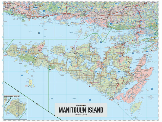
Covering all of Manitoulin Island in northern Ontario, this map features the roads, trails, biking routes, campsites, access points, fish species, hunting boundaries and lakes in the area. Use for canoeing, camping, exploring, fishing, hiking, hunting, kayaking, skiing, wildlife viewing and more. With 1:10,000 water and trail data, no other map for the area provides you with this level of recreational or topographic detail. This 1:175,000 scale printed map includes Manitoulin Island, Barrie Island, Blind River, Cockburn Island, Espanola, Gore Bay, Little Current, Manitowaning, Wikwemikong First Nations, Lake Huron, Lake Manitou, Little Current, Providence Bay and more!
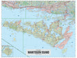
The Wall Map Format
The Wall Map version of this map features a minimal layout to display nicely to fit into common picture frame sizes so you can hang it on the cabin, home or workshop wall.
All maps come printed on waterproof synthetic material for extra durability.