Lake Nipigon ON - Wall Map
Northwestern Ontario
Couldn't load pickup availability
Scale & Dimensions
Scale & Dimensions
Map Scale: Created at
Note: In case of multiple options, the actual map scale will vary depending on the wall map size you choose.
Dimensions: 3 Options Available
Area Covered
Area Covered
This map includes
Map Features
Map Features
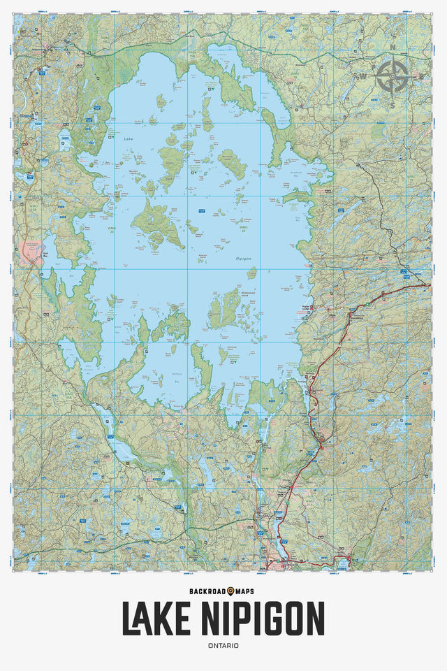
Covering Lake Nipigon, from Nipigon north to Armstrong in northern Ontario, this recreation map features the campsites, fishing lakes and streams, hiking trails, ATV and snowmobile trails, paddling routes, access points and boat launches and countless other visitor facilities. Use for hiking, canoeing, camping, exploring, fishing, kayaking, ATVing, snowmobiling, skiing, wildlife viewing and more. With 1:10,000 water and trail data, no other map for the area provides you with this level of recreational or topographic detail. This map includes Lake Nipigon, Armstrong, Beardmore, Black Sturgeon Lake, Gull Bay, Macdiarmid, Nipigon, North Wind Lake, Pine Portage, Poplar Lodge and more!
The Wall Map Format
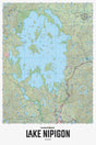
The Wall Map version of this map features a minimal layout to display nicely to fit into common picture frame sizes so you can hang it on the cabin, home or workshop wall.
All maps come printed on waterproof synthetic material for extra durability.