

Lovely Just wish you could
"Lovely Just wish you could offer to laminate it for long term enjoyment"
Couldn't load pickup availability
Map Scale: Created at
Note: In case of multiple options, the actual map scale will vary depending on the wall map size you choose.
Dimensions: 3 Options Available
This map includes
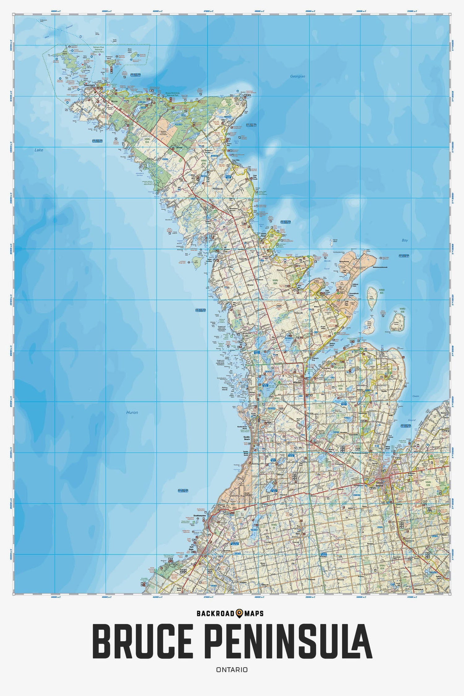
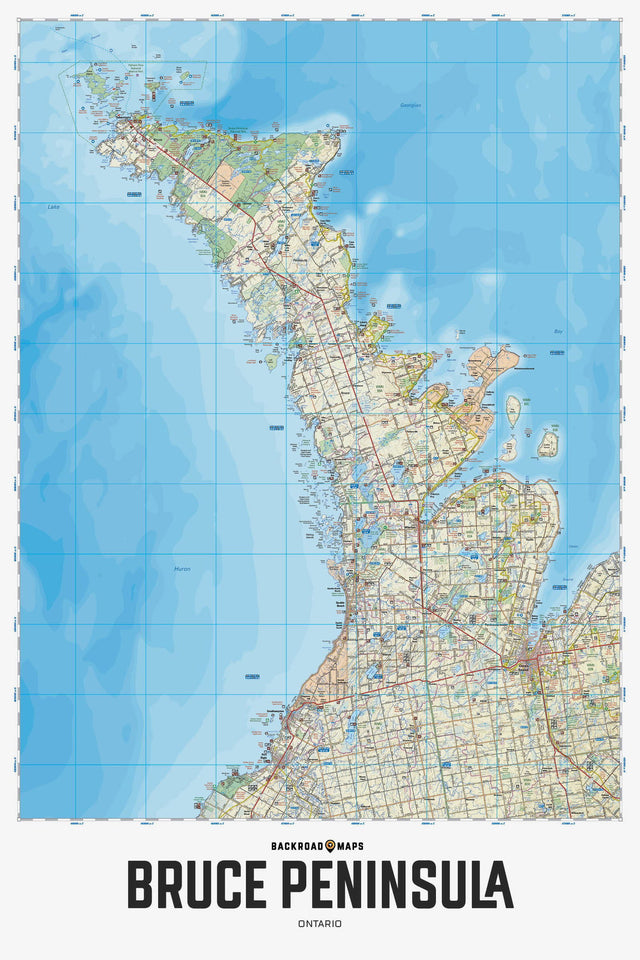
Covering the Bruce Peninsula from Owen Sound north to Tobermory in Southwestern Ontario, this recreation map features the campsites, fishing lakes and streams, hiking trails, ATV and snowmobile trails, paddling routes, access points and boat launches and countless other visitor facilities. Use for hiking, canoeing, camping, exploring, fishing, kayaking, ATVing, snowmobiling, skiing, wildlife viewing and more. With 1:10,000 water and trail data, no other map for the area provides you with this level of recreational or topographic detail. This map includes Bruce Peninsula, Owen Sound, Sauble Beach, Southampton, Tobermory, Wiarton, Bruce Peninsula National Park, Colpey's Bay, Fatom Five National Park, Georgian Bay, Lake Huron, Lion's Head, MacGregor Point Park and more!
The Wall Map version of this map features a minimal layout to display nicely to fit into common picture frame sizes so you can hang it on the cabin, home or workshop wall.
All maps come printed on waterproof synthetic material for extra durability.
Overall rating: 5.0 / 5 from 3 reviews.
Review topics: [].
"Lovely Just wish you could offer to laminate it for long term enjoyment"
"looks great and helps to read the lay of the land in cottage country"
"Good quality map. I have it framed on my wall."
Scale
Area
Dimensions
Pages
Release
Features
Format