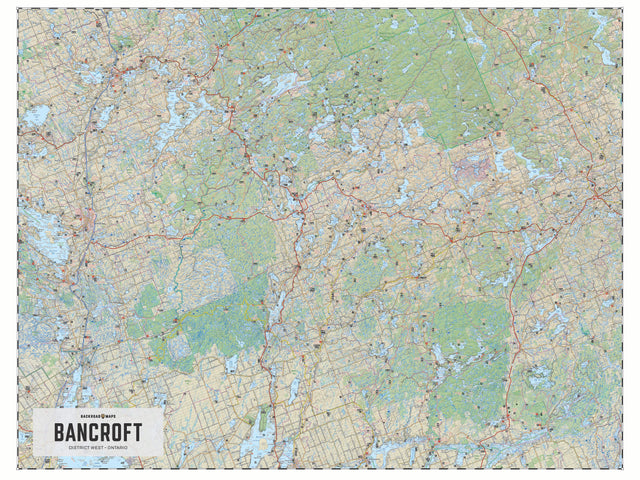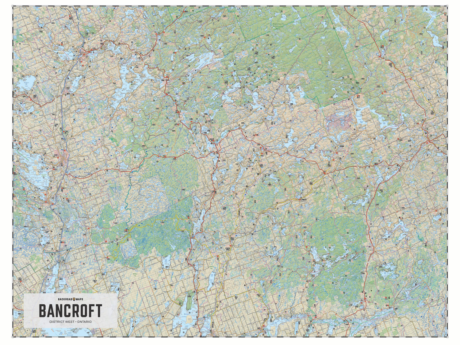
Bancroft District (West) Crown Land Ontario - Wall Map
Cottage Country Ontario
Couldn't load pickup availability
Scale & Dimensions
Scale & Dimensions
Map Scale: Created at
Note: In case of multiple options, the actual map scale will vary depending on the wall map size you choose.
Dimensions: 36" x 27" Wall Map
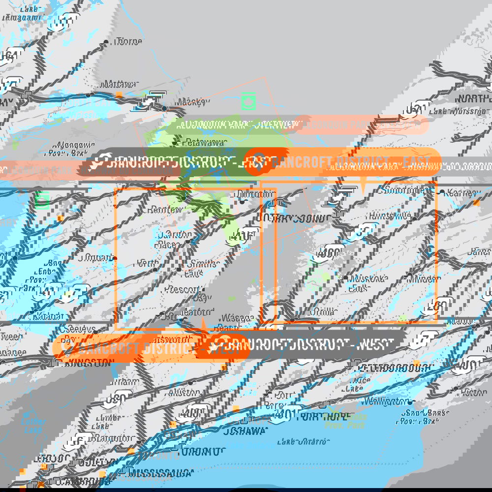
Area Covered
Area Covered
This map includes
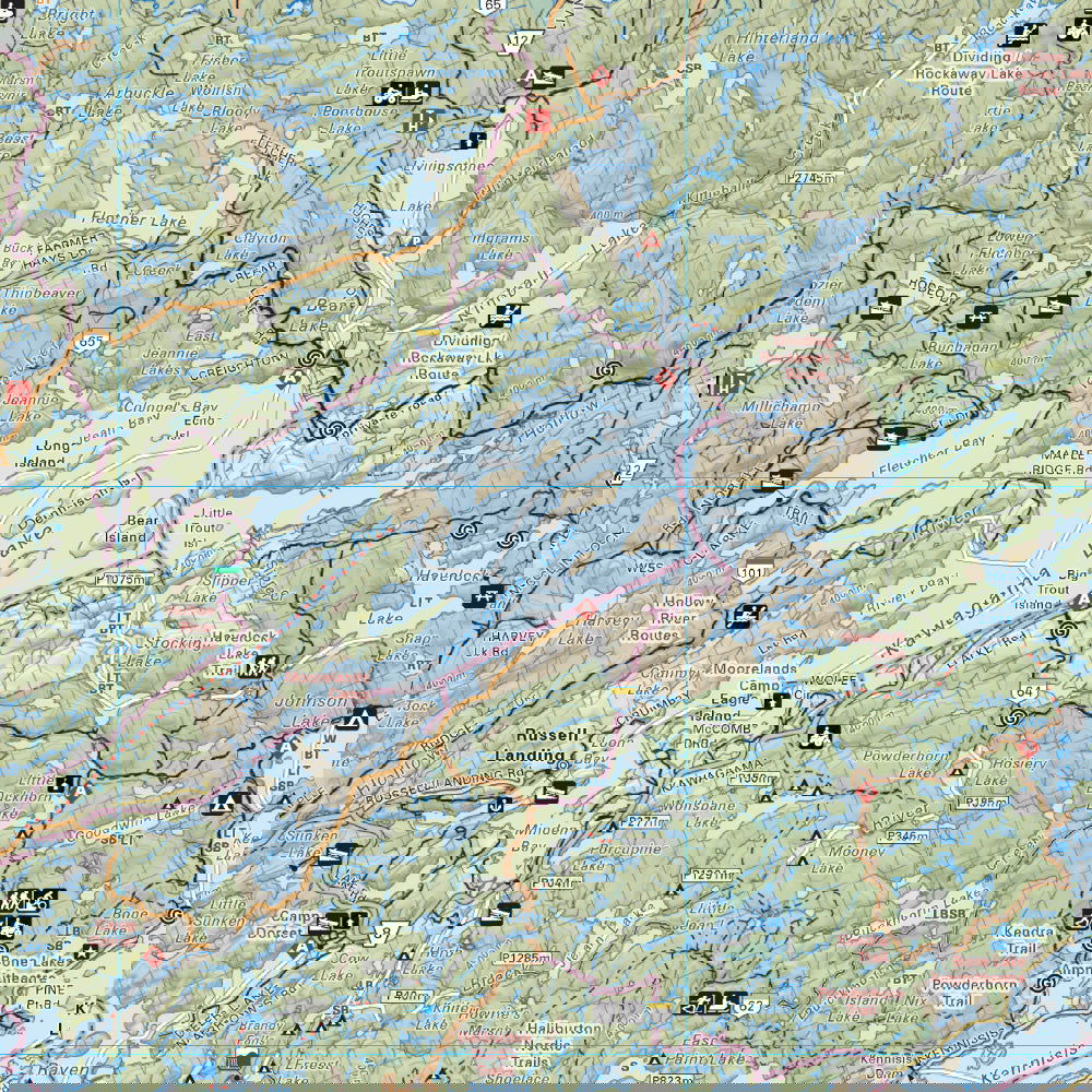
Map Features
Map Features
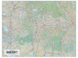
South of Ontario’s famous Algonquin Park lies some of Canada’s most verdant land, in a region known as the Bancroft district in the heart of cottage country. This detailed map includes the West Side of the Bancroft District Crown Land featuring Huntsville, Bracebridge, Gravenhurst, Queen Elizabeth II Wildlands Provincial Park, Muskoka Falls, Norland, Fenelon Falls, Bobcaygeon, Kawartha Highlands Provincial Park, Buckhorn, Gooderham, Haliburton, Minden, Bigwind Lake Provincial Park, Bancroft, Apsley and the backcountry beyond, where people come to play and end up wanting to stay.
Located close enough to Ontario’s metropolises to be easily accessible (Bancroft lies halfway between Toronto and Ottawa), but remote enough to make you feel like you’re lost in a wilderness paradise. Here you will find fishing lakes, forest trails, paddling rivers, beaches for swimming, and some of the most breathtaking scenery in all of Ontario.
The Wall Map Format
The Wall Map version of this map features a minimal layout to display nicely to fit into common picture frame sizes so you can hang it on the cabin, home or workshop wall.
All maps come printed on waterproof synthetic material for extra durability.