Algonquin Provincial Park, ON - Wall Map
Cottage Country Ontario
Couldn't load pickup availability
Scale & Dimensions
Scale & Dimensions
Map Scale: Created at
Note: In case of multiple options, the actual map scale will vary depending on the wall map size you choose.
Dimensions: 2 Options Available
Area Covered
Area Covered
This map includes
Map Features
Map Features
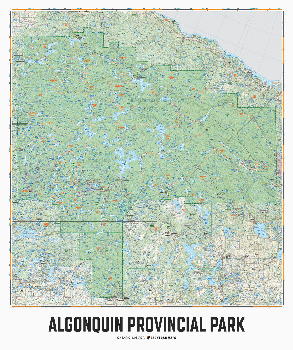
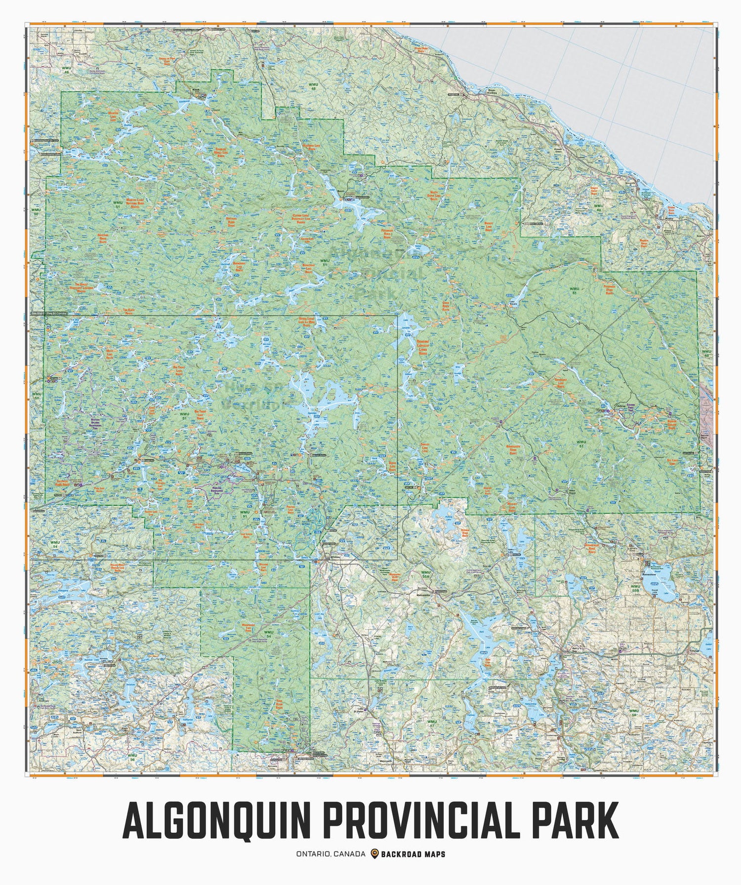
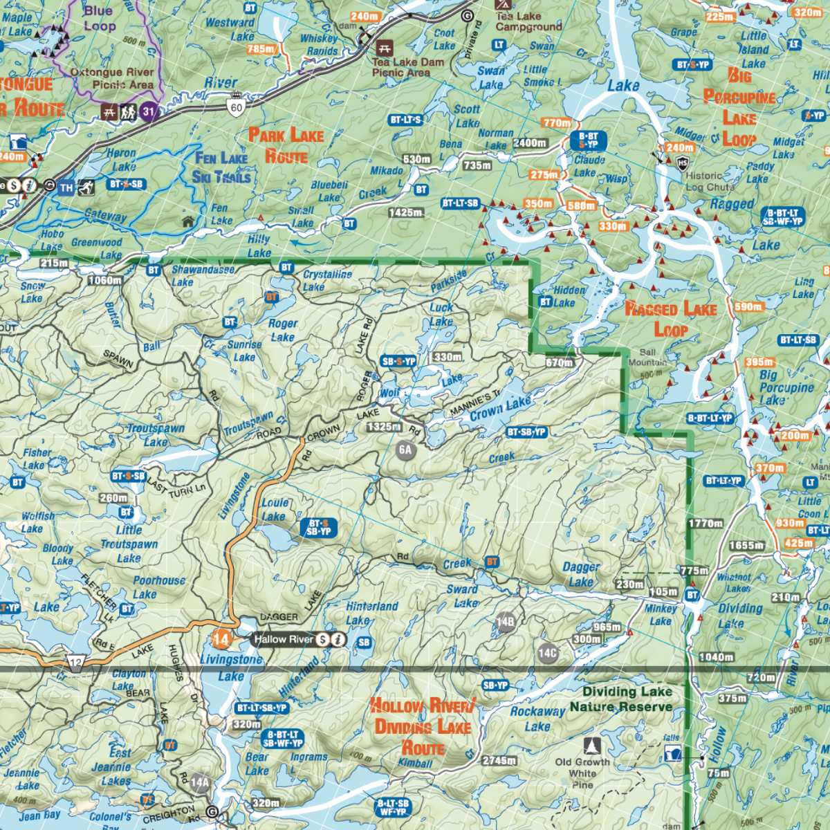
Covering all of Algonquin Provincial Park, this custom-designed map has been created to display nicely on your home, cabin or office wall. The map has been produced using the ever-popular Backroad Mapbook series of maps and showcases this popular area of Ontario, Canada like never before. Featuring all the access roads, campsites, fishing lakes, paddling routes and trails in Algonquin, this map has been modified to fit nicely into common picture frame sizes. Printed on a durable synthetic material, the map includes Achray, Algonquin Provincial Park, Barron Canyon, Barry's Bay, Basin Depot, Brent, East Gate, Highway 60 Corridor, Kingscote, Kiosk, Madawaska, West Gate, Whitney and more!
Two formats available:
- Wall Map 36" x 43" @ 1:140,000 Scale
- Wall Map 55" x 60" @ 1:100,000 Scale
Alternate sizes and scales are available in the Map Size drop-down. It is even possible to customize the map with your own features. Please call or email requests to info@backroadmapbooks.com.
The Wall Map Format
The Wall Map version of this map features a minimal layout to display nicely to fit into common picture frame sizes so you can hang it on the cabin, home or workshop wall.
All maps come printed on waterproof synthetic material for extra durability.


