WMU 1C Hunting Bundle - Northern Ontario (12 maps)
$17900
Unit price
/
Unavailable
Description
Description
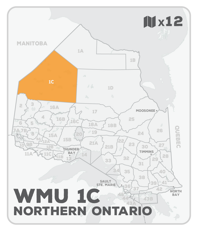
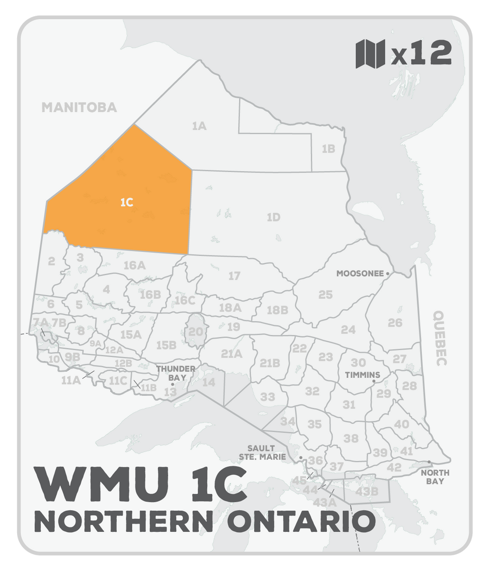
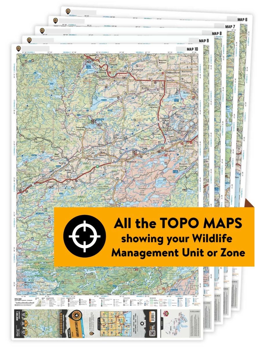
This hunting map bundle includes 12 individual topographic maps covering this zone. Printed at a 1:165,000-1:330,000 scale, these maps feature clearly marked Wildlife Management Units, along with private and crown land areas and motorized and hunting-restricted areas. Updated road and trail systems, recreational points of interest, campsites, fish species and more make these the most detailed hunting maps available on the market.
Accessed from Highway 808, which is the Northern Ontario Resource Road leading to Weagamow Lake, WMU 1C is the only northern Wildlife Management Unit with any type of road access. Bounded by the Manitoba border to the west, WMU 1A to the north, WMU 1D to the east, and portions of the Berens River to the south, this unit is home to numerous large lakes, including Big Trout Lake, Sandy Lake, Weagamow Lake, and Opasquia Provincial Park. Fly-in locations can also be found in the communities of Bearskin Lake, North Spirit Lake, Sachigo Lake, and Weagamow Lake. Like the other northern units, this area is rich with bear, deer, and moose, along with waterfowl and small game birds.
This hunting map bundle includes the Backroad TOPO maps NWON 74, 75, 76, 77, 78, 81, 82, 83, 84, 85, 88, and 89.