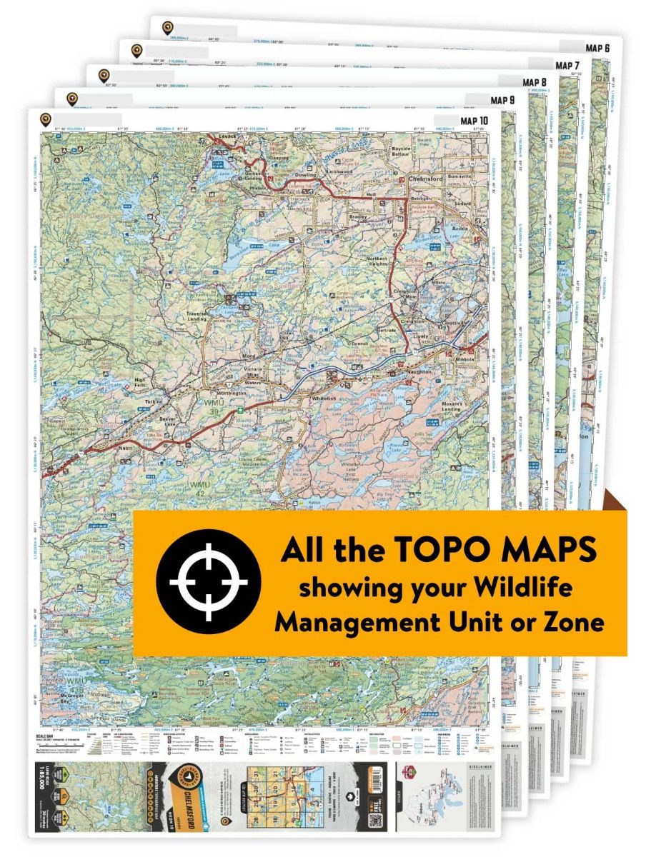
WMU 12A Hunting Bundle - Northern Ontario (7 maps)

Northern Ontario 💧 Waterproof Map
$11500

Specs

Map Scale: 7 maps @ 1:85,000
Release:
2020
Dimensions: 61 x 94 cm/24 x 37 inches

Area Covered

Ignace, English River, Martin, Old Man Lake, Raleigh, Scotch Lake, Turtle River Prov Park, White Otter Lake, Northern Ontario

Map Features

This map includes clearly defined hunting area boundaries including Wildlife Management Units, Wildlife Management Zones, Game Hunting Areas and others. Unparalleled road and trail coverage provides you with the best possible access into your hunting area, and clearly defined natural features and elevation contours give you an excellent lay of the land. Adding to the mix is Private/Crown land areas in most provinces to help identify where you can hunt.

Description

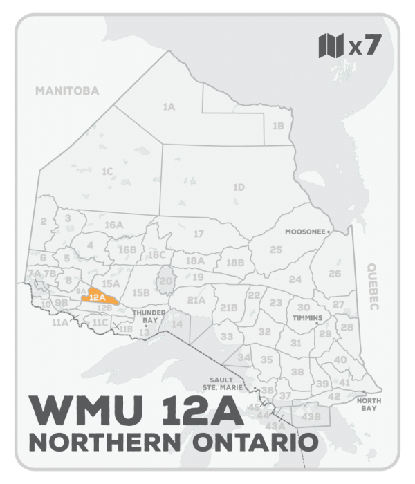
This hunting map bundle includes seven individual topographic maps covering this zone. Printed at a 1:85,000 scale, these waterproof maps feature clearly marked Wildlife Management Units, along with Crown land areas, parks and game preserves. Updated road and trail systems, recreational points of interest, campsites and more make these the most detailed hunting maps available on the market. WMU 12A is found south of Ignace and English River, with Highway 17 forming the northern boundary and the Turtle River the western boundary.


This hunting map bundle is available in print and includes BRMB TOPO maps NWON 11, 12, 13, 14, 24, 25 and 26. The digital or downloadable version is available through the Avenza Maps app and includes these same topographic maps that can be viewed and tracked on your phone or tablet when exploring the entire hunting area.

Looking for a different area?

Browse our TOPO Maps: Zoom into your province to see the map grid, then click on any of the highlighted areas to select your TOPO Map

WMU 12A Hunting Bundle - Northern Ontario (7 maps) - Hunting Bundle

WMU 12A Hunting Bundle - Northern Ontario (7 maps)

$11500
This hunting map bundle includes seven individual topographic maps covering this zone. Printed at a 1:85,000 scale, these waterproof maps feature clearly marked Wildlife Management Units, along with Crown land areas, parks and game preserves. Updated road and trail systems, recreational points of interest, campsites and more make these the...

Scale

7 maps @ 1:85,000

Area

Ignace, English River, Martin, Old Man Lake, Raleigh, Scotch Lake, Turtle River Prov Park, White Otter Lake, Northern Ontario

Dimensions

61 x 94 cm/24 x 37 inches

Pages

n/a

Release

2020

Features

This map includes clearly defined hunting area boundaries including Wildlife Management Units, Wildlife Management Zones, Game Hunting Areas and others. Unparalleled road and trail coverage provides you with the best possible access into your hunting area, and clearly defined natural features and elevation contours give you an excellent lay of the land. Adding to the mix is Private/Crown land areas in most provinces to help identify where you can hunt.
View product