Loading...
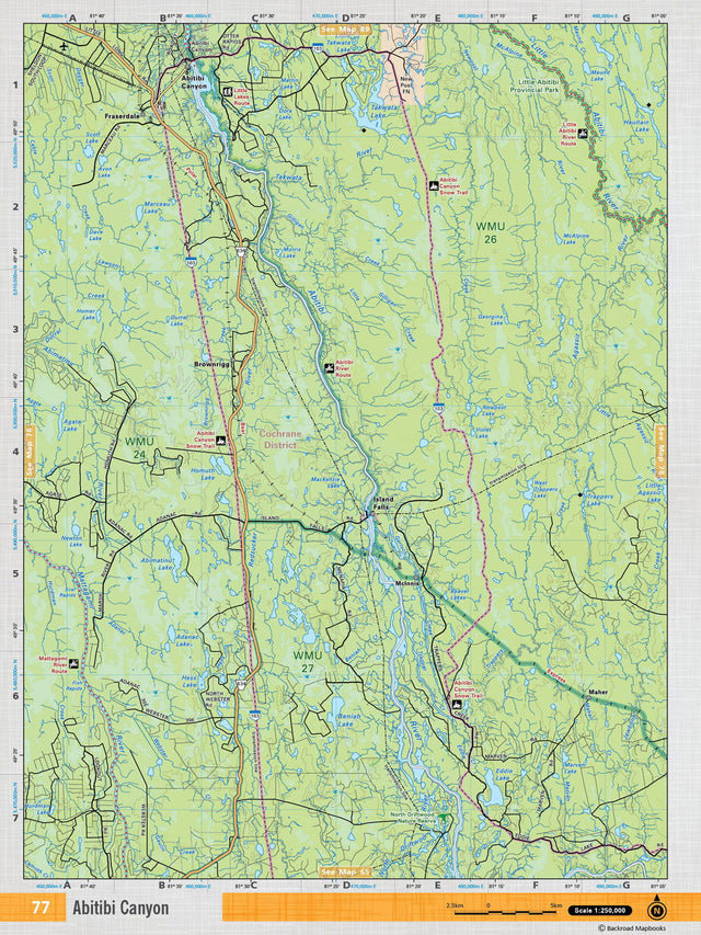
NEON77 Wall Map - Abitibi Canyon
Northeastern Ontario
$4995
Unit price
/
Unavailable
Couldn't load pickup availability
Scale & Dimensions
Scale & Dimensions
Map Scale: Created at
Note: In case of multiple options, the actual map scale will vary depending on the wall map size you choose.
Dimensions: 61 x 94 cm/24 x 37 inches
Area Covered
Area Covered
This map includes
Map Features
Map Features

Abitibi Canyon - Northeastern Ontario TOPO comes printed on waterproof synthetic material for extra durability.
The Wall Map Format
The Wall Map version of this map features a minimal layout to display nicely to fit into common picture frame sizes so you can hang it on the cabin, home or workshop wall.
All maps come printed on waterproof synthetic material for extra durability.