BOXING DAY SALE: Get 15% Off Mapbooks, Garmin GPS Maps, Folded Maps and Wall Maps Learn more

HOLIDAYS DEAL get 25% the BRMB Maps PRO Subscription Learn more

WMU 160 Hand Hills - Hunting Topo Alberta

Prairie WMU Seasons (100 Series & 732) 💧 Waterproof Map
$1695 $1995

Specs

Map Scale: Single-side @1:125,000
Release:
2025
Dimensions: 61 x 91 cm/24 x 36 inches

Area Covered

Drumheller, Hanna, Delia, Finnegan, Homestead Coulee, Michichi, Munnson, Willow Creek, Coleman Lake, Hand Hills Lake, Little Fish Lake, Red Deer River, Starland County, Southern Alberta, WMU 160 Hand Hills

Map Features

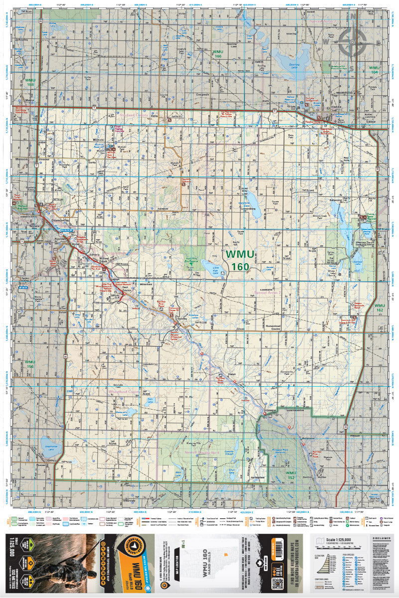
This map includes clearly defined hunting area boundaries including Wildlife Management Units, Wildlife Management Zones, Game Hunting Areas and others. Unparalleled road and trail coverage provides you with the best possible access into your hunting area, and clearly defined natural features and elevation contours give you an excellent lay of the land. Adding to the mix is Private/Crown land areas in most provinces to help identify where you can hunt.

Description

WMU 160 Hand Hills - Hunting Topo Alberta

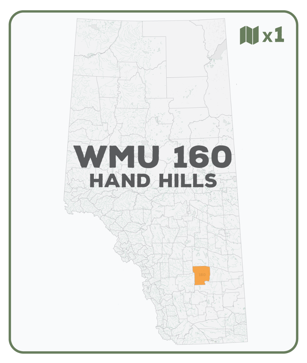
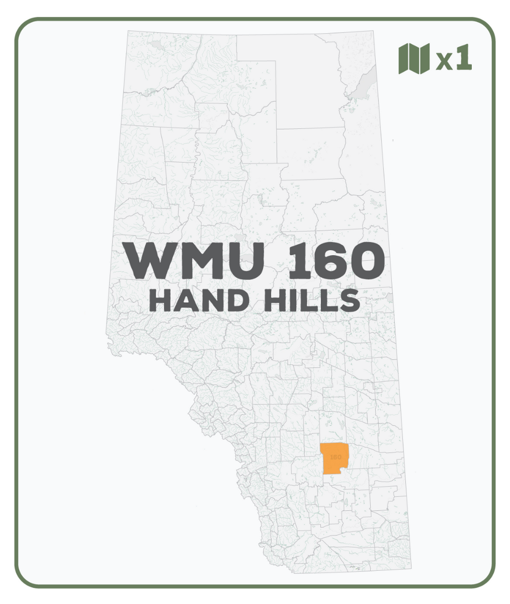
This topographic hunting map covers the Hand Hills Wildlife Management Unit 160 in southern Alberta. Featuring 1:50,000 scale water and road data from the popular Backroad Mapbook series, the maps clearly mark Wildlife Management Units, along with Crown land areas, provincial grazing reserves and public land use zones. Updated road and trail systems, recreational points of interest, campsites, fish species and more make these the most detailed hunting maps available on the market. WMU 160 covers the area between Drumheller in the southwest and Hanna in the northeast, with Secondary Highway 561 & 862 forming the southern boundary, Highway 56 the western, Highway 9 the northern and Highway 36 the eastern boundary.


The printed version of the map is displayed at 1:125,000 scale on 61 x 91 cm (24 x 376 in) paper on a durable waterproof synthetic material. The Wall Maps have been customized to display nicely and fit into common picture frame sizes so you can hang on the cabin, home or workshop wall. They are available in three different sizes and come printed on the waterproof synthetic material.


Print Features:

  • Printed on a durable waterproof and tear-resistant material
  • Includes industry leading cartographic detail and state-of-the-art relief shading
  • Countless points of interest, trails, campsites, hunting management boundaries, private land/Crown land area and more!
  • Easy to read, large-scale 61 x 91 cm (24 x 36 in) map at 1:125,000 scale
  • Seamless map coverage requires no page turning

Looking for a different area?

Browse our TOPO Maps: Zoom into your province to see the map grid, then click on any of the highlighted areas to select your TOPO Map

WMU 160 Hand Hills - Hunting Topo Alberta - Hunting TOPO Map

WMU 160 Hand Hills - Hunting Topo Alberta

$1695 $1995
WMU 160 Hand Hills - Hunting Topo Alberta This topographic hunting map covers the Hand Hills Wildlife Management Unit 160 in southern Alberta. Featuring 1:50,000 scale water and road data from the popular Backroad Mapbook series, the maps clearly mark Wildlife Management Units, along with Crown land areas, provincial grazing...

Scale

Single-side @1:125,000

Area

Drumheller, Hanna, Delia, Finnegan, Homestead Coulee, Michichi, Munnson, Willow Creek, Coleman Lake, Hand Hills Lake, Little Fish Lake, Red Deer River, Starland County, Southern Alberta, WMU 160 Hand Hills

Dimensions

61 x 91 cm/24 x 36 inches

Pages

n/a

Release

2025

Features

This map includes clearly defined hunting area boundaries including Wildlife Management Units, Wildlife Management Zones, Game Hunting Areas and others. Unparalleled road and trail coverage provides you with the best possible access into your hunting area, and clearly defined natural features and elevation contours give you an excellent lay of the land. Adding to the mix is Private/Crown land areas in most provinces to help identify where you can hunt.
View product