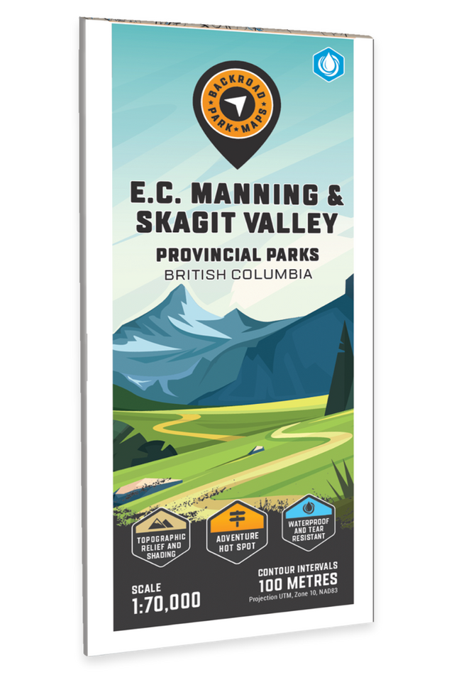
EC Manning & Skagit Valley Provincial Parks BC - Park Map
Vancouver, Coast & Mountains BC, Thompson Okanagan BC • Water-Resistant Map
Couldn't load pickup availability
Specs
Specs
Map Scale: 1:70,000
Release: 2022
Dimensions: 61 x 94 cm / 24 x 37 Inches (Folded) - See Map Type dropdown menu for other options
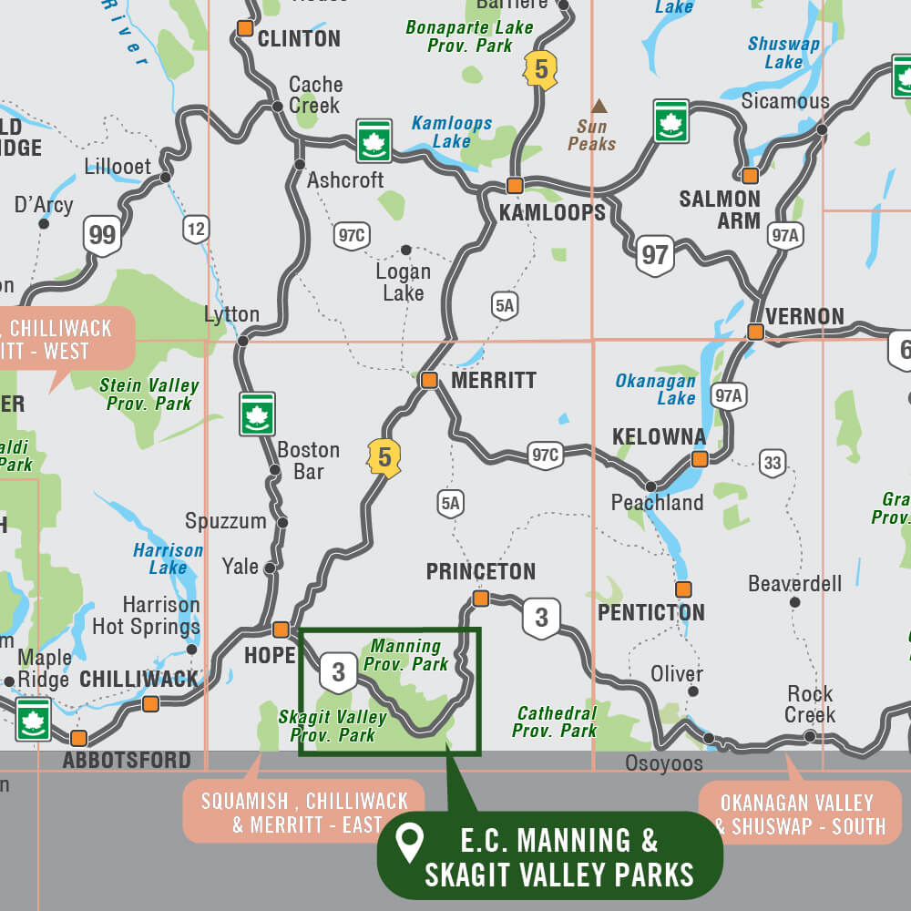
Area Covered
Area Covered
Map Features
Map Features

EC Manning & Skagit Valley Provincial Parks BC - Park Map
Description
Description
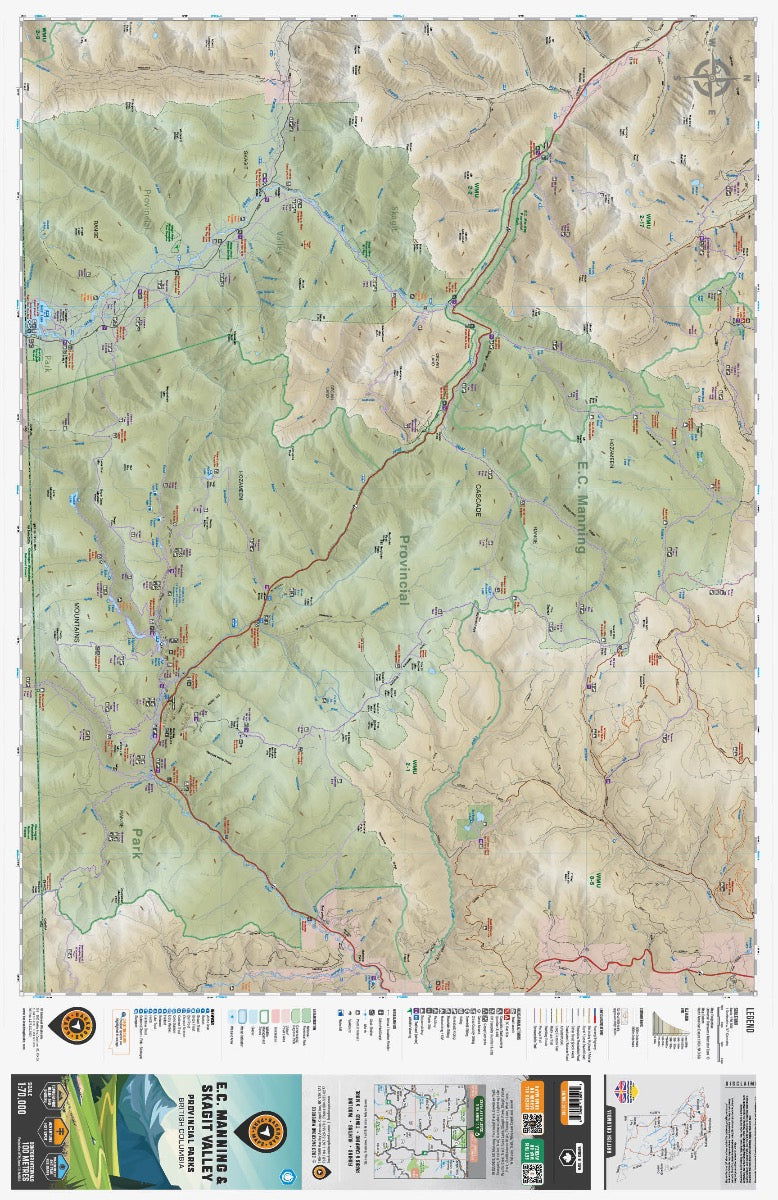
EC Manning & Skagit Valley Provincial Parks Map BC
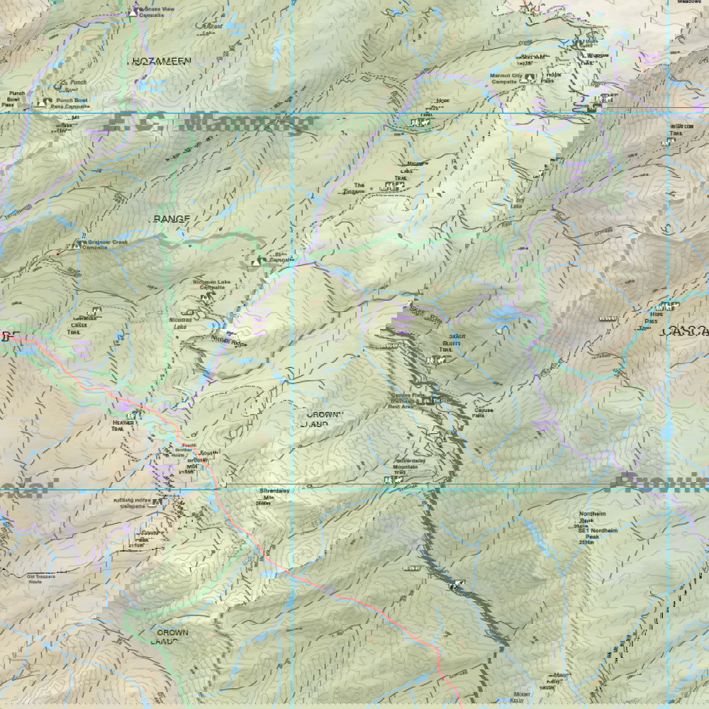
Covering EC Manning Provincial Park along with the Skagit Valley Park to the west, this topographic recreation map highlights all the nearby campgrounds, access roads, trails for hiking, horseback riding, mountain biking, cross-country skiing and snowshoeing, backcountry huts and cabins, fishing rivers and lakes and more! This Adventure map features our industry-leading topographic contours and relief shading and charts the areas around Blackwall Peak, Dewdney Trail, Eastgate, Heather (3 Brothers) Trail, Garrison Lakes, Lightning Lake, Manning Park, Monument 76 & 83, Pacific Crest Trail, Ross Lake, Skagit River, Skagit Valley Park, Similkameen River, Sumallo River, Thunder Lake, West Gate, Whatcom Trail, Whipsaw Creek and more!
The printed version of the map is displayed at 1:70,000 scale on 61 x 94 cm (24 x 37 in) paper. You can choose between having the map printed on regular water-resistant paper or a more durable waterproof synthetic. The Wall Maps have been customized to display nicely and fit into common picture frame sizes so you can hang on the cabin, home or workshop wall. They are available in three different sizes and come printed on the waterproof synthetic material.
Print Features:
- Printed on regular water-resistant paper or durable waterproof and tear-resistant material
- Includes industry leading cartographic detail and state-of-the-art relief shading
- Countless points of interest, hiking trails, campsites, boat launches, paddling routes and more!
- Easy to read, large-scale 61 x 94 cm (24 x 37 in) map at 1:70,000 scale
- Seamless map coverage requires no page turning