Desolation Sound Provincial Park BC - Wall Map
Vancouver, Coast & Mountains BC
Couldn't load pickup availability
Scale & Dimensions
Scale & Dimensions
Map Scale: Created at
Note: In case of multiple options, the actual map scale will vary depending on the wall map size you choose.
Dimensions: 3 Options Available
Area Covered
Area Covered
This map includes
Map Features
Map Features
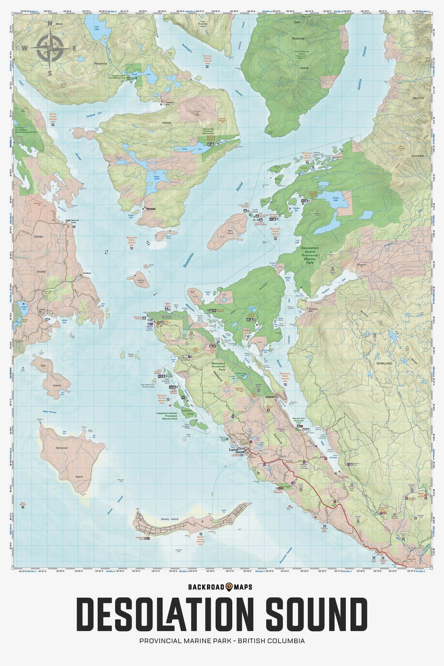
This topographic map for the Desolation Sound Area of BC highlights all the islands, channels and inlets, campsites, paddling routes, parks, trails and recreation features in the area. Covering 960 sq. km (370 sq. mi) in total, this map can be used for camping, canoeing, kayaking, exploring, fishing and wildlife viewing, and charts the areas of Desolation Sound Marine Park, Bliss Landing, Copeland Islands Marine Park, Cortes Island, Curme Islands, East Redonda Island, Lund, Malaspina Peninsula, Okeover Inlet, Roscoe Bay, Sarah Point, Savary Island, Sunshine Coast Trail, Tenedos Bay, Unwin Lake, West Redonda Island and more!
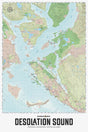
The Wall Map Format
The Wall Map version of this map features a minimal layout to display nicely to fit into common picture frame sizes so you can hang it on the cabin, home or workshop wall.
All maps come printed on waterproof synthetic material for extra durability.

