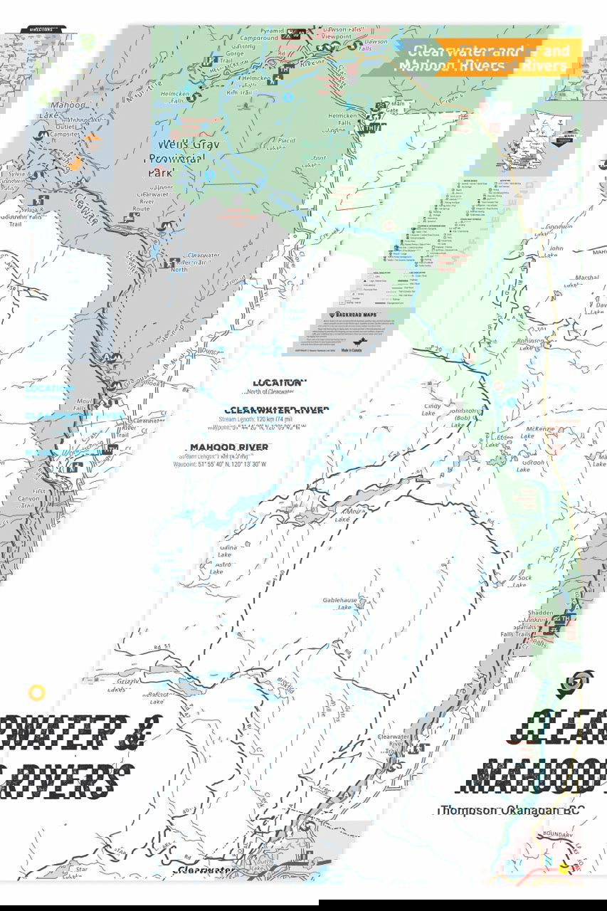
FTOBC43 Clearwater & Mahood Rivers - Wall Map
Thompson Okanagan (Region 3 and 8) • Water-Resistant Map
Couldn't load pickup availability
Specs
Specs
Map Scale: Fishing Charts (Lake Depth or River Map)
Release: 2022
Dimensions: 24 x 36 inches (60.96 x 91,44 cm)
Area Covered
Area Covered
Map Features
Map Features
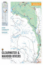
FTOBC43 Clearwater & Mahood Rivers - Wall Map
Description
Description
This Fishing Chart covers Clearwater & Mahood Rivers on Thompson Okanagan, BC. Resting in BC Fishing Region 3, the map features the lake bathymetry (or lake depths) and shore features including boat launches, campsites, fishing docks, parks and resorts. In addition to road or trail access points, the map also includes the lake location and information such as elevation, surface area, mean and maximum depth, and waypoint. Additional features include the fish species found in the lake, an area indicator or map key, scale bar and map legend.
Fishing Charts & Wall Maps
- Large scale maps: printed on large format paper, the lake charts and river map information is easy to read
- Informative: the maps include all the lake and river details including lake bathymetry, shore features and lake or river statistics
- Road and Trail access: unique to these fishing charts are surrounding roads and trails to allow for easier access
- Backroad extras: area indicators, a map legend and fish species are just some of the extras included
- Wall Map option: display your favourite lake or river on the wall with maps tailored for standard picture frames
