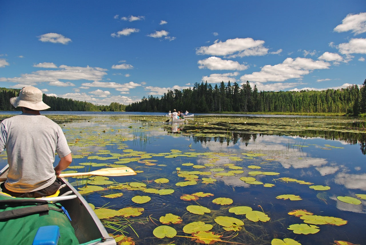
From the Great Lakes to the Canadian Shield, Backroad Maps offers the most trusted outdoor maps for Ontario. Explore top destinations like Cottage Country, Algonquin, and the Northern wilderness with detailed guidebooks, folded maps, wall maps, and GPS maps for every adventure type, such as camping, hiking, paddling, fishing, and hunting.
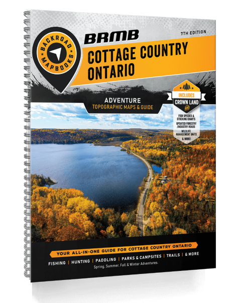
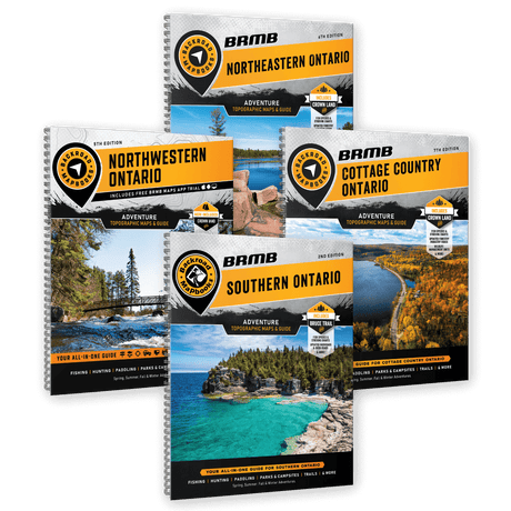
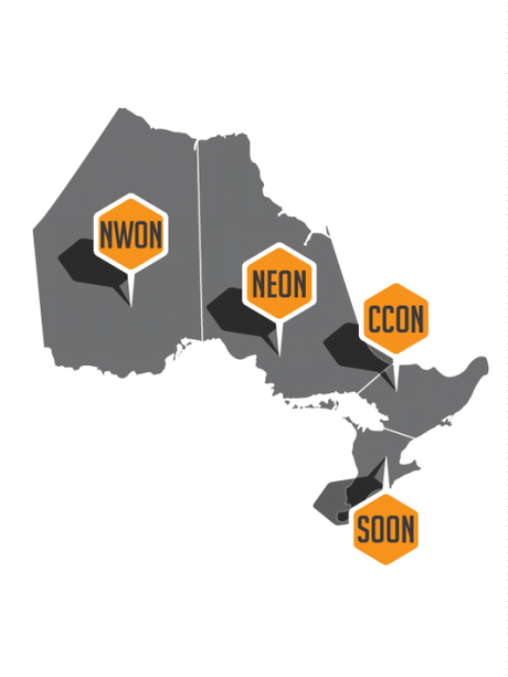
Choose your Region: Southern Ontario | Cottage Country Ontario | Northeastern Ontario | Northwestern Ontario

 27% off
Cottage Country ON - Recreation Map & Mapbook Bundle
$3995$5495Unit price /Unavailable
 17% off
 $1995Unit price /Unavailable
-
NWON91 TOPO Map - Black Duck River
$1995Unit price /Unavailable -
$1995Unit price /Unavailable
-
NWON89 TOPO Map - Big Trout Lake
$1995Unit price /Unavailable -
NWON88 TOPO Map - Opasquia Provincial Park
$1995Unit price /Unavailable -
NWON87 TOPO Map - Fishtrap - Kitchie Lakes
$1995Unit price /Unavailable -
NWON86 TOPO Map - Neskantaga - Lansdowne House
$1995Unit price /Unavailable -
NWON85 TOPO Map - Wunnummin Lake
$1995Unit price /Unavailable -
NWON84 TOPO Map - North Caribou Lake
$1995Unit price /Unavailable -
NWON83 TOPO Map - Weagamow Lake
$1995Unit price /Unavailable -
$1995Unit price /Unavailable
-
$1995Unit price /Unavailable
-
$1995Unit price /Unavailable