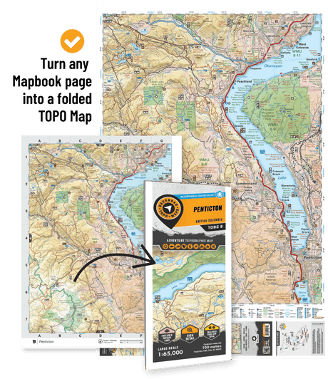
From the Great Lakes to the Canadian Shield, Backroad Maps offers the most trusted outdoor maps for Ontario. Explore top destinations like Cottage Country, Algonquin, and the Northern wilderness with detailed guidebooks, folded maps, wall maps, and GPS maps for every adventure type, such as camping, hiking, paddling, fishing, and hunting.
Choose your Region: Southern Ontario | Cottage Country Ontario | Northeastern Ontario | Northwestern Ontario

 $1995Unit price /Unavailable
-
$1995Unit price /Unavailable
-
$1995Unit price /Unavailable
-
$1995Unit price /Unavailable
-
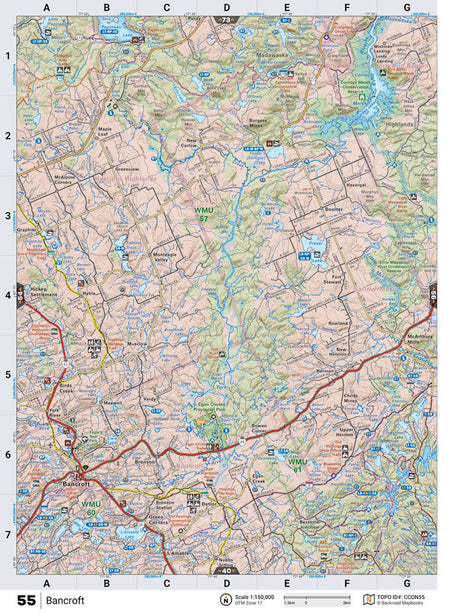
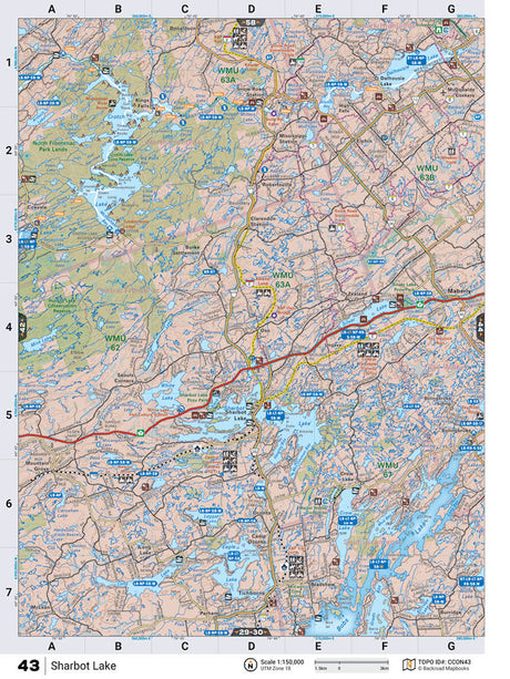
CCON43 TOPO Map - Sharbot Lake
$1995Unit price /Unavailable -
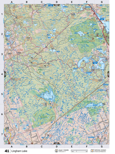
CCON41 TOPO Map - Lingham Lake
$1995Unit price /Unavailable -
$1995Unit price /Unavailable
-
$1995Unit price /Unavailable
-
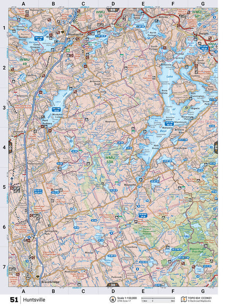
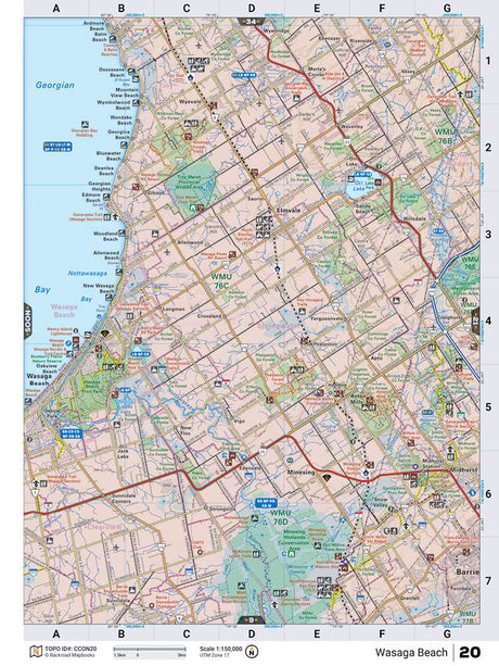
CCON20 TOPO Map - Wasaga Beach
$1995Unit price /Unavailable -
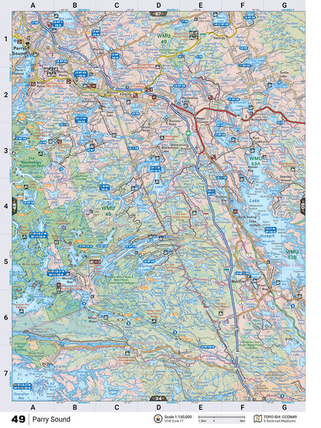
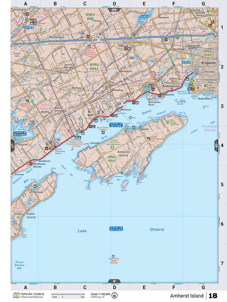
CCON18 TOPO Map - Amherst Island
$1995Unit price /Unavailable -
$1995Unit price /Unavailable
-
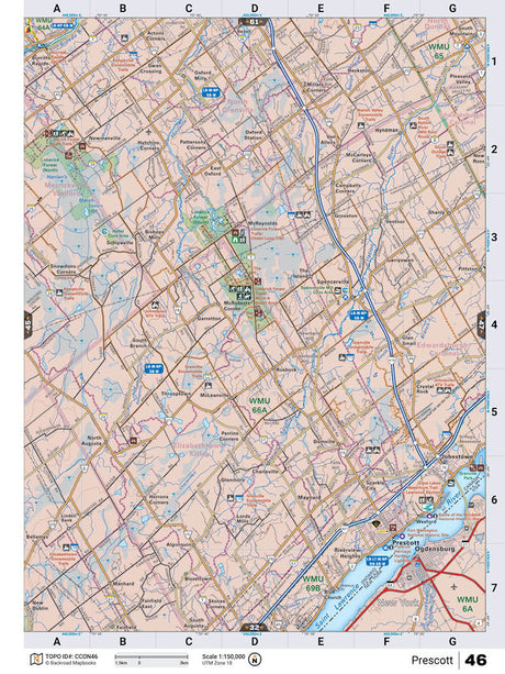
CCON18 Wall Map - Amherst Island
From $4995Unit price /Unavailable -
CCON20 Wall Map - Wasaga Beach
From $4995Unit price /Unavailable -
From $4995Unit price /Unavailable
-
From $4995Unit price /Unavailable