From the Great Lakes to the Canadian Shield, Backroad Maps offers the most trusted outdoor maps for Ontario. Explore top destinations like Cottage Country, Algonquin, and the Northern wilderness with detailed guidebooks, folded maps, wall maps, and GPS maps for every adventure type, such as camping, hiking, paddling, fishing, and hunting.
Choose your Region: Southern Ontario | Cottage Country Ontario | Northeastern Ontario | Northwestern Ontario

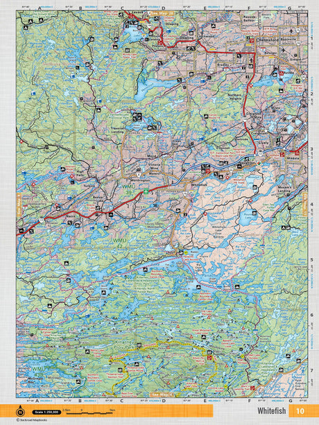
 From $4995Unit price /Unavailable
-
NEON12 Wall Map - Sturgeon Falls
From $4995Unit price /Unavailable -
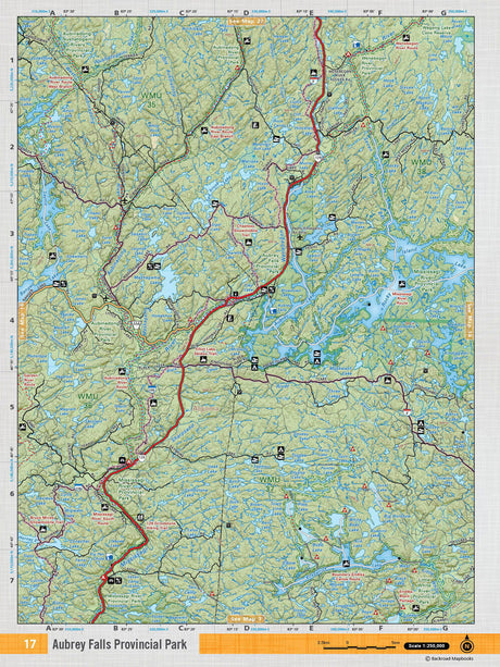
NEON17 Wall Map - Aubrey Falls Provincial Park
From $4995Unit price /Unavailable  From $4995Unit price /Unavailable
-
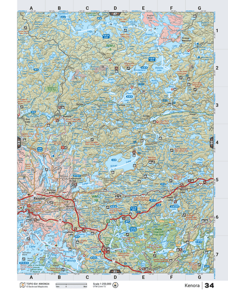
From $4995Unit price /Unavailable
-
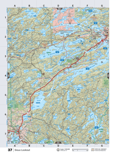
NWON37 Wall Map - Sioux Lookout
From $4995Unit price /Unavailable 
Sleeping Giant Provincial Park ON - Wall Map
From $5995Unit price /Unavailable-
NWON80 TOPO Map - Albany River - Washi Lake
$1995Unit price /Unavailable -
$1995Unit price /Unavailable
-
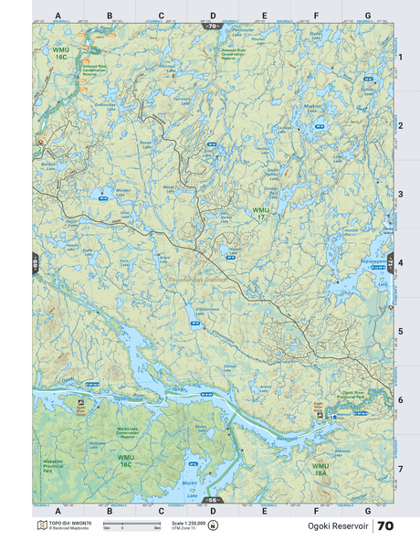
NWON70 TOPO Map - Ogoki Reservoir
$1995Unit price /Unavailable -
NWON68 TOPO Map - Whitewater Lake
$1995Unit price /Unavailable -
$1995Unit price /Unavailable
-
$1995Unit price /Unavailable
-
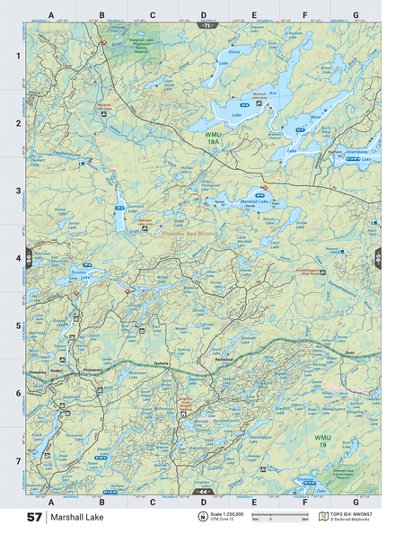
NWON57 TOPO Map - Marshall Lake
$1995Unit price /Unavailable -
$1995Unit price /Unavailable