NWON77 TOPO Map - Pickle Lake

Northwestern Ontario TOPO Map · Folded · Waterproof
$1995

Barcode: N/A

Scale & Dimensions

Map Scale: Created at 1:165,000
Note: In case of multiple options, the actual map scale will vary depending on the wall map size you choose.

Dimensions: 61 x 94 cm/24 x 37 inches

Area Covered

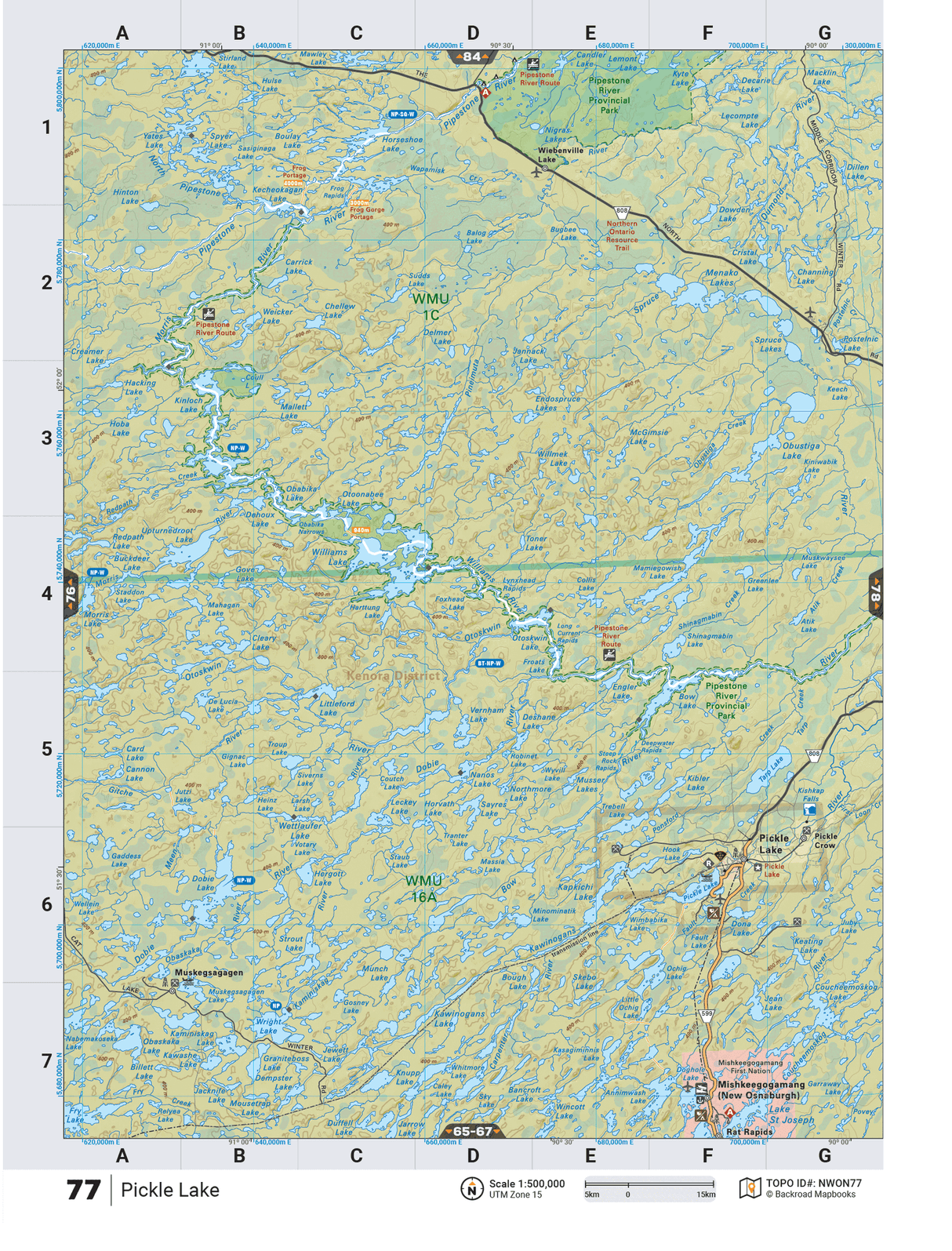
This map includes Mishkeegogamang (New Osnaburgh), Muskegsagagen, Pickle Crow, Rat Rapids, Wiebenville Lake,Pipestone River, Pipestone River Provincial Park, Bow Lake,Kecheokagan Lake, Morris River, Otoonabee Lake,Otoskwin River, Upturnedroot Lake,Spyer Lake

Map Features

Highways, Logging Roads, Land & Water Features, Parks, Adventure Points of Interest, Campgrounds, Hiking Trails, Motorized Trails, Paddling Routes, Hunting & Fishing Areas, Winter Recreation and More.

Description

This recreation topographic map for Wunnummin Lake highlights all the logging/resource roads, hunting areas, fishing lakes & streams, campsites, paddling routes for canoeing and kayaking, wildlife viewing areas, motorized trails for ATVing and snowmobiling & more. Covering 12,170 km2 (4,700 mi2), this 1:165,000 scale map measures 96 x 127 km (60 x 79 mi), providing you with more topographic and recreational detail for the Pickle Lake area than any other map on the market. New features include expanded road and trail data and countless recreational Points of Interest. Included on this map are Wunnummin Lake, Pipestone River Provincial Park, Pipestone River, Winisk River, Wigwascence Lake, Pineimuta River, Peeawagon Lake and more!Ê This map also covers Wildlife Management Units: WMU 1C, WMU 1D.Wunnummin Lake - Northwestern Ontario is printed on demand at our office in Coquitlam (BC) and measures 61 x 94 cm (24 x 37 inches).

The TOPO Map Format

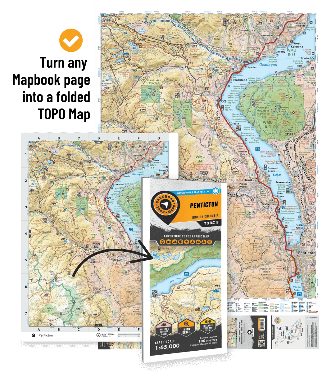
The TOPO Maps series lets you select any map from our Backroad Mapbooks collection, enlarged for a clearer and more detailed view of your area. These High-Detail Maps feature industry-leading topographic relief, making them ideal for your hunting, paddling, hiking, or camping trips.

Also Available on Avenza

NWON77 TOPO Map - Pickle Lake - Backroad Maps

NWON77 TOPO Map - Pickle Lake

$1995
This recreation topographic map for Wunnummin Lake highlights all the logging/resource roads, hunting areas, fishing lakes & streams, campsites, paddling routes for canoeing and kayaking, wildlife viewing areas, motorized trails for ATVing and snowmobiling & more. Covering 12,170 km2 (4,700 mi2), this 1:165,000 scale map measures 96 x 127 km...

Scale

1:165,000

Area

Mishkeegogamang (New Osnaburgh), Muskegsagagen, Pickle Crow, Rat Rapids, Wiebenville Lake,Pipestone River, Pipestone River Provincial Park, Bow Lake,Kecheokagan Lake, Morris River, Otoonabee Lake,Otoskwin River, Upturnedroot Lake,Spyer Lake

Dimensions

61 x 94 cm/24 x 37 inches

Pages

n/a

Release

2021

Features

Highways, Logging Roads, Land & Water Features, Parks, Adventure Points of Interest, Campgrounds, Hiking Trails, Motorized Trails, Paddling Routes, Hunting & Fishing Areas, Winter Recreation and More.
View product