Strathcona Provincial Park BC - Wall Map
Vancouver Island BC
Couldn't load pickup availability
Scale & Dimensions
Scale & Dimensions
Map Scale: Created at
Note: In case of multiple options, the actual map scale will vary depending on the wall map size you choose.
Dimensions: 3 Options Available
Area Covered
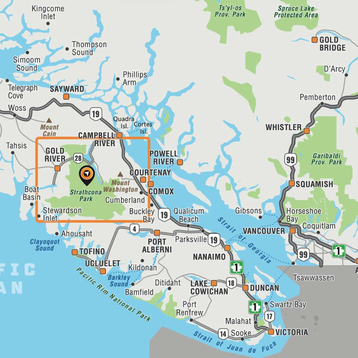
Area Covered
This map includes
Map Features
Map Features

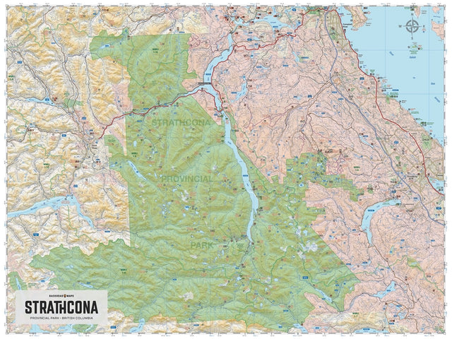
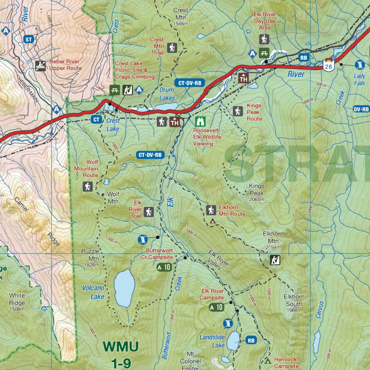
Covering all of Strathcona Provincial Park on Vancouver Island, this British Columbia topographic recreation map highlights all the access roads and trails for hikers, bikers, skiers and backcountry enthusiasts. Showcasing frontcountry and wilderness campsites, huts and cabins, picnic sites, recreation sites, viewpoints, waterfalls, climbing areas and fishing lakes and rivers, there is a lifetime of outdoor adventures to be found here.
This map features our industry-leading topographic contours and relief shading, as well as roads, recreation sites and trails and ATV and snowmobile areas outside the park. Included on the map are Campbell River, Courtenay, Gold River, Bedwell River, Buttle Lake, Comox Glacier, Della Falls, Forbidden Plateau, Mount Washington Ski Area, Myra Falls, Oyster River, Upper Campbell Lake and more! No other map covers all of Strathcona Provincial Park with this level of recreation detail.
The Wall Map Format
The Wall Map version of this map features a minimal layout to display nicely to fit into common picture frame sizes so you can hang it on the cabin, home or workshop wall.
All maps come printed on waterproof synthetic material for extra durability.