Lakeland Provincial Recreation Area Alberta - Wall Map
Central Alberta
Couldn't load pickup availability
Scale & Dimensions
Scale & Dimensions
Map Scale: Created at
Note: In case of multiple options, the actual map scale will vary depending on the wall map size you choose.
Dimensions: 3 Options Available
Area Covered
Area Covered
This map includes
Map Features
Map Features
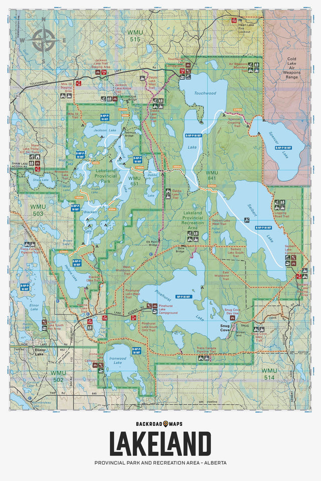
Highlighting the Lakeland Provincial Park and Recreation Area near Lac La Biche, Alberta, this map features the ATV and snowmobile trails, canoe route and its access point, campsites, portage trails with distance markers, fish species, hiking trails and recreation features in the area. Use for ATVing, fishing, camping, exploring, canoeing, kayaking, hiking, skiing, snowmobiling, wildlife viewing and more. No other map for the area provides you with this level of recreational or topographic detail. Covering the entire canoe route and surrounding area, this 1:50,000 scale map includes Lakeland Provincial Park, Lakeland Provincial Recreation Area, Blackett Lake, Elinor Lake, Helena Lake, Ironwood Lake, Jackson Lake, Kinnaird Lake, Pinehurst Lake, Seibert Lake, Shaw Lake, Spencer Lake, Touchwood Lake and more.
The Wall Map Format
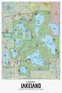
The Wall Map version of this map features a minimal layout to display nicely to fit into common picture frame sizes so you can hang it on the cabin, home or workshop wall.
All maps come printed on waterproof synthetic material for extra durability.