Description
Description
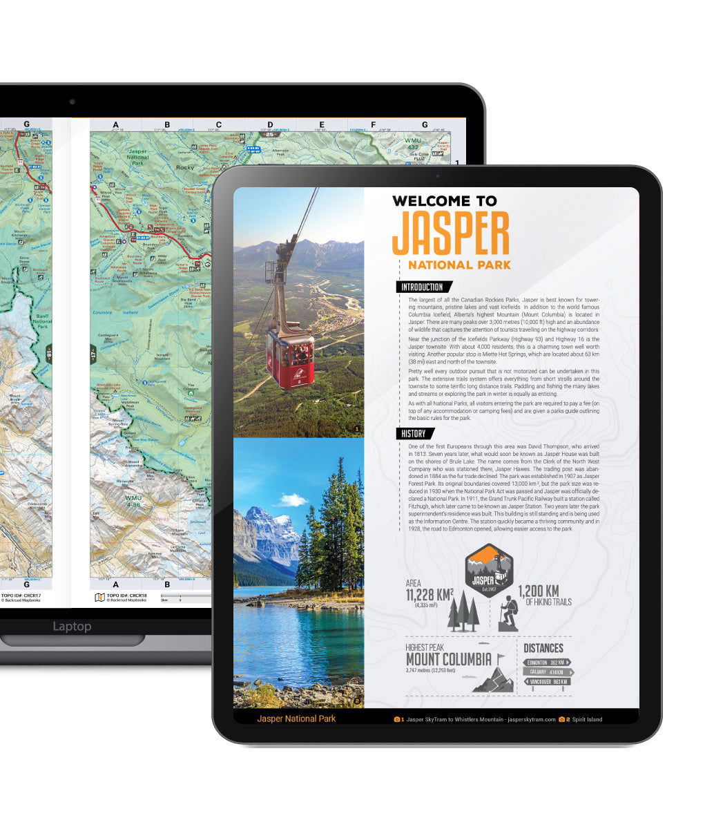
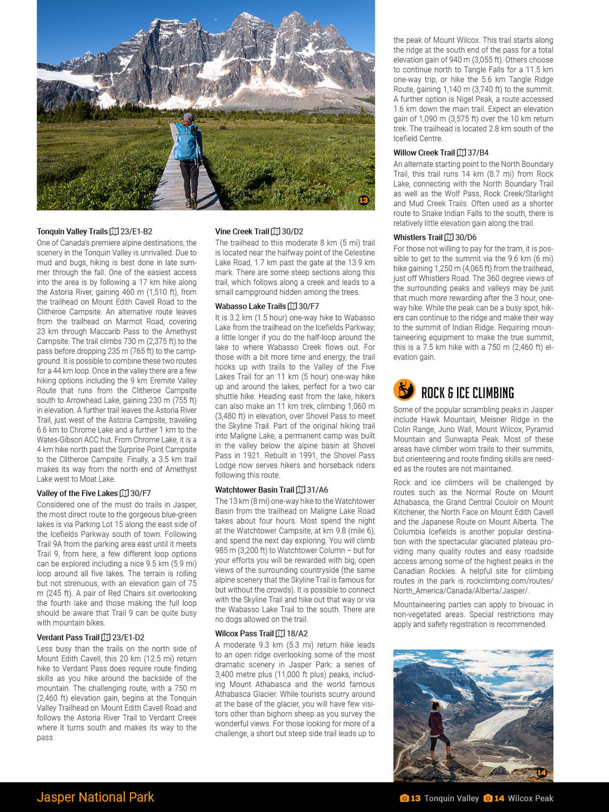
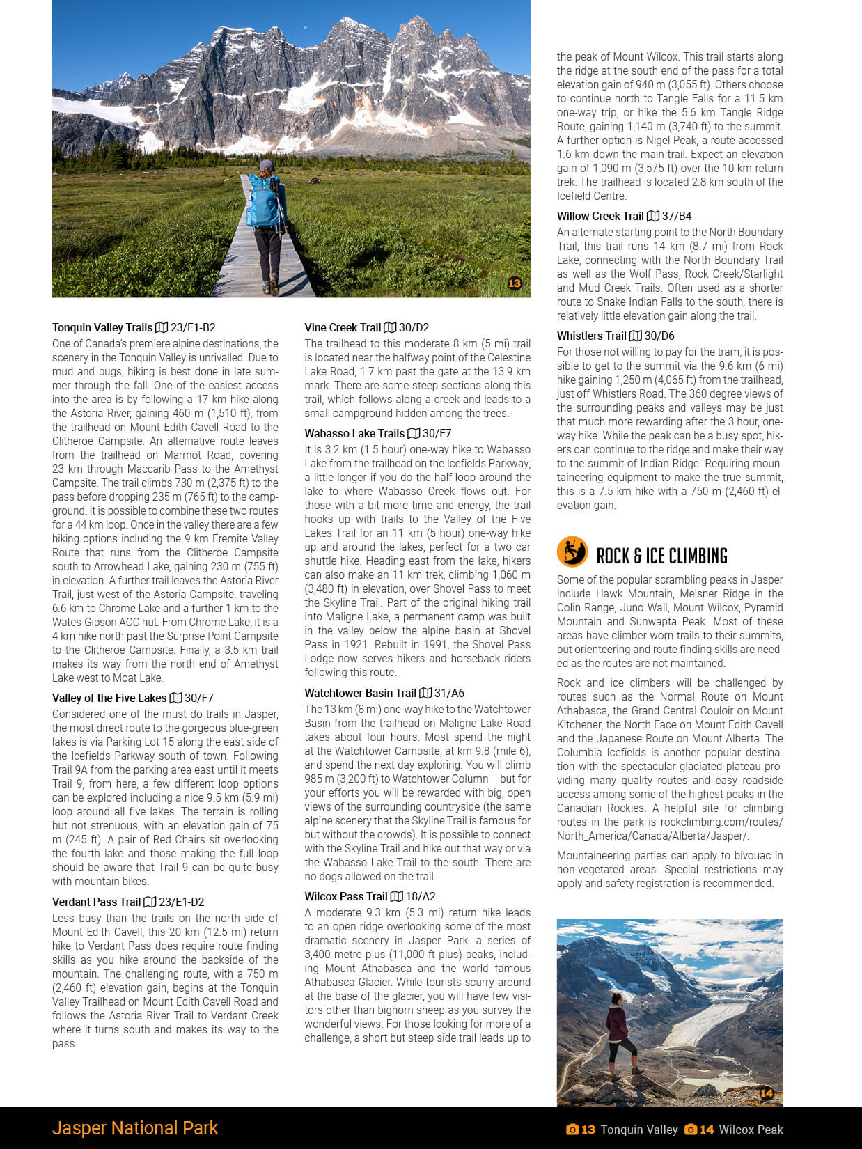
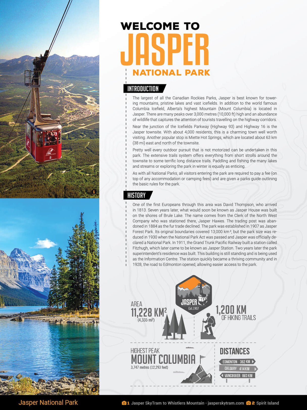
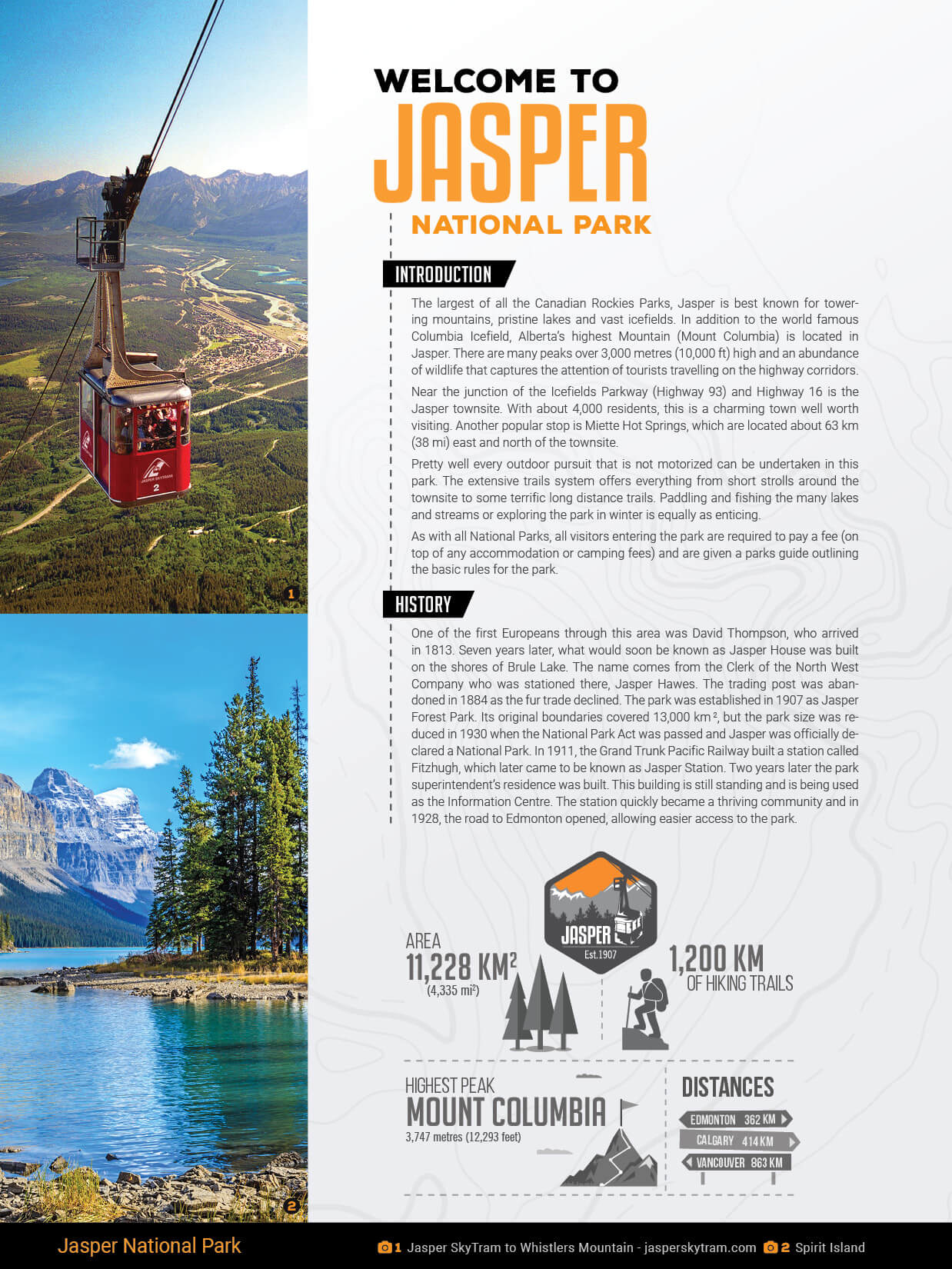
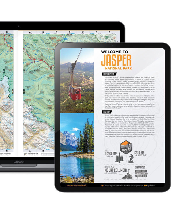
Jasper National Park is the largest of the Canadian Rockies Parks, at 11,000 km_ (4,247 square miles). Jasper has no shortage of towering peaks, colourful alpine meadows, rushing rivers and mesmerizing mountain lakes for which the Canadian Rockies wilderness is famous. From the historic townsite of Jasper to wandering the picturesque meadow trail, to the base of Mount Edith Cavell, hiking Maligne Canyon, rafting the Athabasca River, practicing the sound of music at the top of WhistlerÃ_x0095_s Mountain or trekking the Skyline Trail, Jasper National Park is a must-see outdoor enthusiasts destination. Mountaineering and ice climbing in Jasper National Park is second to none, including AlbertaÃ_x0095_s tallest mountain, Mount Columbia, and our PDF booklet will smoothly guide you to the climbing hotspots on Mount Athabasca, Mount Kitchener and others.
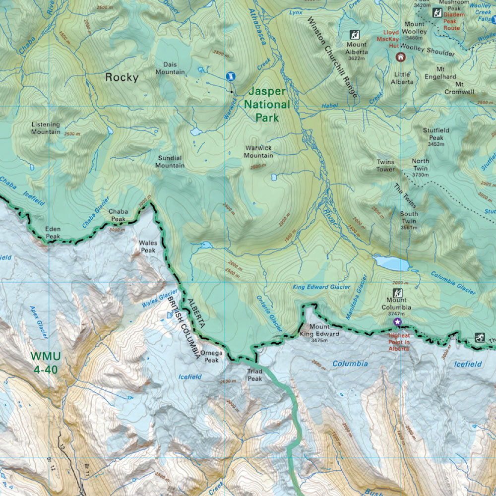
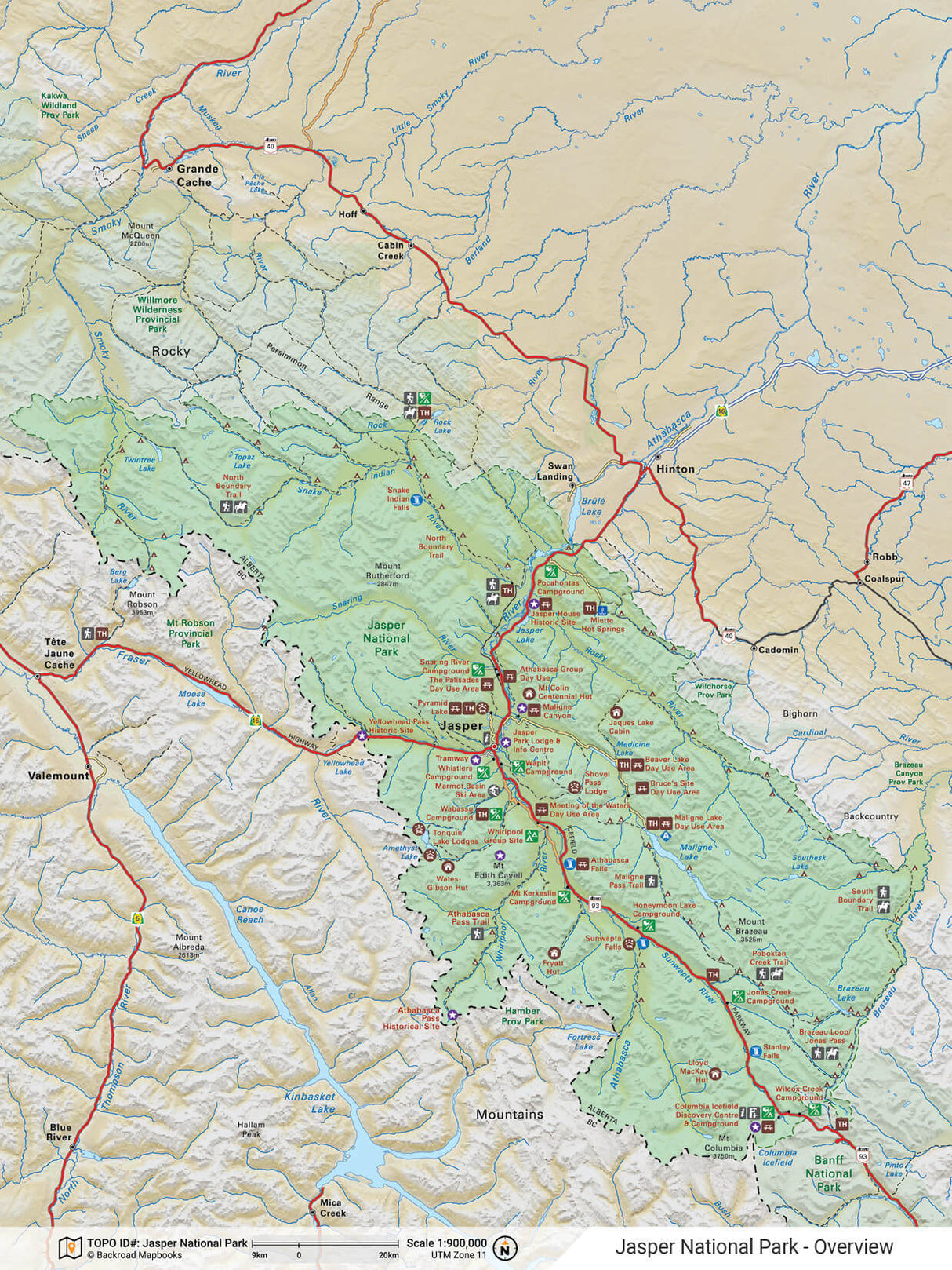
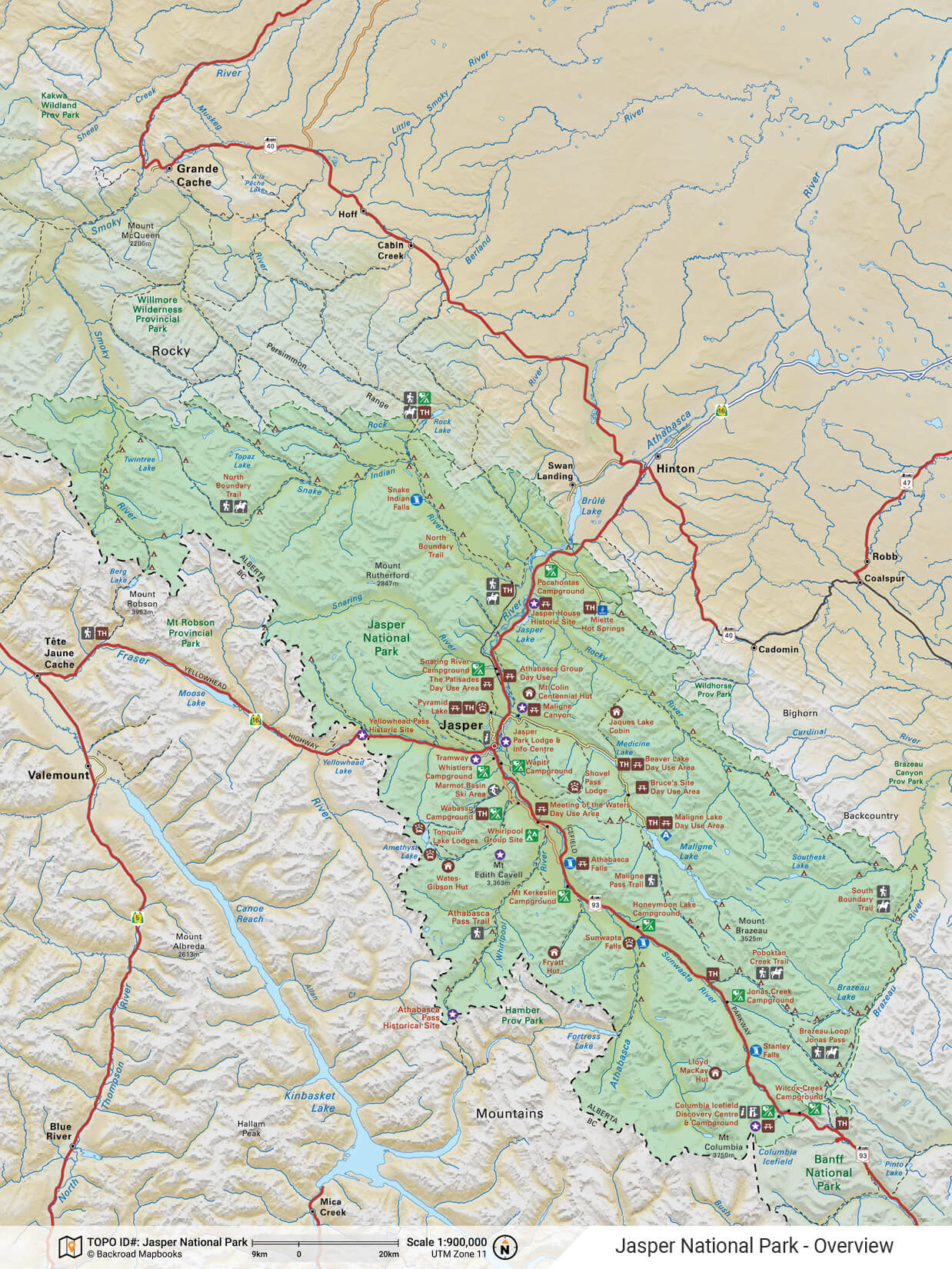
The PDF bundle includes large and small scale topographic maps, a park overview map, and detailed trail and city maps for popular areas, making it easy to find the Jasper wilderness hotspot you are looking for. The 32 page booklet also highlights Things to Know, Things to See & Do, contact information, places to camp or stay, day-use areas, and countless recreational activities for things like fishing, trails, paddling, rock climbing, wildlife viewing and winter sports. From some of the top tourist destinations in the world, to beautiful, secluded wilderness areas, this PDF booklet is the perfect planning tool and companion to any trip through this Rocky Mountain park.
Adventures
Adventures
Features
Features
The PDF booklets are zoomable for easier reading of small text, lightweight and easily carried with you. Featuring all of the park information found in the Canadian Rockies Backroad Mapbook in one downloadable booklet, they are a must have on any park adventure. Features include:
- Easy to Read: zoom into the maps or text for easy route planning
- Lightweight: transport several mapbooks at once using your phone, tablet, or computer
- Easy to Navigate: use the index or search function for easy navigation between pages and maps
- Eco-Friendly: zero paper waste!
The Jasper National Park PDF Booklet Contains:
Park Information:
- Introduction & History
- Things to Know
- Facilities & Activities
- Contact Information
- Things to See & Do
- Trip Planning Tools
Topographic Maps:
- Fourteen 1:200,000 Scale Maps
- Three overview and detailed Park & Topographic Maps of various scales
- Jasper National Park overview map @ 1:900,000
- A detailed 1:50,000 scale topographic maps of the sites & trails around Jasper townsite
- A detailed 1:80,000 scale topographic maps of the sites & trails around Maligne Lake
Adventures:
- Camping & Accommodations
- Fishing
- Paddling
- Rock & Ice Climbing
- Trails
- Wildlife Viewing
- Winter Activities

