WMU 530 Hunting Bundle - Delta Alberta (10 maps)
Description
Description
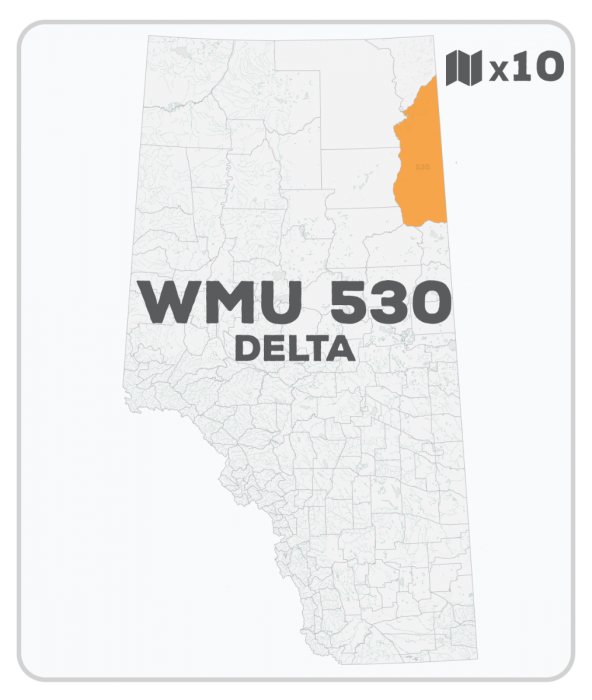
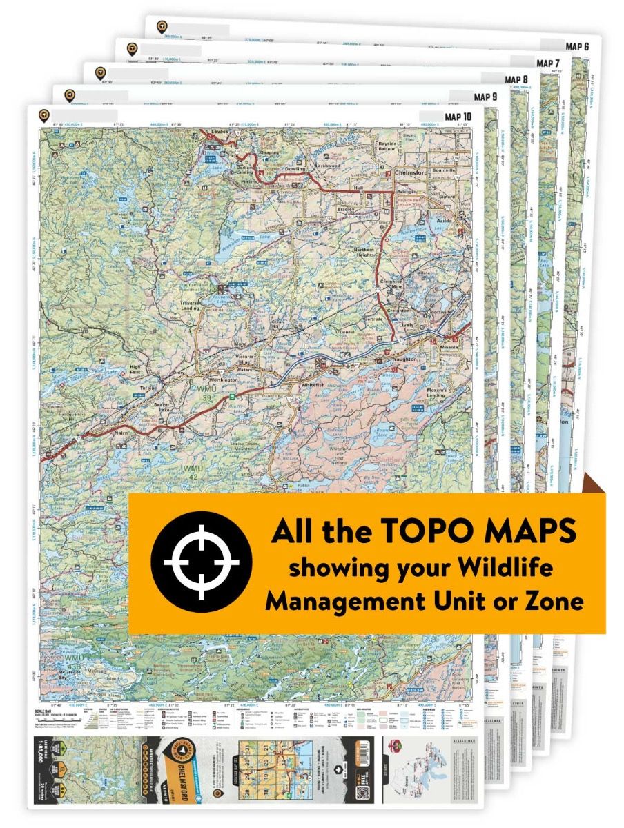
This hunting map bundle includes 10 individual topographic maps covering this zone. Printed at a 1:85,000 scale, these maps feature clearly marked Wildlife Management Units, along with Crown land areas, provincial grazing reserves and public land use zones. Updated road and trail systems, recreational points of interest, campsites, fish species and more make these the most detailed hunting maps available on the market. WMU 530 covers a large area northeast of Fort McMurray to Lake Athabasca and the Saskatchewan border. The Clearwater River forms the southern boundary, while the Athabasca River forms the western boundary.
This hunting map bundle is available in print and includes BRMB TOPO maps NOAB 55, 68, 69, 70, 81, 82, 83, 89, 90 and 97. The digital or downloadable version is available through the Avenza Maps app and includes these same topographic maps that can be viewed and tracked on your phone or tablet when exploring the entire hunting area.