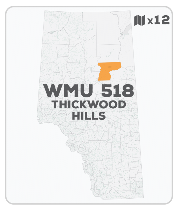
WMU 518 Hunting Bundle - Thickwood Hills Alberta (12 maps)
Northern Boreal WMU Seasons (500 Series & 841) • Water-Resistant Map
Couldn't load pickup availability
Specs
Specs
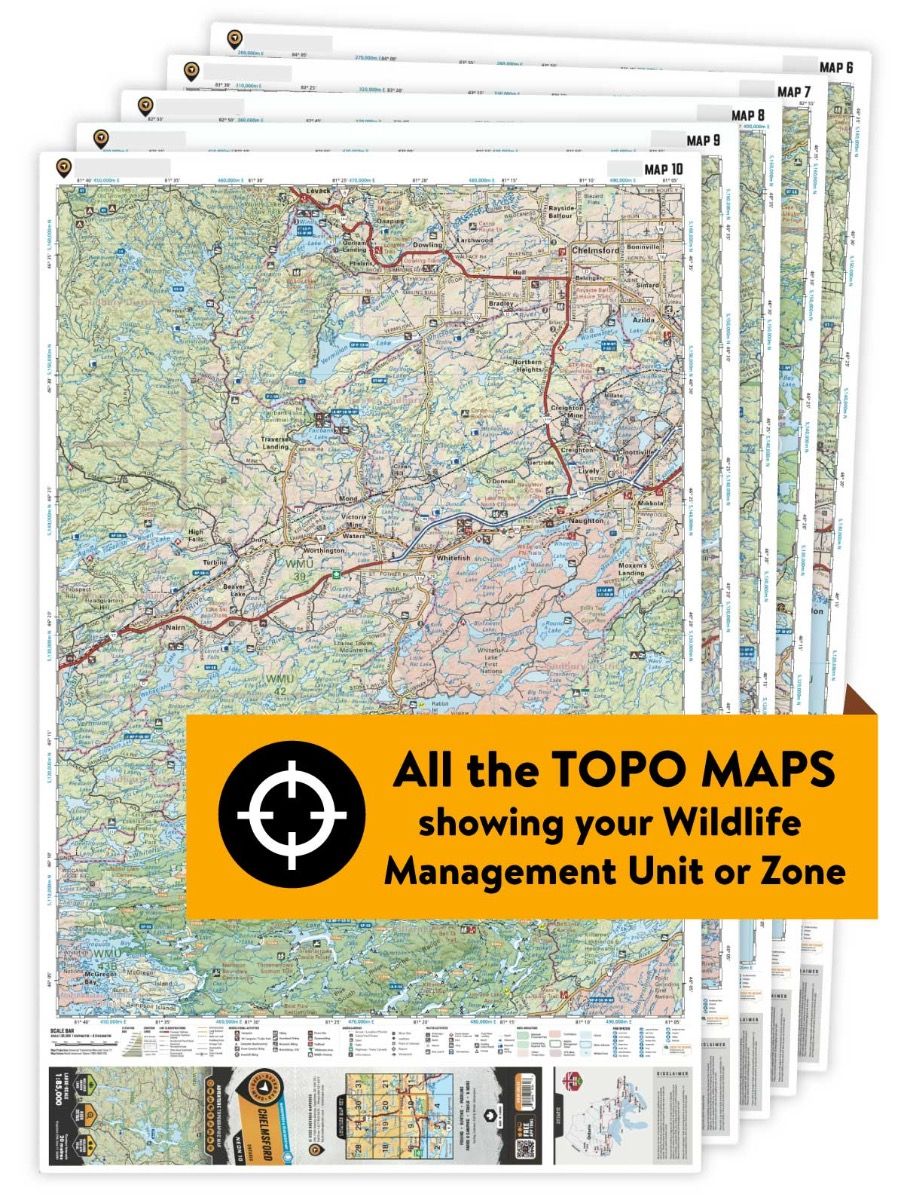
Map Scale: 12 maps @ 1:85,000
Release: 2020
Dimensions: 61 x 94 cm/24 x 37 inches
Area Covered
Area Covered
Map Features
Map Features
WMU 518 Hunting Bundle - Thickwood Hills Alberta (12 maps)
Description
Description
This hunting map bundle includes 12 individual topographic maps covering this zone. Printed at a 1:85,000 scale, these maps feature clearly marked Wildlife Management Units, along with Crown land areas, provincial grazing reserves and public land use zones. Updated road and trail systems, recreational points of interest, campsites, fish species and more make these the most detailed hunting maps available on the market. WMU 518 covers a large area west of Fort McMurray that is bounded by the 24th baseline in the north, the 21st baseline in the south, North Wabasca Lake and River and Liege River in the west, and the Athabasca River in the east.
This hunting map bundle is available in print and includes BRMB TOPO maps NOAB 37, 38, 39, 51, 52, 53, 54, 65, 66, 67, 68 and 69. The digital or downloadable version is available through the Avenza Maps app and includes these same topographic maps that can be viewed and tracked on your phone or tablet when exploring the entire hunting area.
