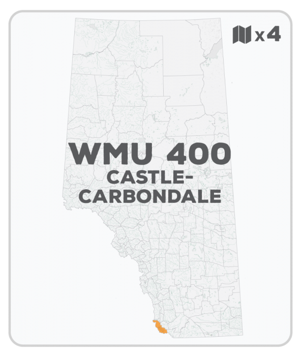
WMU 400 Hunting Bundle - Castle-Carbondale Alberta (4 maps)
Description
Description
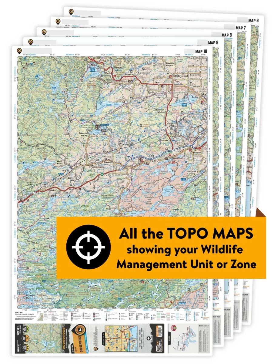
This hunting map bundle includes four individual topographic maps covering this zone. Printed at a 1:75,000 scale, these maps feature clearly marked Wildlife Management Units, along with Crown land areas, provincial grazing reserves and public land use zones. Updated road and trail systems, recreational points of interest, campsites, fish species and more make these the most detailed hunting maps available on the market. WMU 400 is located south of Coleman and Blairmore and the Crowsnest Pass area, covering the Castle Wildland and Castle Provincial Parks, with Waterton National Park forming the southern boundary and BC the western boundary.
This hunting map bundle is available in print and includes BRMB TOPO maps SOAB 1, 2, 9 and 10. The digital or downloadable version is available through the Avenza Maps app and includes these same topographic maps that can be viewed and tracked on your phone or tablet when exploring the entire hunting area.
