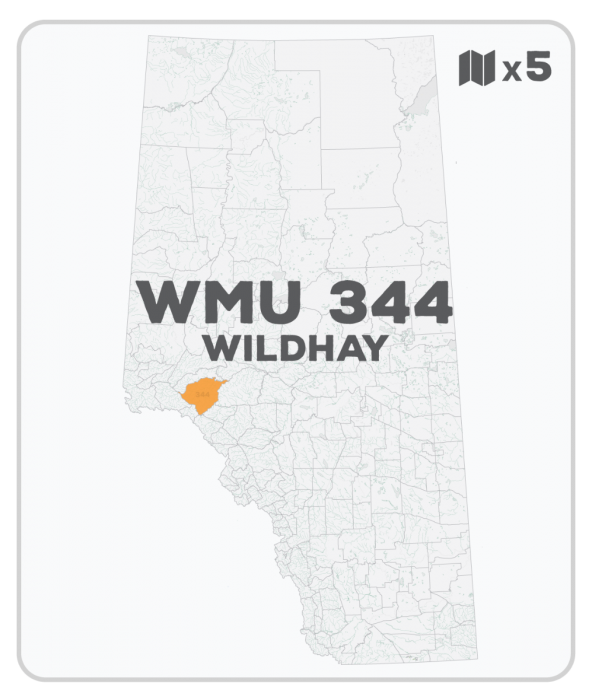
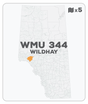
WMU 344 Hunting Bundle - Wildhay Alberta (5 maps)
Description
Description
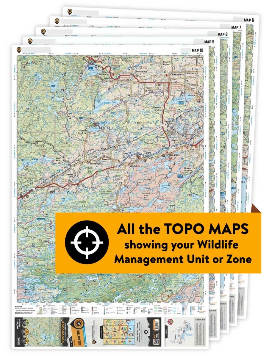
This hunting map bundle includes five individual topographic maps covering this zone. Printed at a 1:85,000 scale, these maps feature clearly marked Wildlife Management Units, along with Crown land areas, provincial grazing reserves and public land use zones. Updated road and trail systems, recreational points of interest, campsites, fish species and more make these the most detailed hunting maps available on the market. WMU 344 is located north of Hinton and the Athabasca River and is bordered by Highway 40 in the west and the Berland River in the north.
This hunting map bundle is available in print and includes BRMB TOPO maps CEAB 39, 40, 54, 55 and 56. The digital or downloadable version is available through the Avenza Maps app and includes these same topographic maps that can be viewed and tracked on your phone or tablet when exploring the entire hunting area.
