Description
Description
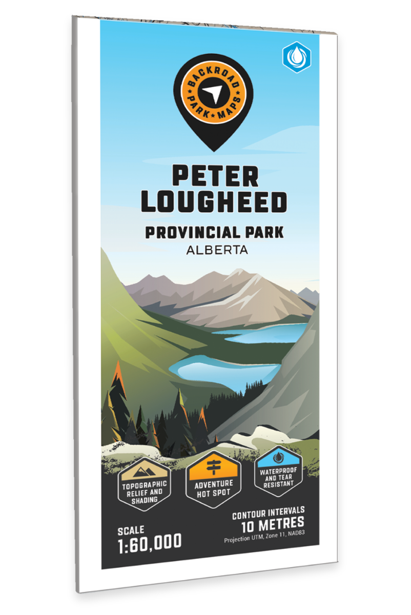
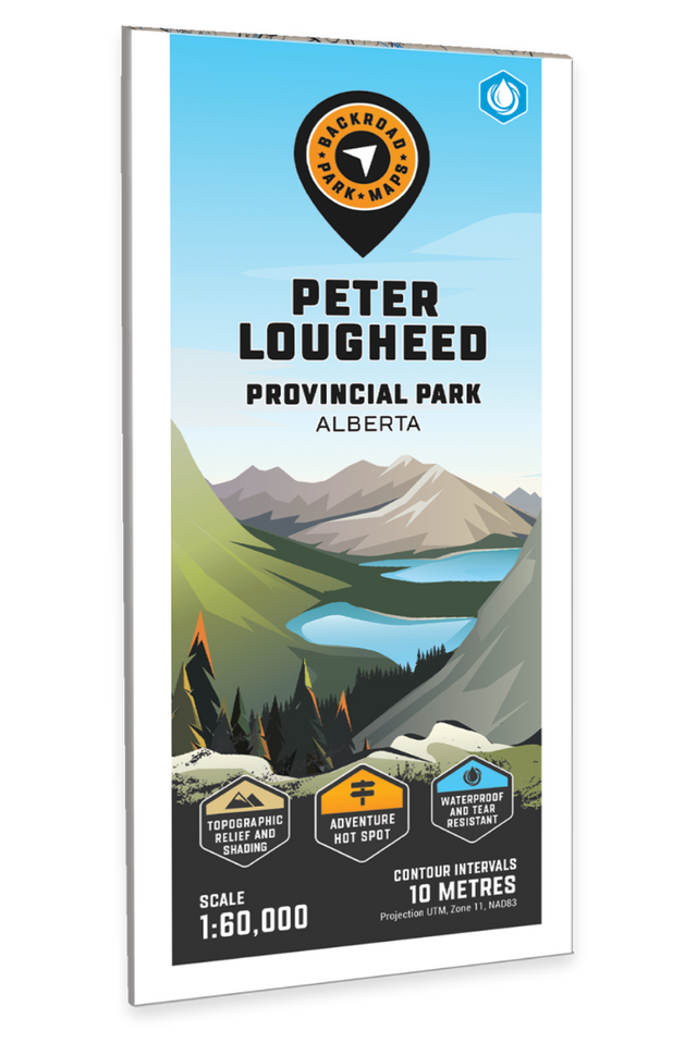
Peter Lougheed Provincial Park Map Alberta
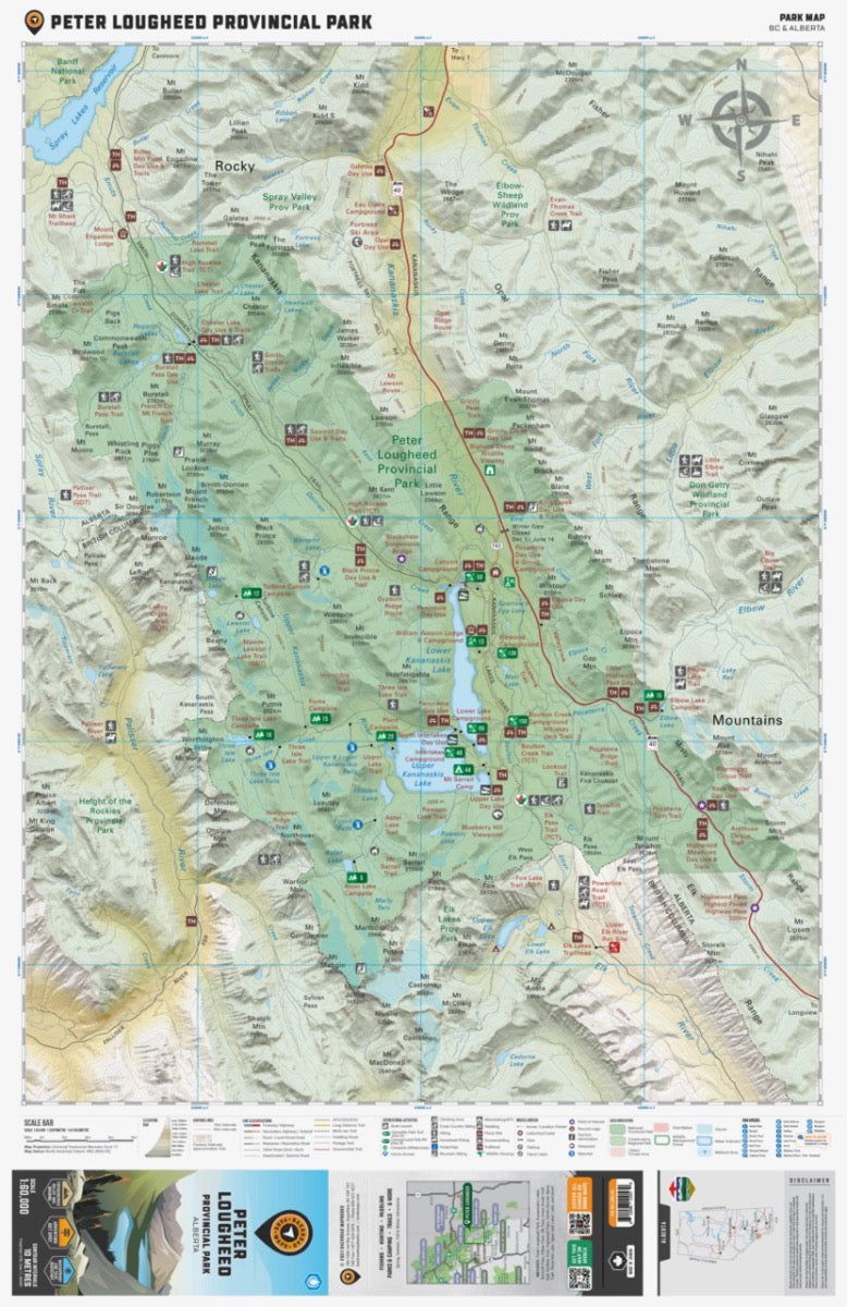
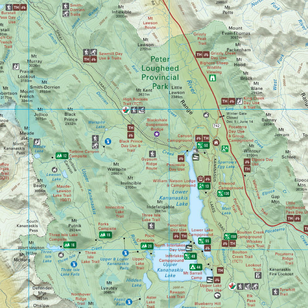
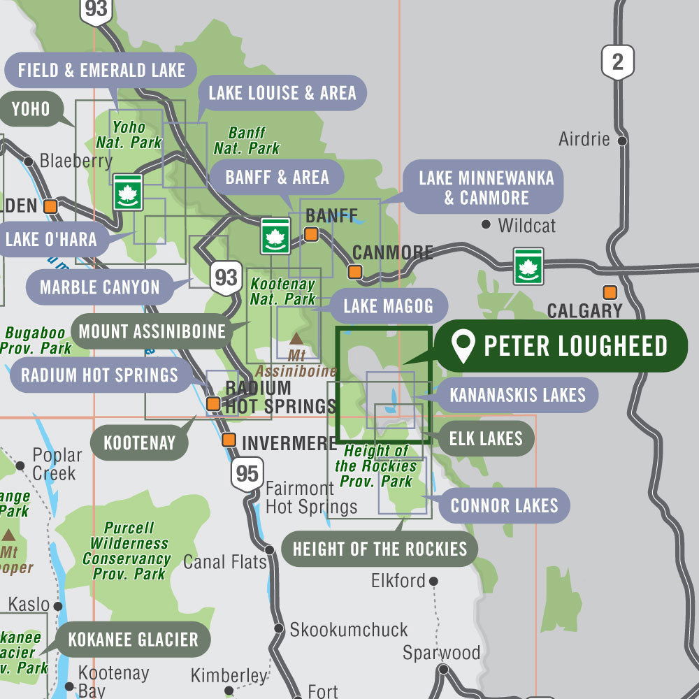
Covering Peter Lougheed Provincial Park and the surrounding area, this topographic recreation map highlights all the highways, access roads, campsites, trails for hiking, cross-country skiing, mountain biking, horseback riding and snowshoeing, fishing lakes and rivers, viewpoints, waterfalls, paddling routes, picnic areas, backcountry huts and cabins and more! Using 1:50,000 scale data, this map features topographic contours and relief shading. Included on the map are Upper and Lower Kananaskis Lakes, Burstall Pass, Elbow Pass, Elk Pass, Fortress Ski Area, Great Divide Trail, Headwall Lakes, Highwood Pass, Kananaskis River, Mount Lawson, Mount Murray, Mount Sarrail, Smith Dorrien Creek, Three Isle Lake, and more!
The printed version of the map is displayed at 1:60,000 scale on 61 x 94 cm (24 x 37 inch) paper. There is the option to get this printed on regular water-resistant paper or a more durable water synthetic. There are also options for folded and unfolded, which includes the cover and map legend, or as a more decorative wall map.
Print Features:
- Printed on regular water-resistant paper or durable waterproof and tear-resistant material
- Includes industry leading cartographic detail and state-of-the-art relief shading
- Countless points of interest, hiking trails, campsites, boat launches, paddling routes and more!
- Easy to read, large-scale 61 x 94 cm (24 x 37 inch) map at 1:60,000 scale
- Seamless map coverage requires no page turning

