Hamber Provincial Park BC - Wall Map
Canadian Rockies
Couldn't load pickup availability
Scale & Dimensions
Scale & Dimensions
Map Scale: Created at
Note: In case of multiple options, the actual map scale will vary depending on the wall map size you choose.
Dimensions: 3 Options Available
Area Covered
Area Covered
This map includes
Map Features
Map Features
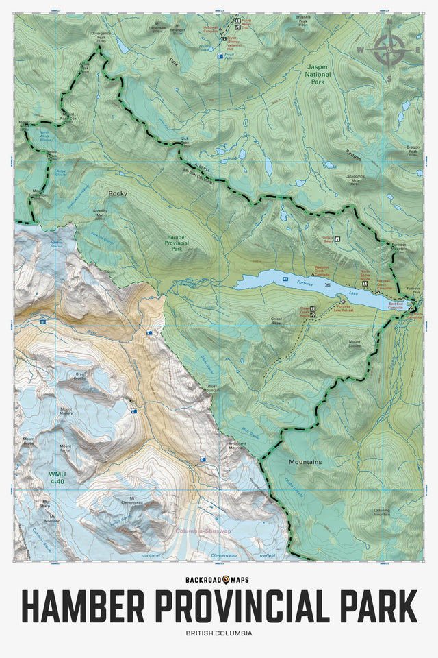
Covering Hamber Provincial Park in BC, this recreation topographic map highlights all the hiking trails, backcountry campsites, fishing lakes and rivers, waterfalls, resorts and more! Using 1:10,000 scale data, this map features our industry-leading topographic contours and relief shading and is the most detailed map available for this remote wilderness park. Included on the map are Fortress Lake, Alnus Creek, Chaba River, Chisel Creek, Chisel Peak, East End Campsite, Fortress Creek Campsite, Fortress Lake Retreat, Ghost Mountain, Lick Peak, Mount Sadleir, Serenity Mountain, Washout Creek Campsite, Wood River, Younghusband Ridge and more!
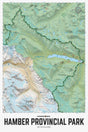
The Wall Map Format
The Wall Map version of this map features a minimal layout to display nicely to fit into common picture frame sizes so you can hang it on the cabin, home or workshop wall.
All maps come printed on waterproof synthetic material for extra durability.