
Love these
"Love these"

Couldn't load pickup availability
Map Scale: Created at
Note: In case of multiple options, the actual map scale will vary depending on the wall map size you choose.
Dimensions: 3 Options Available
This map includes
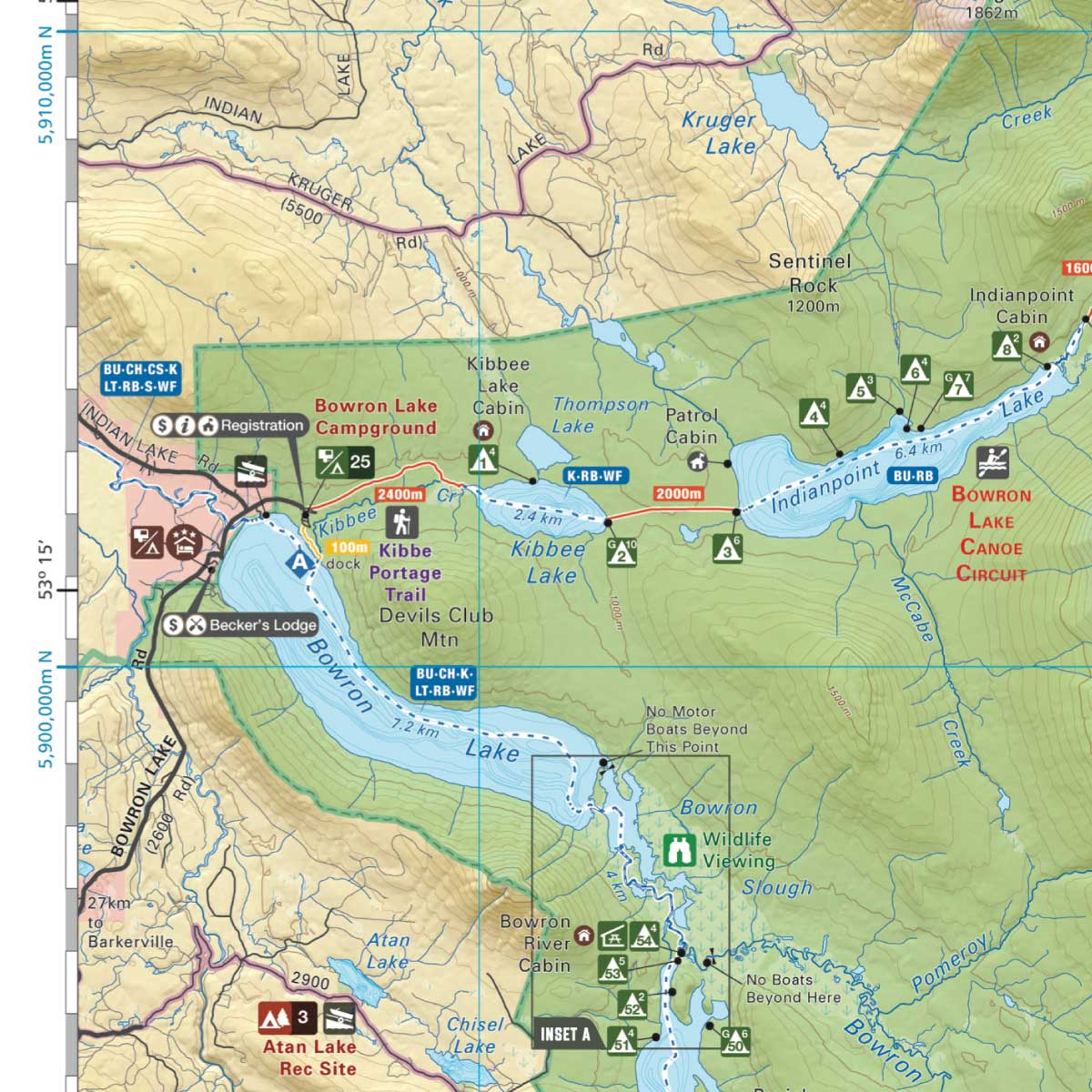
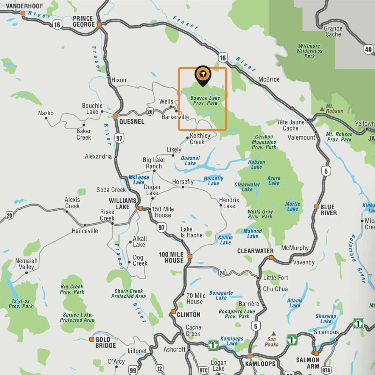
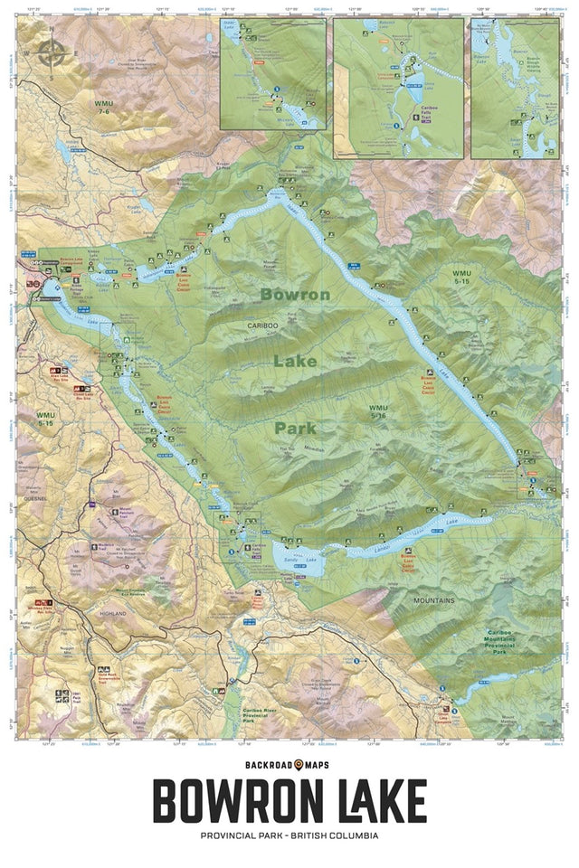
Highlighting the Bowron Lakes Canoe Circuit in Bowron Lake Provincial Park, this waterproof map features the entire canoe route and its access points, campsites, cabins, portage trails with distance markers, fish species, hiking trails and waterfalls. Use this Adventure map for fishing, camping, exploring, canoeing, kayaking, wildlife viewing and more. With 1:10,000 water and road data, no other map for the area provides you with this level of recreational or topographic detail. Covering 2,715 sq. km (1,050 sq. mi), this map includes Bowron Lake Provincial Park, Bowron Lake, Bowron River, Cariboo Falls, Cariboo River, Indianpoint Lake, Isaac Lake, Lanezi Lake, Spectacle Lakes, Swan Lake and more!
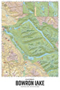
The Wall Map version of this map features a minimal layout to display nicely to fit into common picture frame sizes so you can hang it on the cabin, home or workshop wall.
All maps come printed on waterproof synthetic material for extra durability.
Overall rating: 5.0 / 5 from 2 reviews.
Review topics: [].
"Love these"
"Great quality!!"
Scale
Area
Dimensions
Pages
Release
Features
Format